Monday 20th April 2026
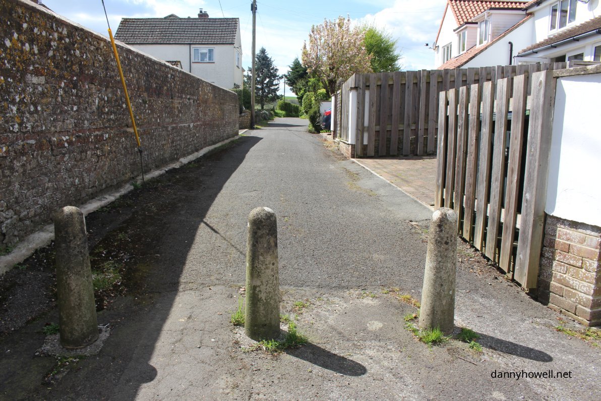
The eastern end of Dymock’s Lane, Sutton Veny, where it meets the High Street.
Photograph taken by Danny Howell on Monday 20th April 2026.
Sharing Local Knowledge About Warminster And District
Information, illustrations and images – including gleanings, parish records, and references to people – for some of the villages and town and places, particularly in the rural areas around Warminster, Wiltshire.
Monday 20th April 2026
The eastern end of Dymock’s Lane, Sutton Veny, where it meets the High Street.
Photograph taken by Danny Howell on Monday 20th April 2026.
Saturday 18th April 2026

A view from Middleton Lane to Railway Cottages, Bishoptrow.
Photograph taken by Danny Howell on Saturday 18th April 2026.
You must be logged in to view this content.
You must be logged in to view this content.
Saturday 18th April 2026
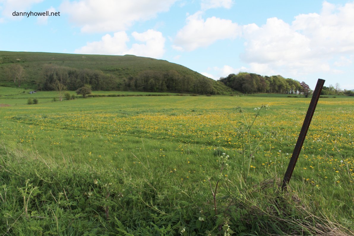
A view east from Middleton Lane, Bishopstrow, to Scratchbury Hill and Norton Wood Plantation, Norton Bavant.
Photograph taken by Danny Howell on Saturday 18th April 2026.
You must be logged in to view this content.
You must be logged in to view this content.
You must be logged in to view this content.
You must be logged in to view this content.
You must be logged in to view this content.