Wednesday 6th May 2026
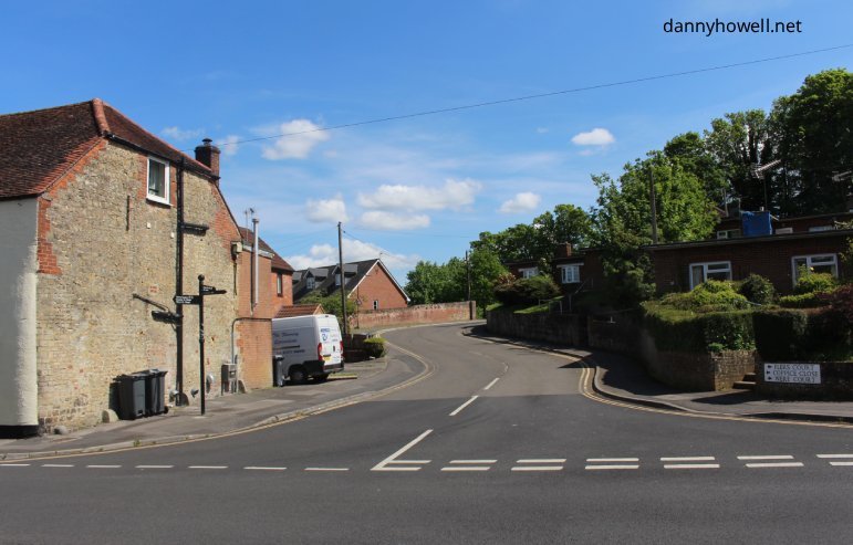
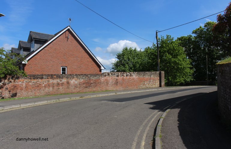
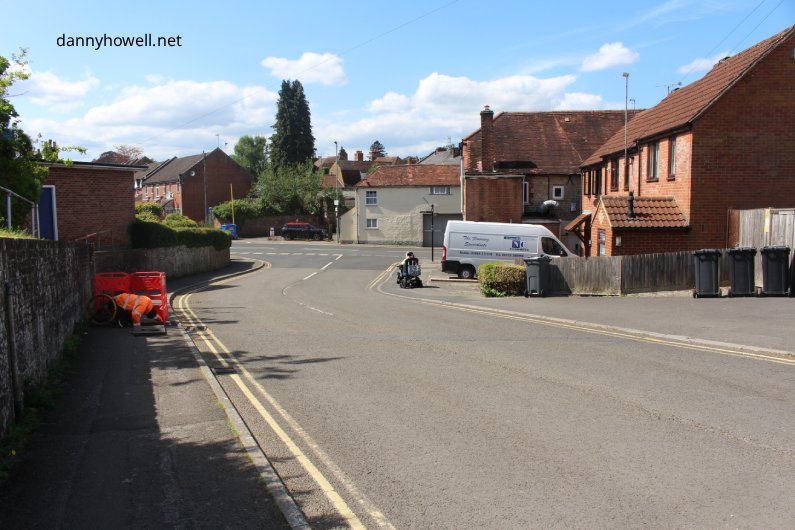
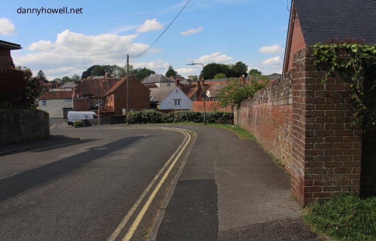
The access road to the Western Car Park, Warminster, seen from its junction with Sambourne Road.
Photographs taken by Danny Howell on Wednesday 6th May 2026.
Sharing Local Knowledge About Warminster And District
Wednesday 6th May 2026
The access road to the Western Car Park, Warminster, seen from its junction with Sambourne Road.
Photographs taken by Danny Howell on Wednesday 6th May 2026.
You must be logged in to view this content.
You must be logged in to view this content.
You must be logged in to view this content.
You must be logged in to view this content.
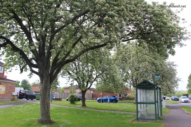
Monday 4th May 2026
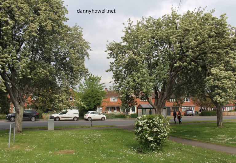
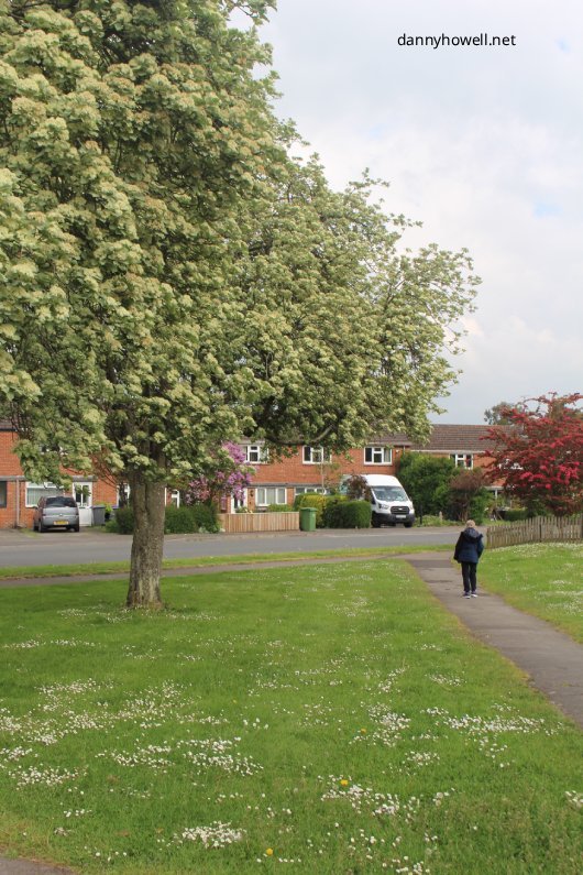
Trees on the green at Boreham Field (opposite The Dene), Warminster.
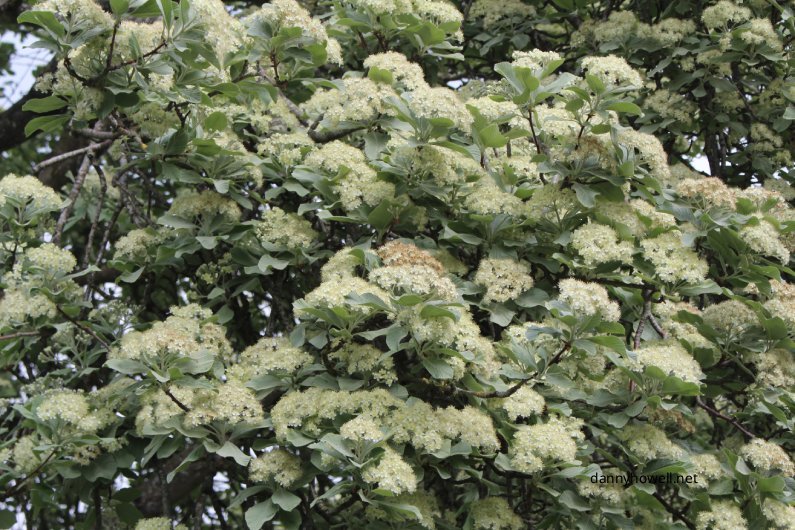
Photographs taken by Danny Howell on Monday 4th May 2026.
You must be logged in to view this content.
You must be logged in to view this content.
You must be logged in to view this content.
You must be logged in to view this content.