
Wednesday 20th March 2013:
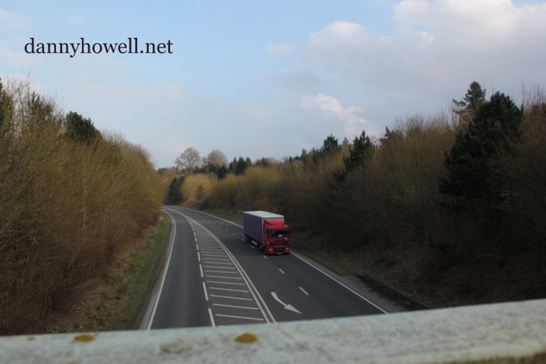
The view east from Eastleigh Bridge, over the A36 Warminster Bypass. The photograph was taken by Danny Howell on Wednesday 20th March 2013.
A geographical dictionary providing reference information about places and place names in Warminster and other civil parishes in the surrounding area.
Wednesday 20th March 2013:
The view east from Eastleigh Bridge, over the A36 Warminster Bypass. The photograph was taken by Danny Howell on Wednesday 20th March 2013.
Sunday 17th March 2013

Snow on the trees and rhododendrons at Crabtree, on the Longleat Estate, near Warminster, photographed by Danny Howell on the morning of Sunday 17th March 2013.
Sunday 17th March 2013
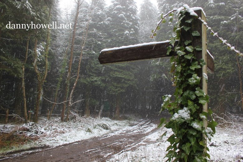
An ivy-clad sign near Keeper’s Cottage, in Crabtree Woods, on the Longleat Estate, photographed on Sunday 17th March 2013, after a fall of snow.
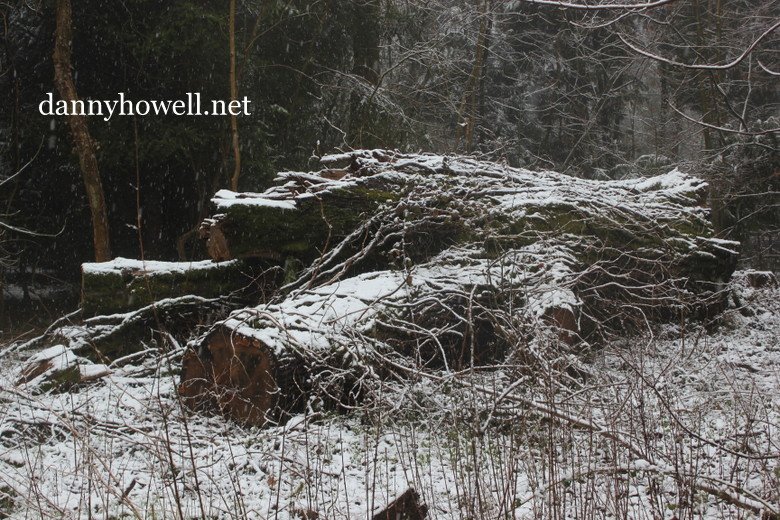
A snowy scene of some fallen timber in Longleat Woods, near Crabtree. The photograph was taken by Danny Howell on Sunday 17th March 2013.
Sunday 17th February 2013

The ancient ditch that forms part of an enclosure on Scratchbury Hill, Norton Bavant, as seen from the eastern rampart. The view looks toward the burial mound on the southern crest of the hill. Photograph taken by Danny Howell on Sunday 17th February 2013.
Sunday 17th February 2013
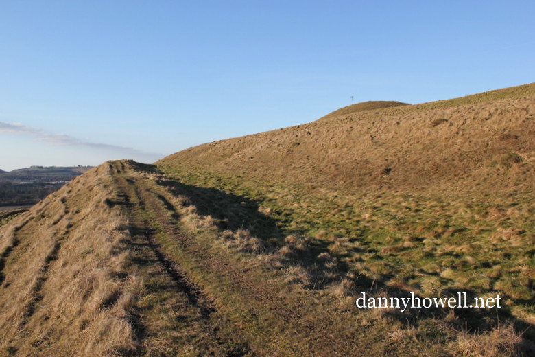
The view west from the top rampart on the southern side of Scratchbury Hill, Norton Bavant, showing the round barrow on the southern crest of Scratchbury. Photograph taken by Danny Howell on Sunday 17th February 2013.
Sunday 27th January 2013
The Halve, Warminster,
seen from its junction with Victoria Road.
Photographed by Danny Howell
on the afternoon of
Sunday 27th January 2013.
Tuesday 22nd January 2013
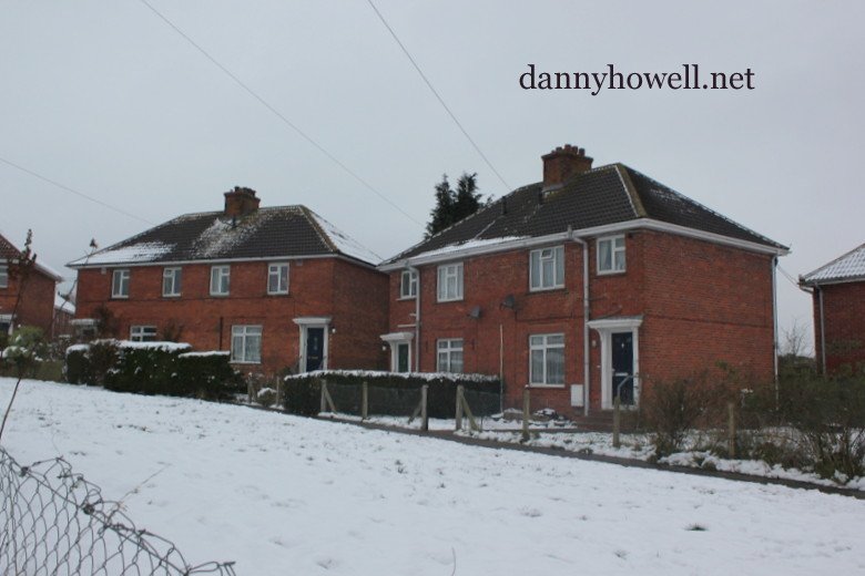
Houses at Bradley Road (The Tynings),
Warminster, with snow laying around,
photographed by Danny Howell
on Tuesday 22nd January 2013.
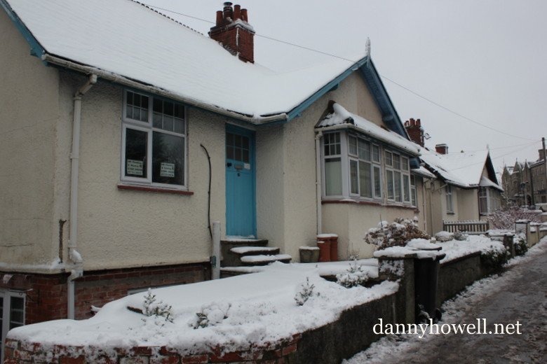
Hall’s Terrace, at Weymouth Street,
Warminster, pictured in the snow,
by Danny Howell,
on Saturday 19th January 2013.
Sunday 11th November 2012
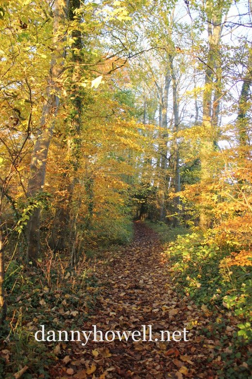
Peter’s Walk in Temple’s Plantation
at Boreham, Warminster.
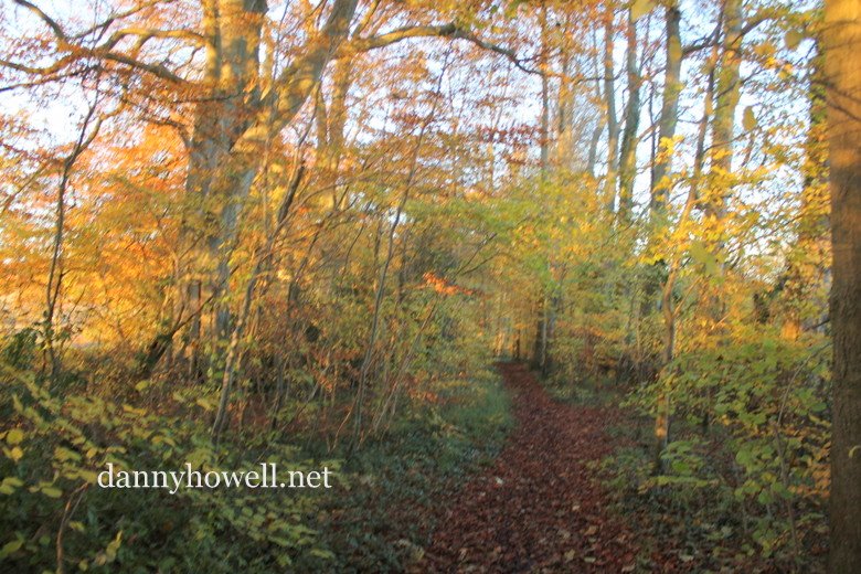
Photographs taken by Danny Howell
on the afternoon of Sunday 11th November 2012.