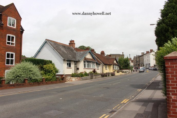
Tuesday 15th November 2016
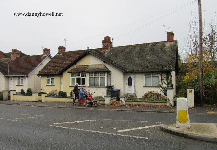
The northern end of Hall’s Terrace,
Weymouth Street, Warminster.
Photograph taken by Danny Howell
on Tuesday 15th November 2016.
A geographical dictionary providing reference information about places and place names in Warminster and other civil parishes in the surrounding area.
Tuesday 15th November 2016
The northern end of Hall’s Terrace,
Weymouth Street, Warminster.
Photograph taken by Danny Howell
on Tuesday 15th November 2016.
Thursday 25th August 2016
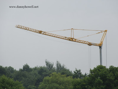
A crane at the former Beeline Coach Depot
(where residential development has begun),
Bishopstrow Road, Warminster.
Photograph taken by Danny Howell
on Thursday 25th August 2016.
Monday 1st August 2016
The A36 Warminster Bypass will be closed tonight (Monday 1st August 2016) from 8.00 p.m. until tomorrow (Tuesday 2nd August 2016) at 8.00 a.m., between the Cotley Hill Roundabout at Heytesbury and the Bore Hill Roundabout at Crockerton. This is to allow surveying work to be carried out safely. Diversions will be in place.
Saturday 9th July 2016
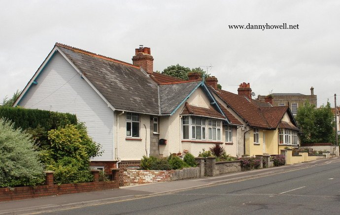
Hall’s Terrace,
Weymouth Street, Warminster, BA12 9NR.
Photographs taken by Danny Howell
on Saturday 9th July 2016.
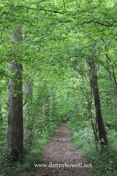
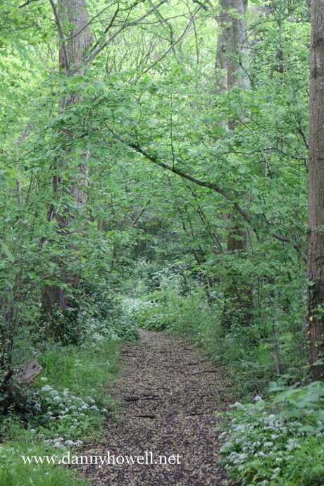
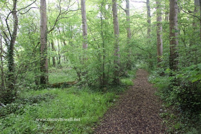
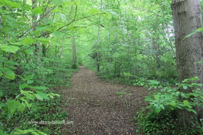
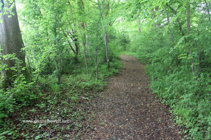
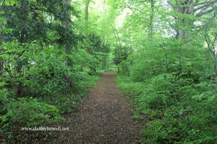
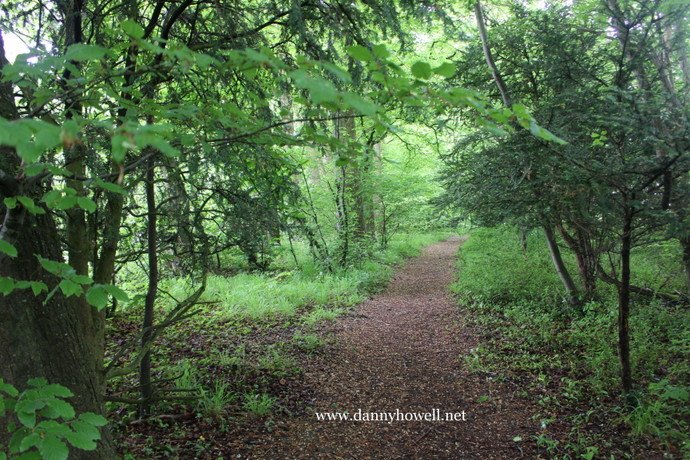
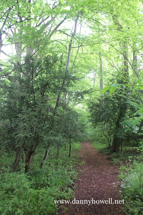
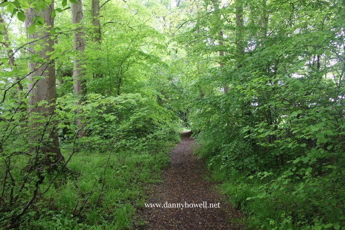
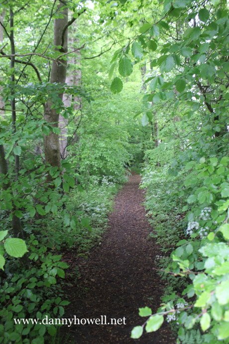
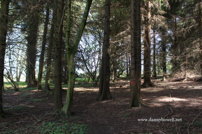
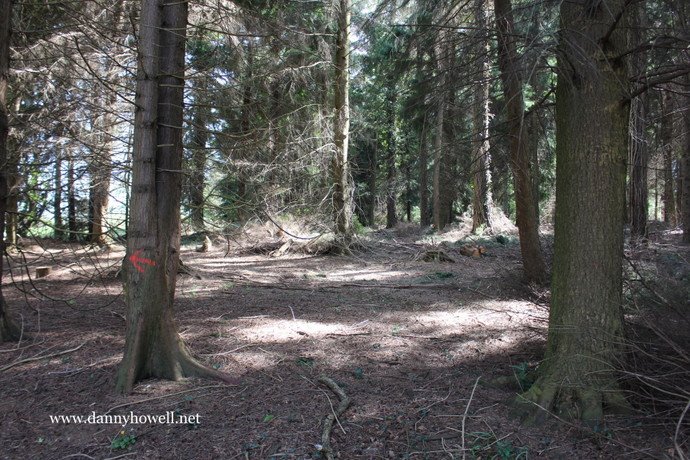
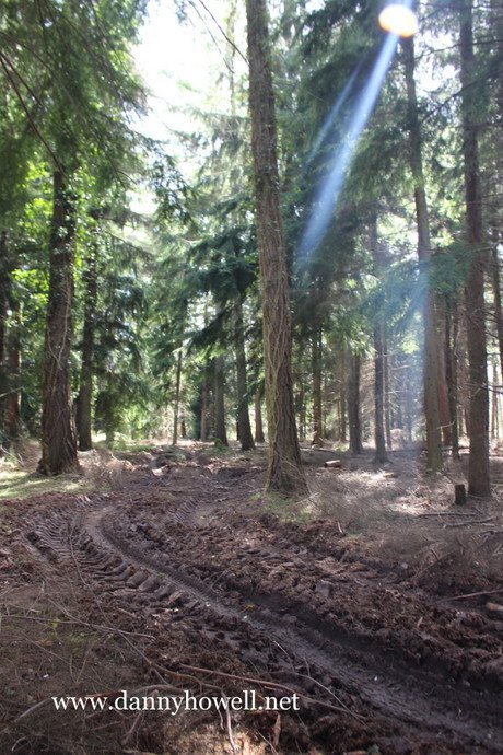
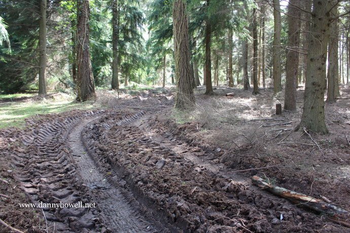
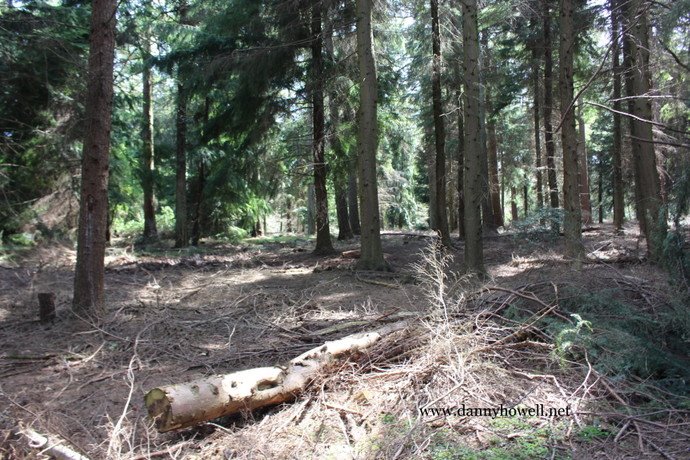
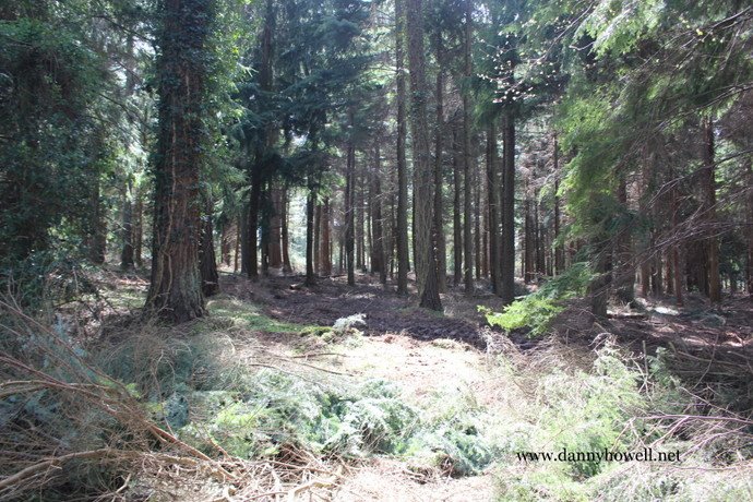
Saturday 21st May 2016
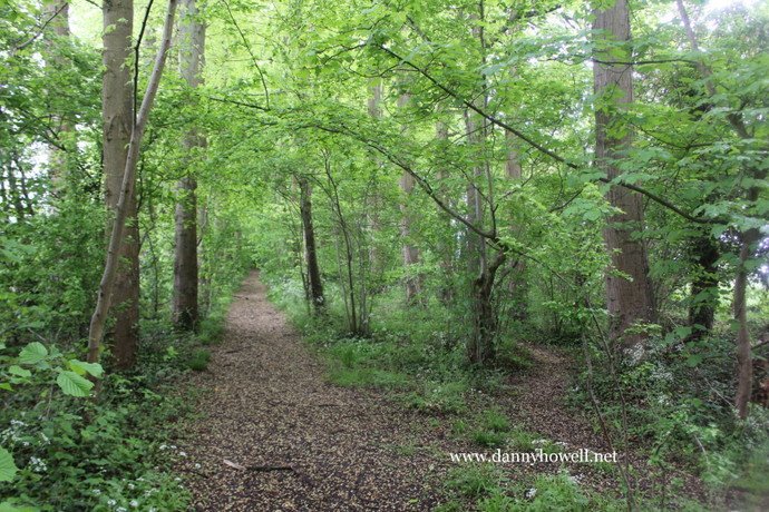
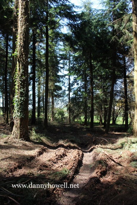
Peter’s Walk in Temple’s Plantation
(Primrose Wood), Boreham, Warminster.
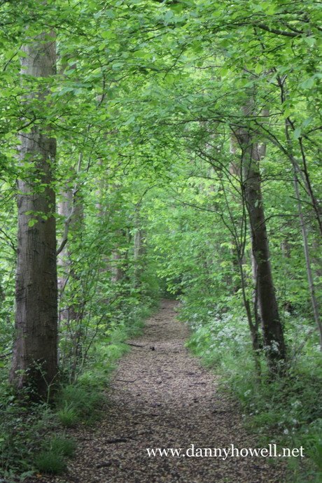
Photographs taken by Danny Howell
on Saturday 21st May 2016.
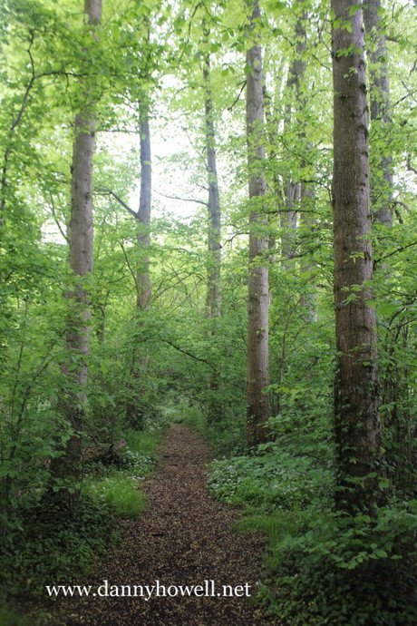

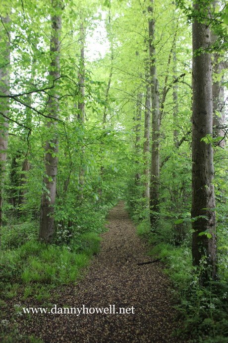
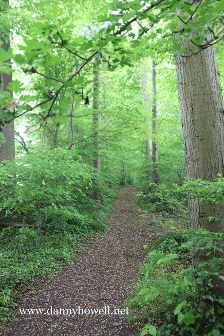
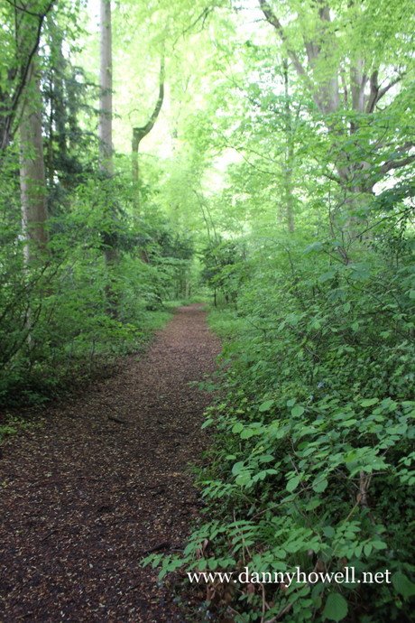
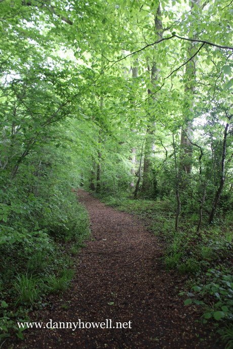
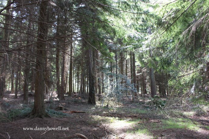
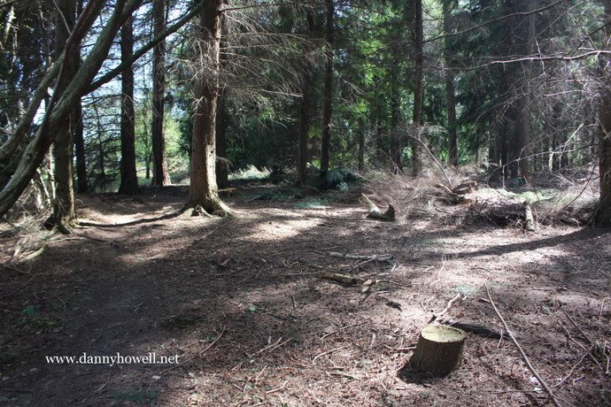
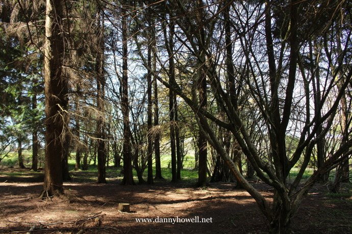
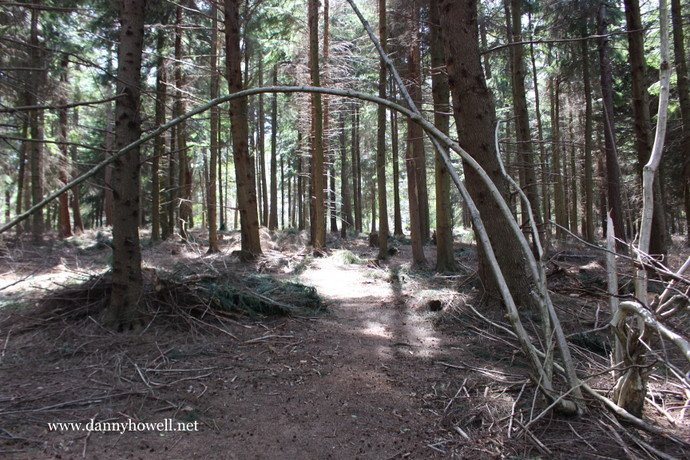
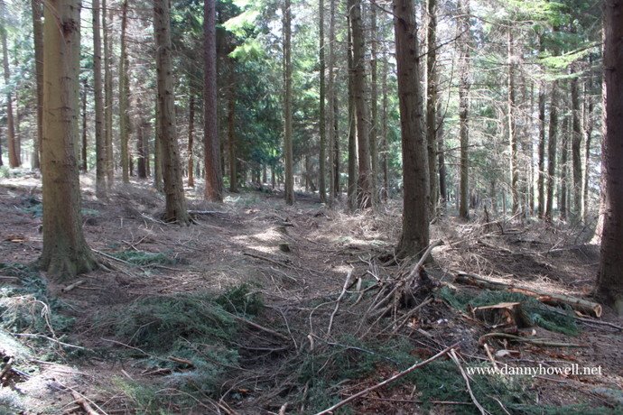
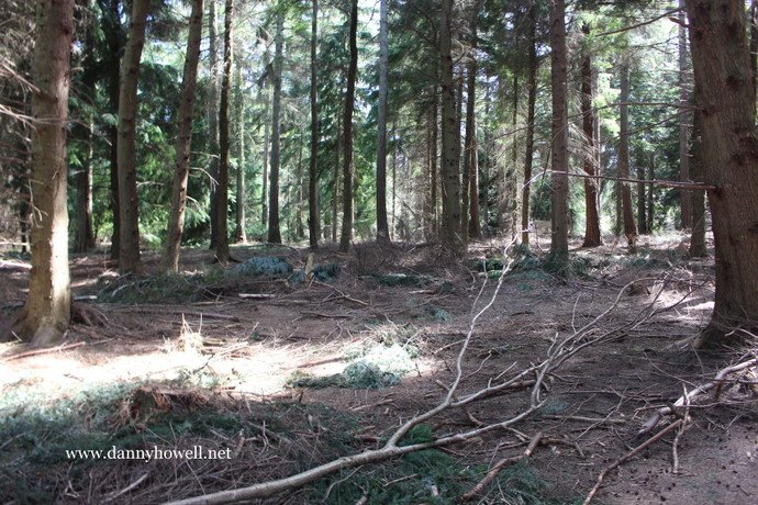
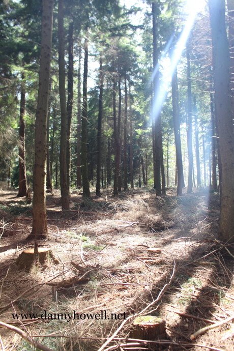
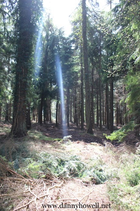
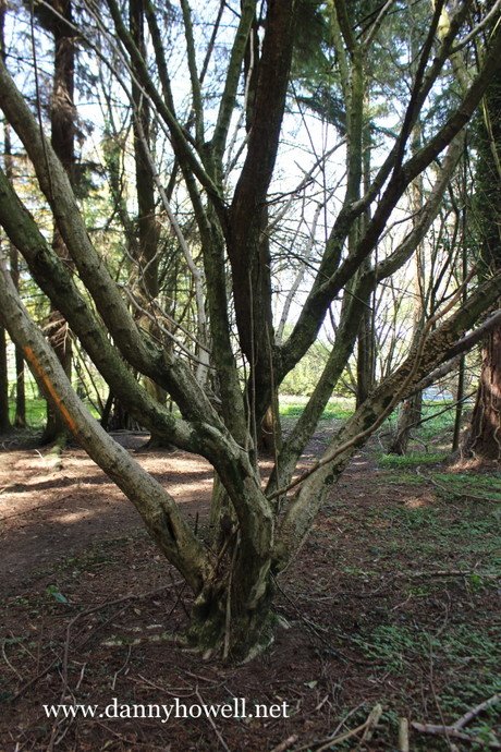
Wednesday 4th May 2016
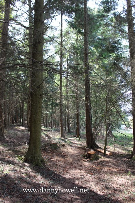
In Nutball Plantation, Longleat.
Photographs taken by Danny Howell on Wednesday 4th May 2016.

Wednesday 4th May 2016
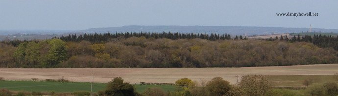
View from near Park Gates, Longleat, across some of the fields of Bugley Barton Farm to Norridge Wood.
Photographs taken by Danny Howell
on Wednesday 4th May 2016.
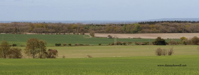
Monday 18th April 2016
View across Hounds Mead, Bishopstrow, to Boreham Manor, 200 Boreham Road, Warminster. Photograph taken by Danny Howell on Monday 18th April 2016.
Saturday 9th April 2016
Councillor Christopher Newbury, Chairman of the Western Area Planning Committee, has very kindly shared with dannyhowell.net the full wording of Wiltshire Council’s reasons for refusing the planning application submitted by HPH Ltd., for 35 houses on the Spurt Mead watermeadow at Boreham, Warminster.
“The site lies outside the limits of development defined for Warminster in the Wiltshire Core Strategy. In this location, the proposed development for residential purposes would conflict with Core Policy 2 of the Wiltshire Core Strategy which only allows residential development beyond these limits through a plan led process of a Site Allocations Development Plan and/or a Neighbourhood Plan. The proposal has not been brought forward through either of these means and therefore conflicts with the delivery strategy of the Wiltshire Core Strategy.
Furthermore, the proposal would result in the development of a site that is currently undeveloped countryside that forms part of the gap between the built-up area of Warminster and the nearby village of Bishopstrow. The Council considers it important to maintain this gap of undeveloped countryside to prevent the coalescence of the town with Bishopstrow, which was one of the objectives behind the setting of the town limits in this location when they were originally defined. The significant alteration in the character and appearance of this area of open countryside through the construction of this unplanned urban development would seriously erode the remaining gap between the town and village and would have an adverse impact on the character and appearance of the area. This would conflict with Core Policy 51 of the Wiltshire Core Strategy that seeks to maintain the separate identity of settlements. The Council considers that the adverse impact of the loss of a significant part of this gap and the change in the character and appearance of the area that would result from the development of this site significantly and demonstrably outweighs the benefits of the proposal.”
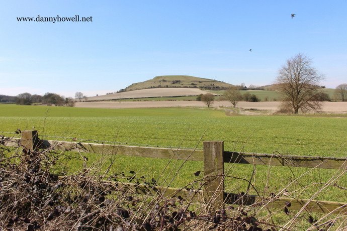
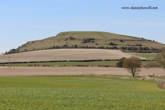
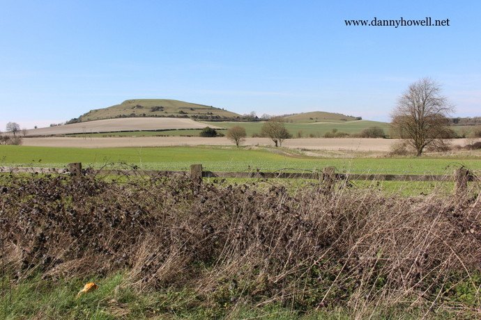
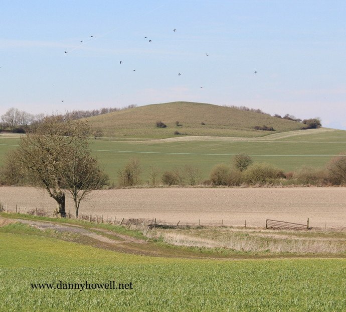
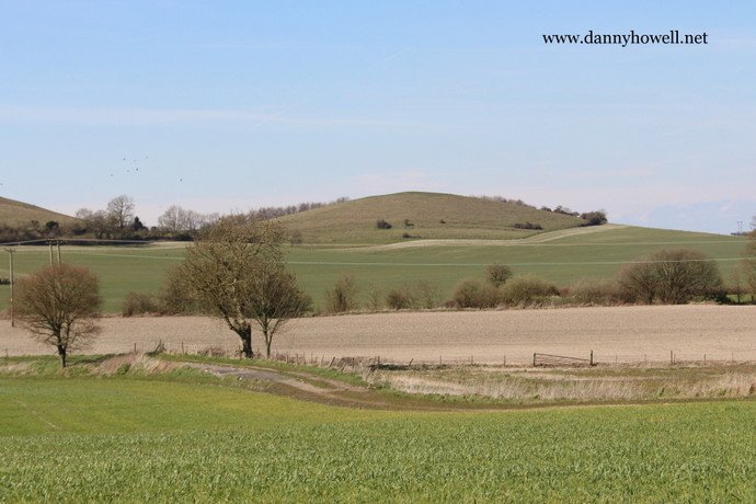
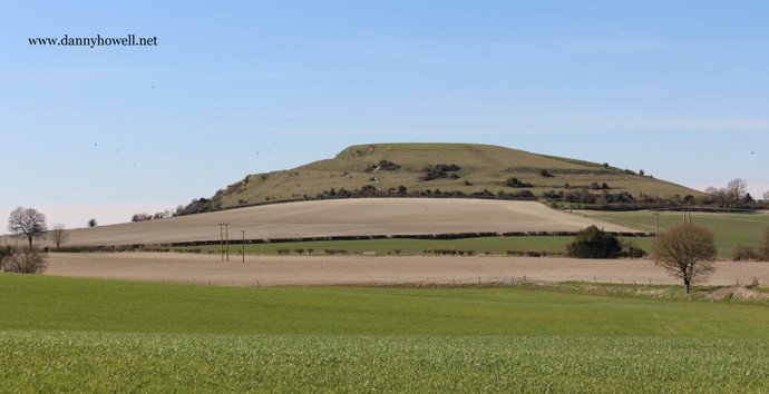
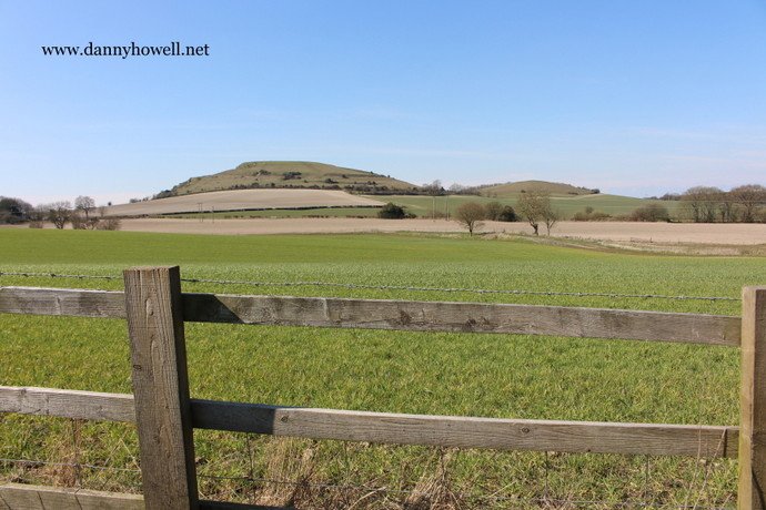
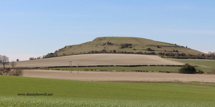
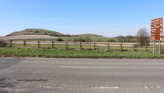
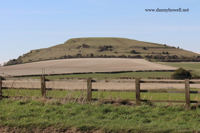
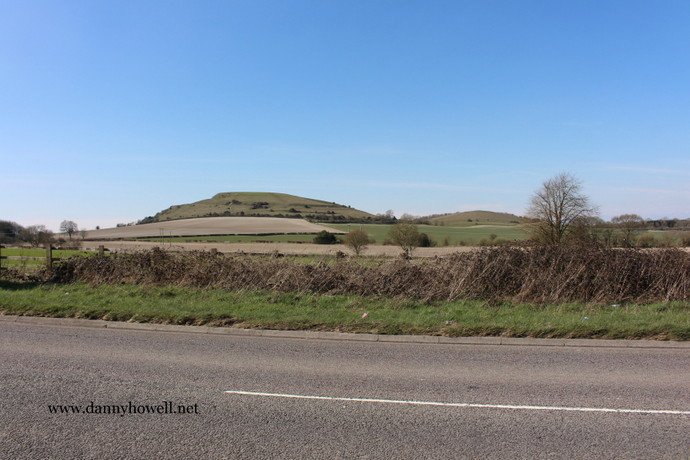
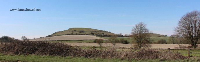
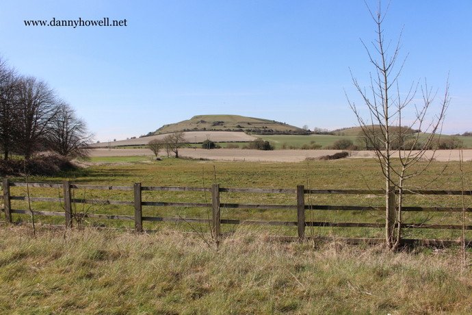
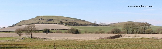
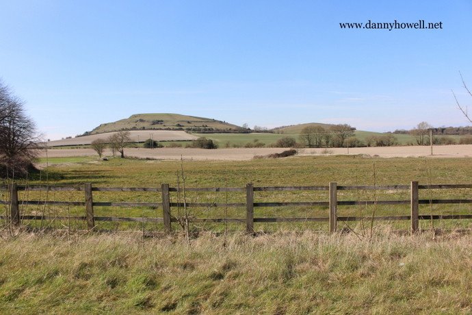
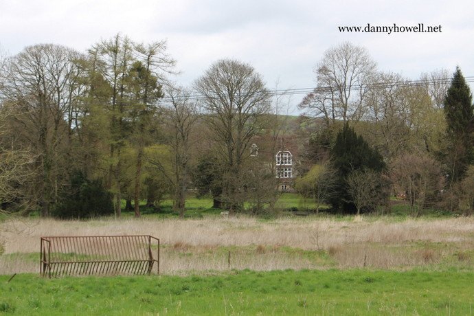
Saturday 2nd April 2016
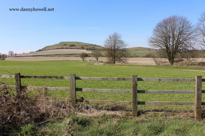
The view to Cley Hill, Warminster, (Big Cley Hill and Little Cley Hill) from the A362 Frome Road, at the lower end of Half Mile, Warminster.

Photographs taken by Danny Howell
on Saturday 2nd April 2016.