Yes To Dwellings At Beckford Close, Warminster, But With A Note About The Highway At Gipsy Lane

Monday 9th September 2013

Members of  the Planning Advisory Committee of Warminster Town Council, at a meeting at the Civic Centre, Warminster, on Monday 9th September 2013, voted in favour of a planning application for the erection of a pair of semi-detached dwellings on land at the rear of 13 Beckford Close, Warminster, but with the proviso that a note be made about highways at Gipsy Lane, bearing in mind the development of the new care home opposite on the former Beckford Hospital site.

Over 60 Years Ago At The Tynings, Warminster

Saturday 7th September 2013

Richard Dombkowski writes ~

Hi Danny,
Here is another photograph from our family album. It was taken at what was No.5 The Tynings (now Bradley Road), Warminster. The number of the house is different today. It could be No.56 Bradley Road but I’m not sure.

In the picture are, left to right: Les Plank (my uncle); Elsie Hitchings (my grandmother); Gwen Dombkowski (my mother); Phyllis Plank (my auntie); and John Hitchings (my uncle). With them is Mickey the dog.

We do not know the exact date when this photo was taken but we think it must be the late 1940s, early 1950s, most likely about 1949/1950.

Danny Howell replies ~

Thank you again Richard for sharing another old photograph. It’s a wonderful group photo. We wonder who the photographer was?

Richard Dombkowski’s Recollections Of Woodcock Road Caravan Site, Warminster

Wednesday 3rd July 2013:

Richard Dombkowski has contacted dannyhowell.net, kindly sharing two Warminster photos taken about 30 years ago ~

Richard writes ~
These two photos show a couple of the many places I have lived in over the years. These were both at the caravan and mobile home site, off Woodcock Road, Warminster, where Whitfield Close is now. The photos were taken during the early to mid-1980s. At that particular time in my life I had some really good fun. For me it was a landmark in time with a mixed bag of wonderful memories. John Whitfield, who ran the site, was a real nice guy ~ a gentleman.

Beds Feet, Warminster

Thursday 23rd May 2013

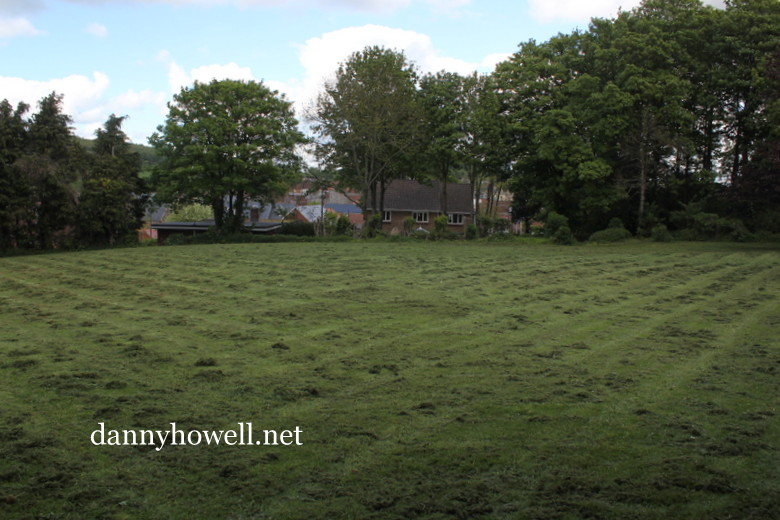
At the lower end of Sambourne, Warminster, up on the high bank opposite the house known as The Myrtles (the white house in the above photo) is a small area of grass, tucked between Primrose Lane and Sambourne Gardens.

This area is marked on maps from the late 1700s and early 1800s as “Beds Feet”.

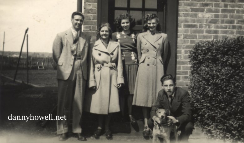
Louisa Wansey, born in 1821, a daughter of Henry and Elizabeth Wansey, grew up at Sambourne House. Writing some of her hildhood memories, in 1875 (by which time she was Mrs. Louisa Colfox), she recalled “delightful games” of hide and seek with her sister Anna Elizabeth and her brother Arthur at various places around her home including Beds Feet, which she mentioned by name.

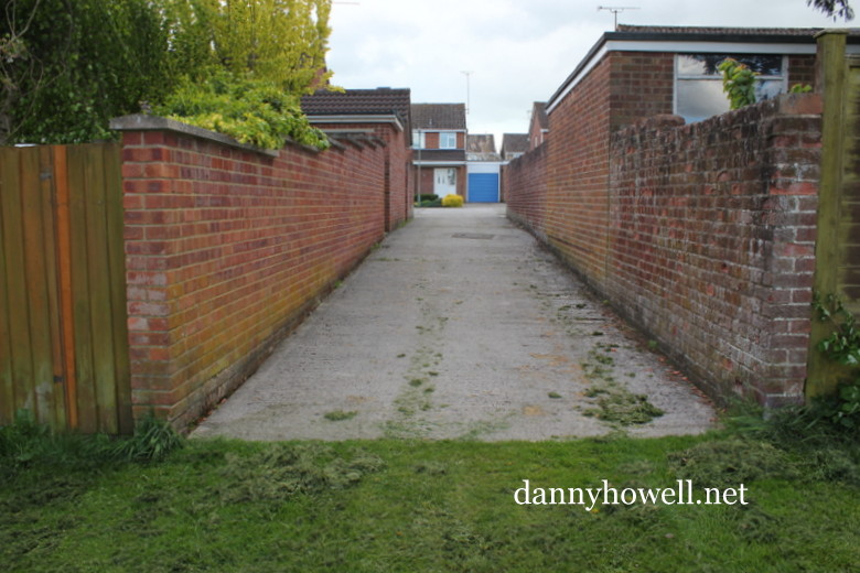
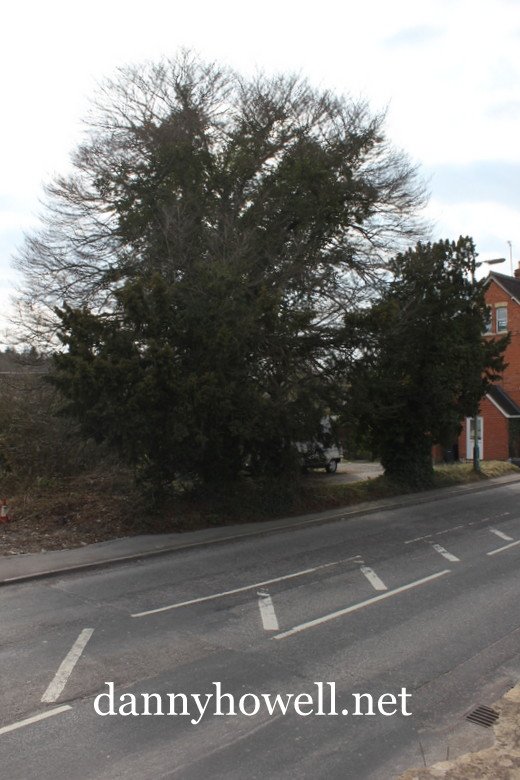
Beds Feet can be accessed today by an alleyway between Nos.16 and 17 Sambourne Gardens.

The access to Beds Feet between 16 and 17 Sambourne Gardens, Warminster.

This is how vehicles such as the grass mowing machines get in and out of Beds Feet.

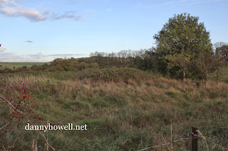
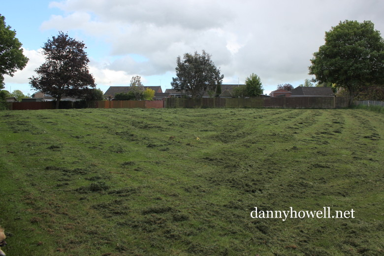
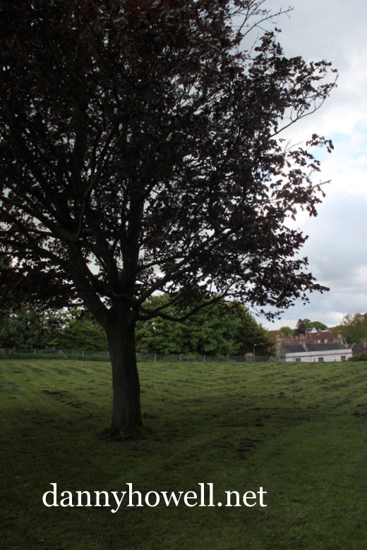
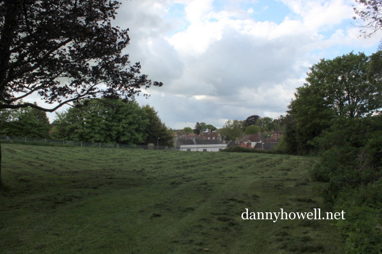
View north-west across Beds Feet.

These photographs were taken by Danny Howell on Thursday 23rd May 2013.

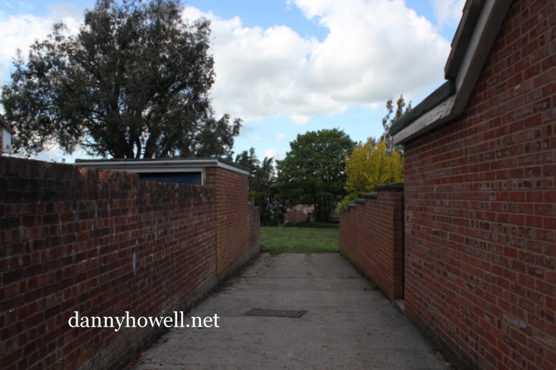
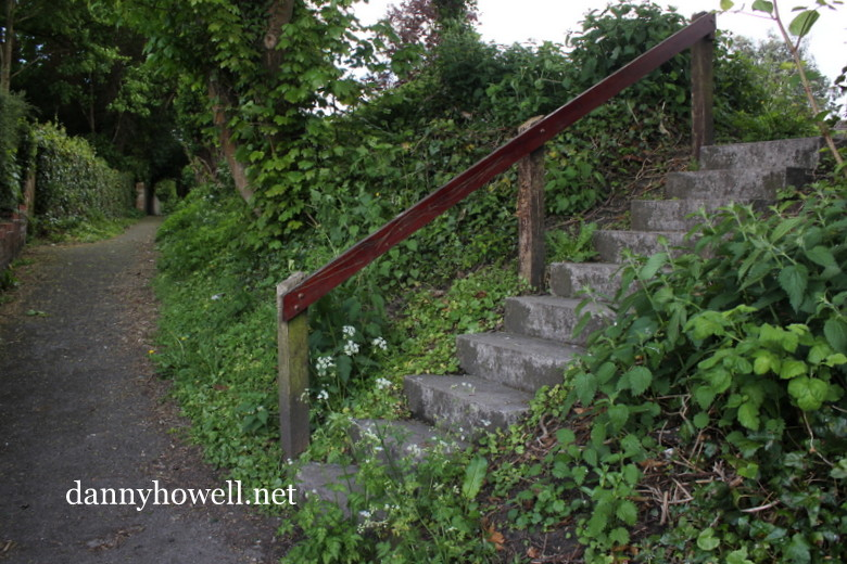
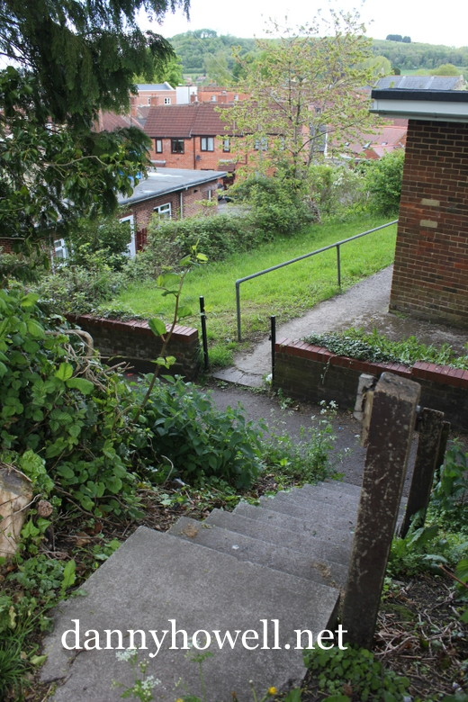
Pedestrian access to Beds Feet can also be gained by these ten stone steps off the western end of Primrose Lane, between Sambourne Road and Weymouth Street.

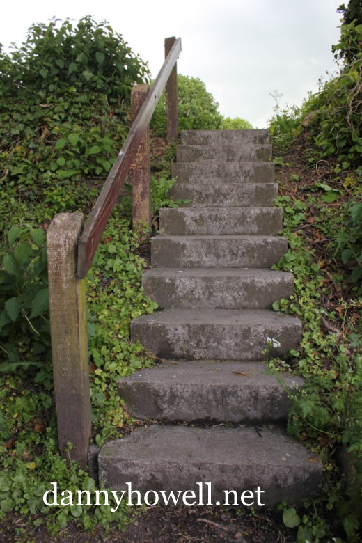
Up the steps to Beds Feet.

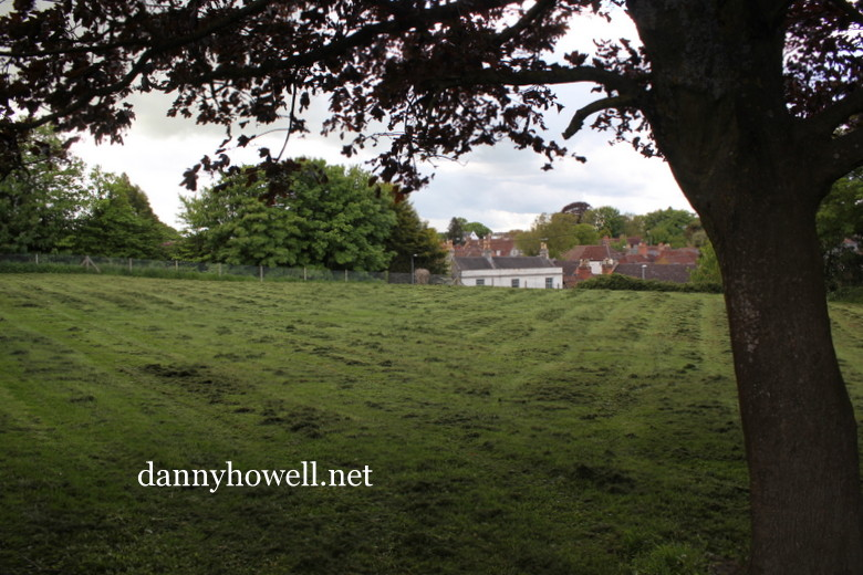
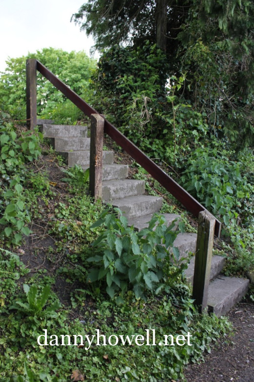
The view down the steps from Beds Feet to Primrose Lane. 
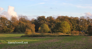
Beds Feet.

St. Lawrence Mead, Warminster

Friday 5th April 2013

The area immediately east of Park Cottages at Boreham Road, and west of Spurt Mead, Boreham, Warminster.

A narrow strip of land here, running north/south between Boreham Road and the River Wylye once belonged to St. Lawrence’s Chapel, Warminster, and was known as St. Lawrence Mead (sometimes spelt St. Laurence Mead).

Park Cottages, to the right of this picture, take their name from the watermeadow immediately to the south of them. This watermeadow was known simply as The Park.

Photographs taken by Danny Howell on Friday 5th April 2013.

The field to the west of the strip known as St. Lawrence Mead was a water meadow called Spurt Mead.

Hall’s Terrace At Weymouth Street, Warminster

Friday 29th March 2013

Hall’s Terrace on the west side of
Weymouth Street, Warminster,
photographed by Danny Howell
on Friday 29th March 2013.

The Hall’s Terrace sign, featuring the date 1921,
on the exterior wall of the most northern of
the homes that make up the terrace. 

A view of Hall’s Terrace, as seen from
near the entrance of the
Lake Pleasure Grounds.

error: Content is protected !!