
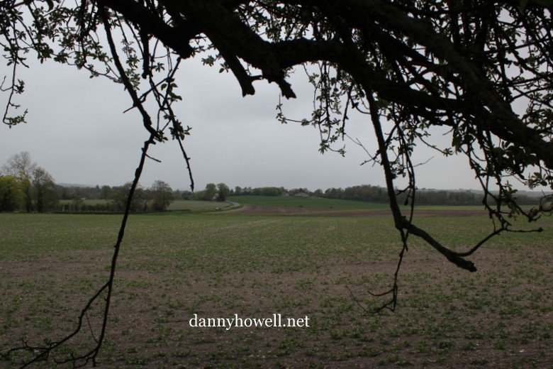
Sunday 17th August 2014
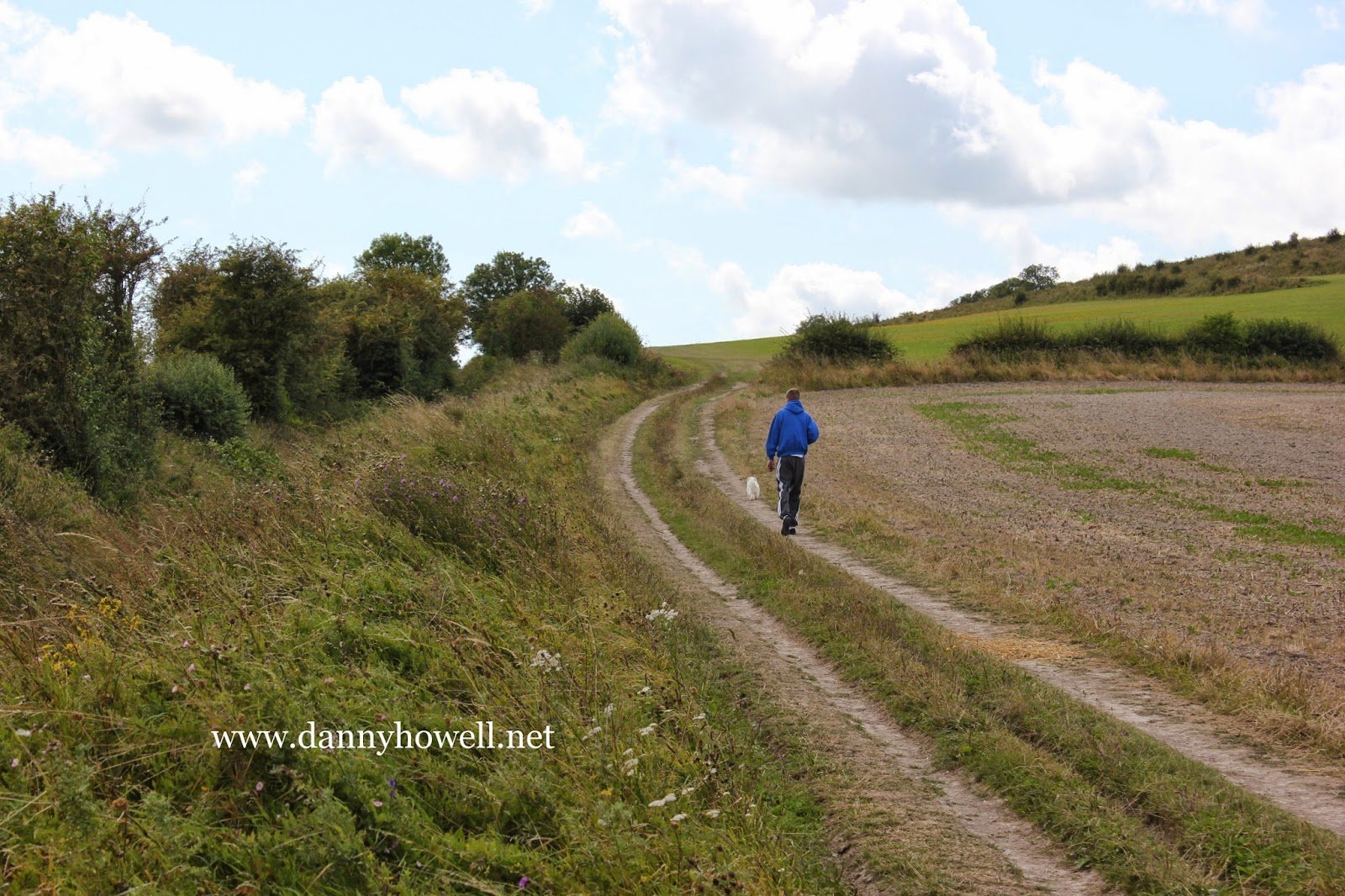
Some scenes on the eastern side of the
40 Acres (a field of Bishopstrow Farm),
behind Middle Hill.
Looking towards Middle Hill.
Photographs taken by Danny Howell
on Sunday 17th August 2014.
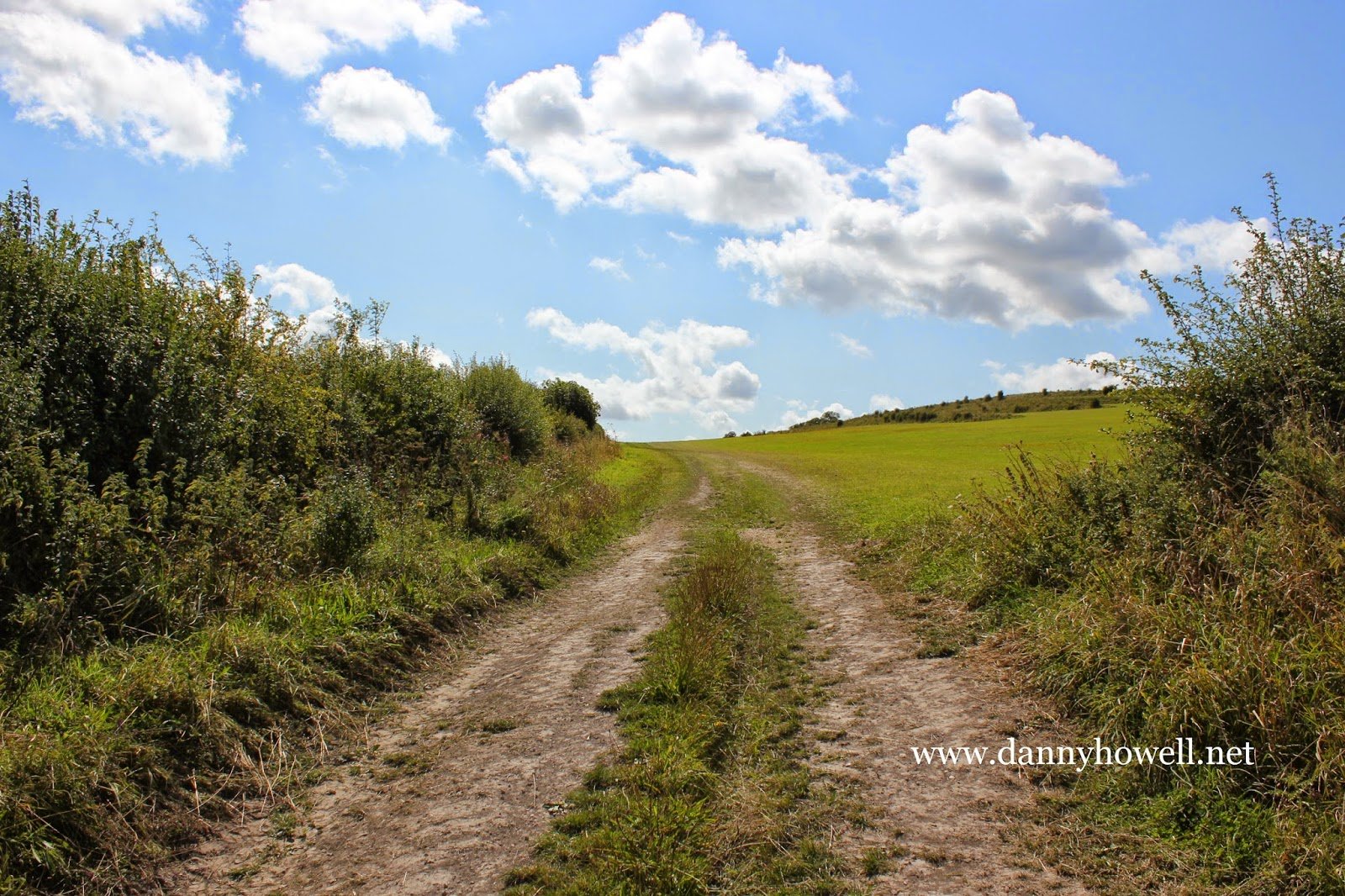
Norton Drove.
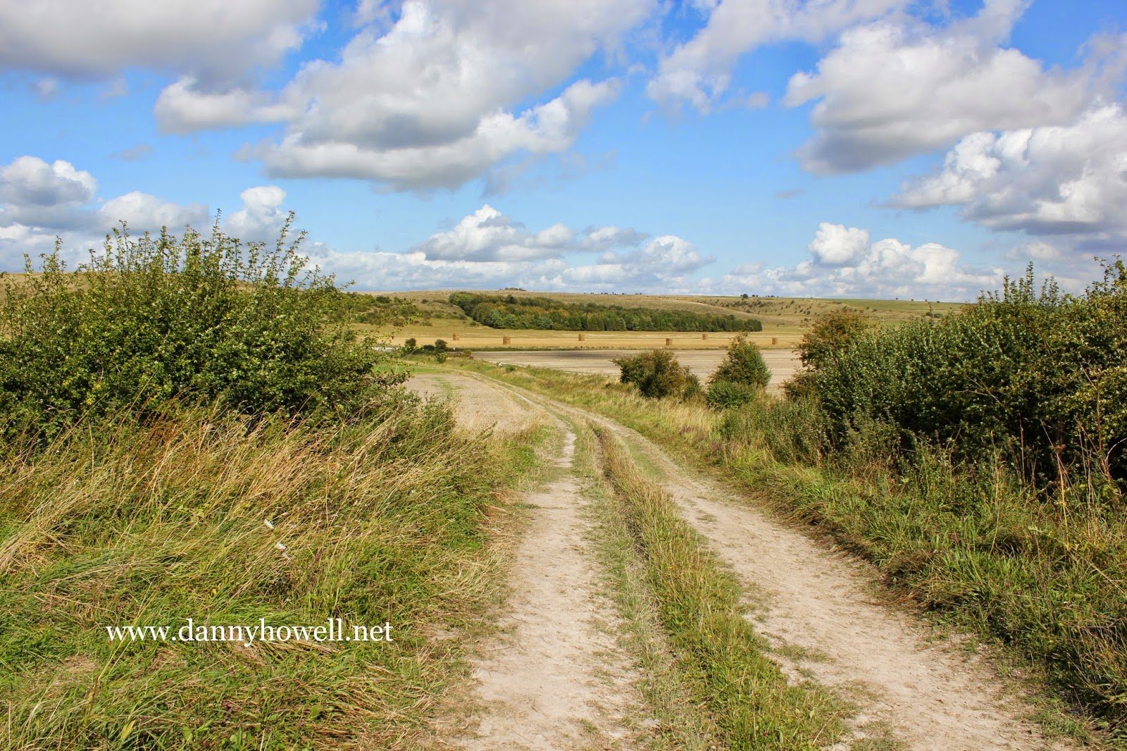
Sunday 17th August 2014
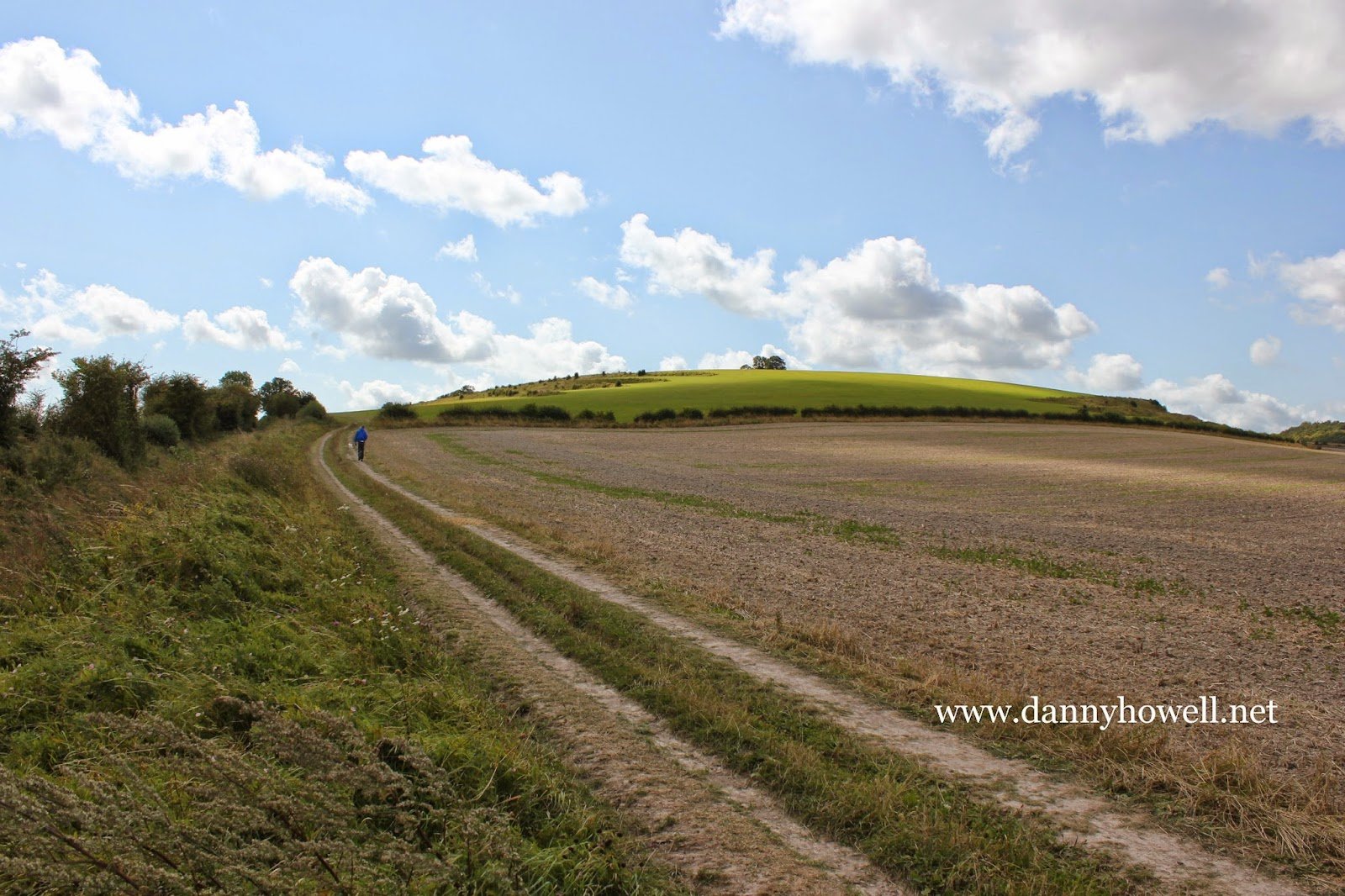
Some scenes on the eastern side of the
40 Acres (a field of Bishopstrow Farm),
behind Middle Hill.
Looking towards Middle Hill.
Photographs taken by Danny Howell
on Sunday 17th August 2014.
Norton Drove.
Thursday 24th July 2014
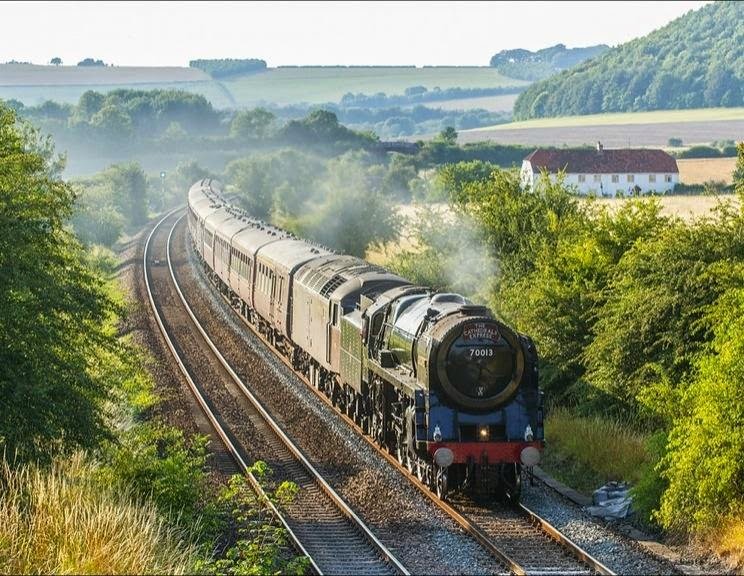
Glen Batten has posted on his Twitter page
his excellent photograph of the Oliver Cromwell
locomotive hauling the Cathedrals Express
as it approaches the North Farm Road Bridge,
Norton Bavant, on Thursday 24th July 2014.
Railway Cottages, Middleton, in the background.
Battlesbury Wood in the top right corner.
Arn Hill and Cradle Hill in the background.
Wednesday 8th May 2013
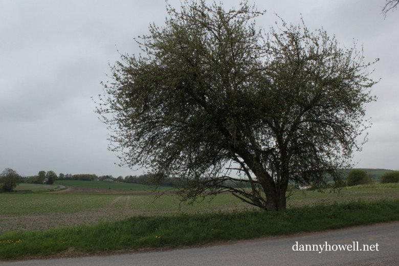
The view west from an apple tree
adjacent North Farm Road, Norton Bavant,
looking towards Bishopstrow Farm.
Photographs taken by Danny Howell
on Wednesday 8th May 2013.
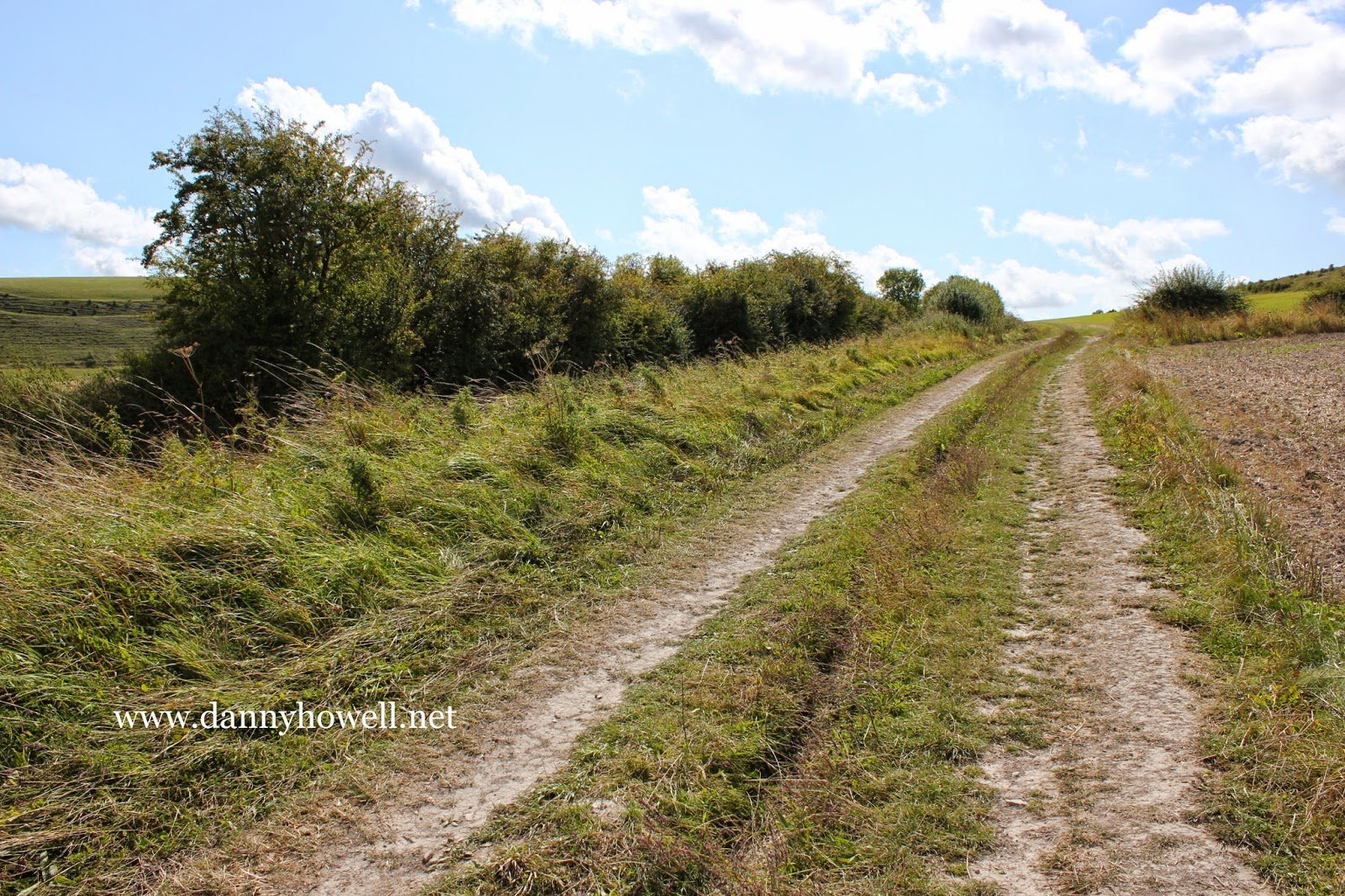
Tuesday 5th March 2013
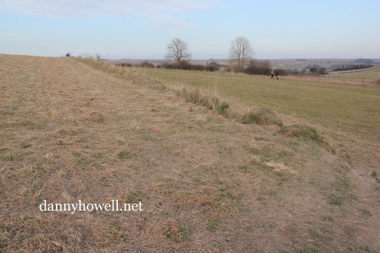
A view across the strip lynchets on the eastern side of
Middle Hill, in the parish of Norton Bavant.
The grass has been recently cut.
Photograph taken by Danny Howell
on Tuesday 5th March 2013.
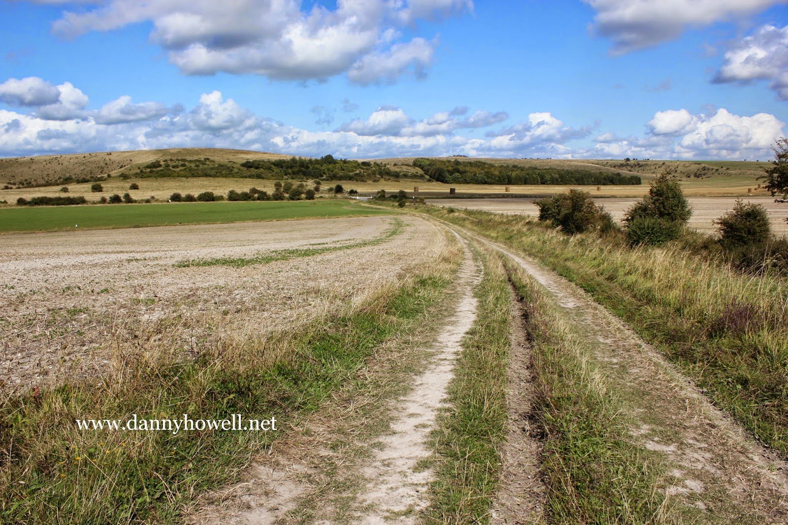
Thursday 14th February 2013
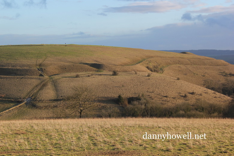
The eastern corner of Scratchbury Iron Age Hill Fort, Norton Bavant, seen from Middle Hill, Bishopstrow. The photograph was taken by Danny Howell on Thursday 14th February 2013.
Friday 28th September 2012
The Neighbourhood Watch Co-ordinator for Norton Bavant, in the Wylye Valley, is Gordon Evans, telephone 01985 840559.
Norton Bavant Is Having A Field Day
Saturday 4th June 2000
The Official Opening Of ‘The Sir John Jardine-Paterson Memorial Field’
4pm – the unveiling of the memorial stone followed by afternoon tea for children of all ages from 2 to 92 . . . .
Savouries, sandwiches, cakes, soft drinks for the children, Pimms or wine for the adults.
Plenty of room for the children to run around and play. Why not bring a picnic rug or some garden chairs?
7pm – the barbecue will be fired up, so bring your own food and drink and have a congenial evening.
This event is free to all however we would appreciate knowing approximate numbers of children and grandchildren attending the afternoon tea.
Anyone able to help with savouries, cakes, scones, cookies, etc., for the tea, please contact Ian and Suzanne Newman on 840049.
In Warminster And District Archive magazine, No.3, Summer 1989, Danny Howell writes:
Cromwell’s Yew, Norton Bavant
Situated adjacent the B3414 (the old A36) Warminster – Heytesbury road, on the south side of the highway, approximately 1¾ miles east of Warminster Town Hall, is a yew tree (ST902439). It stands nearly opposite the turning for Middleton Farm and is just east of the appropriately named Yew Tree Cottages, Bishopstrow. Although Bishopstrow often claims it as its own, the tree is, in fact, in Norton Bavant because the parish boundary between Bishopstrow and Norton Bavant runs immediately west of the tree, between it and the cottages.
The tree has been known locally for many years as Cromwell’s Yew and has some conflicting folklore associated with it. Some guide books and historians (including Warminster’s own Victor Manley in the 1920s) have noted that the tree is so named because Oliver Cromwell ate his breakfast in the shade of it soon after his defeat at Roundaway. The Battle of Roundway Down, near Devizes, was fought on 13th July 1643. The Parliamentary Army at Roundway was under Sir William Waller, who was the commander of the force in the West of England. At that time Oliver Cromwell was only a Colonel and not as important as he later became, and more to the point, he was not present at the Battle of Roundway Down. Throughout 1643 he was elsewhere, mainly in the eastern counties – on 14th March 1643 he suppressed a rising at Lowestoft, in early April he disarmed the Huntingdonshire Royalists, on 28th April he took Crowland, on 13th May he defeated the Royalists at Grantham, and before the end of May was at Nottingham. He recaptured Stanford in July and took a leading part in the Battle of Gainsborough (28th July). He later led at the victory of Winceby on 11th October . It is therefore most unlikely that he was ever in the Norton Bavant area in 1643!
Other historians note that Cromwell did have his breakfast under the yew tree near Norton Bavant, but beg to differ on the date, saying it was after the Battle of Newbury. Cromwell was certainly present at the Second Battle of Newbury on 26th October 1644, when he was one of the commanders of the division sentto storm Prince Maurice’s entrenchments at Speen. Perhaps he came Norton Bavant way afterwards, but again it seems unlikely. He was, however, later at Devizes (18 miles distant from Norton Bavant) and Salisbury (19 miles). He visited Salisbury, we are led to believe, on 17th October 1646. It seems more likely that if he was ever at the Norton yew, that it would have been nearer this time. Without any hard evidence it is difficult to prove but most folk legends and myths have an element of truth in them.
Another yarn associated with the tree tells of how fairies have been seen dancing around it at night. As with most folklore, there is a footnote to this story: should anyone harm the tree the fairy spirits will seek their due and unforgetful recompense! Needless to say, for many years, locals have refused to have the tree cut down or tampered with, and up until the Second World War it was fenced off with some railings (probably to stop cattle from eating its poisonous leaves, seeds and bark). The ironwork was probably removed as scrap for the ammunitions drive of the War. Today, a broken-down barbed wire fence provides some useless protection against animals straying near the tree. The yew stands in the north-west corner of a field currently in use for arable crops (part of Sir John Jardine Patterson’s South Farm, Norton Bavant).
The April 1988 issue of Country Living, a national magazine, featured an article about yew trees and asked readers to submit details about yews in their areas as part of a nationwide survey. Six questions were asked: location and grid reference of tree; name of church if the yew tree was in a churchyard; and the position of the tree in relation to the church, i.e. north, south, east or west; details of ancient burial mounds, barrows or other archaeological site within 200 metres of the tree; legends, local folk stories or historical fact relating to the tree including measurements made in the past; and the girth of the tree measured at three feet above ground level. It was also asked that readers enclose photographs of the yew trees to accompany the information.
The details were requested by the Conservation Foundation/Country Living Yew Tree Campaign, at 11a West Halkin Street, London, SW1X 8JL. The data was to augment their lists and select perfect trees for further study and radiocarbon dating. In return for the information the Foundation would estimate the age of the trees and send participants a Country Living yew tree certificate, signed by the Archbishop of Canterbury, Alan Meredith (editor of Country Living), David Bellamy (the conservationist), and Robert Hardy (the actor, who is also an expert on the longbow, which is traditionally made of yew – he has written a book on the subject).
I decided to submit details for Cromwell’s Yew at Norton Bavant (and also for the yew trees in Bishopstrow Churchyard but that’s another story), and enclosed the information referred to earlier in this article. I was able to add that there is a small circular “henge” earthwork, an Iron Age farmstead site near Bishopstrow Farm, in a nearby field, approximately 200 metres north-west of the yew tree. I was not aware of any measurements made of the tree in the past, but on my visit to it on 3rd May 1988 I recorded the girth of the tree as 11ft. 0in. at three feet above ground level, and 11ft. 8in. at four feet above ground level (the latter measurement including bushy side growths from the trunk).
The response to the campaign was overwhelming, say the organisers, and the Conservation Foundation received so much worthwhile information, that they decided to release it in book form in the near future. A national publisher has already shown interest in the project, and it seems likely that Cromwell’s Yew at Norton Bavant will be included in the book.
In due course I received a certificate, as promised, for Cromwell’s Yew which estimated the age of it as 360 years. This suggests that the tree has been in existence from 1628, and would have been about 18 years old at the time Oliver Cromwell was supposedly visiting Salisbury. So, it would have been something of a small tree, if, and I stress if, Cromwell ever had his breakfast in the shade of it. Folklore obviously changes in the telling over the years but I, personally, would like to think that there is some truth in the story because Oliver Cromwell is on my list of heroes!
Norton Bavant ~ Notes By Bruce Watkin, 1985:
“One of the prettiest spots that my eyes ever beheld,” said Cobbett in 1826, in “country singularly bright and beautiful.”
Of this little village between lush Wylye meadows and downland corn fields, the same can be said today.
The parish is a little more than meets the eye from the valley roads, about two square miles in all, extending over the ridge formed by Middle, Scratchbury and Cotley hills onto Salisbury Plain. It was a little larger in 1884 when it lost two outliers, Butler’s Combe to Warminster and the five-mile-distant Dertford area in Corsley. The village itself is on a narrow gravelly terrace above the river Wylye; the rest is chalk, porous and dry.
Its name tells us much of its history. It was the north “tun” or homestead to which Sutton Veny was the south, while the suffix Bavent/Bavant was the name of 14th century lords of the manor. In 1086 it was held by Alfred of Marlborough, later by the Scudamores and was called Norton Skydmore until after the marriage of Adam de Bavente to the heiress of Peter de Scudamore (died 1293), who had been Lord of both Upton and Norton.
In 1344, following a family dispute, Adam’s grandson Roger granted most of his lands to Edward III, but the King granted these in 1358 to nuns from Dertford Priory (Kent) though with provision for Roger’s widow during her life. From 1361 the nuns held Norton absolutely until the Dissolution of their Priory in 1539. Dertford is now in Corsley parish but was then part of their Norton estate and its name is a corruption of Dartford.
An even longer interest in Norton was held by the Benet/Benett family, better known as masters of Pyt House near Tisbury. A John Benet held land at Norton in the late 14th century. The Benetts were prosperous clothiers here in the 15th century and were already leasing the Manor Farm before the Dissolution. By 1611 they had acquired the freehold and the manorial rights and from then on held most of the land in Norton down to 1947. In the late 17th century William Benett of the Norton branch married the heiress of the Pythouse Benetts and their son Thomas bought back Pythouse itself which had been sold by the family in 1669. From then on the Benetts lost much interest in Norton, though unmarried sisters lived here. They were said to have found Norton Manor House low-lying and damp. By the late 19th century the extensive estates were inherited by a Fane who added the surname of Benett and, on marrying a Stanford heiress, the additional name of Stanford.
Their son John Montagu Fane-Benett-Stanford outlived his children and died in 1947 without direct heir. The long connection of Benetts with Norton (and Pythouse) ended. A large part of the estate north of the railway had been bought by the War Office as part of their Imber training area in 1930. The rest was sold after Stanford’s death, the main part including Norton manor going to Sir Kenneth Nicholson and then to his son-in-law Sir John Jardine-Paterson, the present occupier.
Middleton, now the name of a single farm north of the main Salisbury road, was a hamlet in mediaeval days and a separate estate for much of Norton’s history. In 1086 it was held by the Giffords (along with Boyton) who gave it to the Priory of Fontenay. As foreign property this was seized by Henry V but given by Henry VI to Eton College in 1441. It was farmed by William Benett in the mid-16th century along with Norton Manor and was bought from his descendant V. F-B-Stanford at the end of the 19th century and added to the main Manor estate.
Norton had always been a small place. In 1086 about 23 families lived at Norton, and another 3 at Middleton. In 1377 there were 76 poll-tax payers at Norton and 18 at Middleton, small figures for villages in the Warminster area. The 16th century tax-assessments were also relatively low, although a late 17th century population estimate suggests there may have been 400 residents then. At the first Census in 1801 the population was 264. It rose slightly during the early part of the 19th century (when most villages were growing faster). It reached a peak of 285 in 1841 and then decreased steadily. 17 persons were put in Corsley and 19 in Warminster in 1884 and the downward trend continued until in 1971 the figure was as low as 91. The now “select” nature of the village made it more popular and with the building of new houses, making provision for the young, the population rose to 120 by 1981.
In spite of the influx of professional people, the village may be little different from its mediaeval mix. There is still one great landlord, one great house with the parish Church under its wing, agriculture is the predominant industry and the village is still in a tight block near the river and the Manor House. The Manor House has been made grander by extensions and the removal of farm buildings to the newer South Farm in the 18th century and the village has extended at the eastern end. The old pattern of agriculture was half arable and half meadow. After 19th and 20th century decline in the former it has now reached a record proportion.
Other industries have been minimal though early and good use was made of local mills. Two are recorded in 1086, worth together 40 shillings, well above the average for the Wylye Valley. These were probably on the site of the existing Norton mill near the church and the known, though now overgrown, site of Thresher’s Mill downstream by the Sutton Veny-Heytesbury road. Both the latter were in use by the cloth trade in the 16th century and probably much earlier to judge by the cloth-merchant marks of 15th century Benetts in the Church. The Everetts of Heytesbury used both in their own 18th and 19th century clothing empire but Thresher’s was demolished in the 19th century and Norton ended its active life as a grist mill.
Bruce Watkin, in 1985, wrote ~
All Saints Parish Church, Norton Bavant
In yew and fir trees but approached by chestnut avenues from the Salisbury Road, A36. A stone building of mediaeval origin (probably of 12th century foundation), it was completely rebuilt, save for the 14th century west tower, by William Walker of Shaftesbury in 1840, mainly at the expense of the Benett family, in what K. Rogers calls a “vaguely Perpendicular style” and C.E. Ponting called the “poorest style of that period”, i.e. 1840. The main body was restored in 1863 and the tower in 1894 so that any remaining mediaeval atmosphere left is due to neglect. The Church is usually locked and little used but the key can be obtained at No.6 and it is worth viewing, if only for the long connection with the Benetts who made the South Transept their mortuary chapel. The west tower with a projecting stair turret has a priest’s chamber with a fireplace in its middle stage and retains its early chalkstone arch to the rebuilt nave. The rebuilding is all in ashlar from a Tisbury quarry (Benett property) but the old arch between the nave and the South Transept was also retained.
The fine wrought-iron gates to the transept are 17th century and the baluster-type font is 18th. The original transept was thought by Ponting to have been built for the Benetts following the death of John Benett in 1461. He is buried in the centre but it is likely that the 14th century chantry known to have existed was in the transept where its piscina still survived in 1830. 25-inch figures of John Benett and his wife Agnes mark their tomb slab. There is also a brass slab to Thomas Benett (died 1605) and incised stones to other members of the family. Further Benett monuments are in the churchyard. These include one to Etheldred (sister of John Benett MP of Pythouse), an eminent geologist who contributed to Colt Hoare’s History Of Wiltshire. The fourth of the peal of five bells was cast in 1711 by Edward Lott of Warminster.