Thursday 4th September 2014
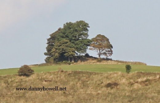
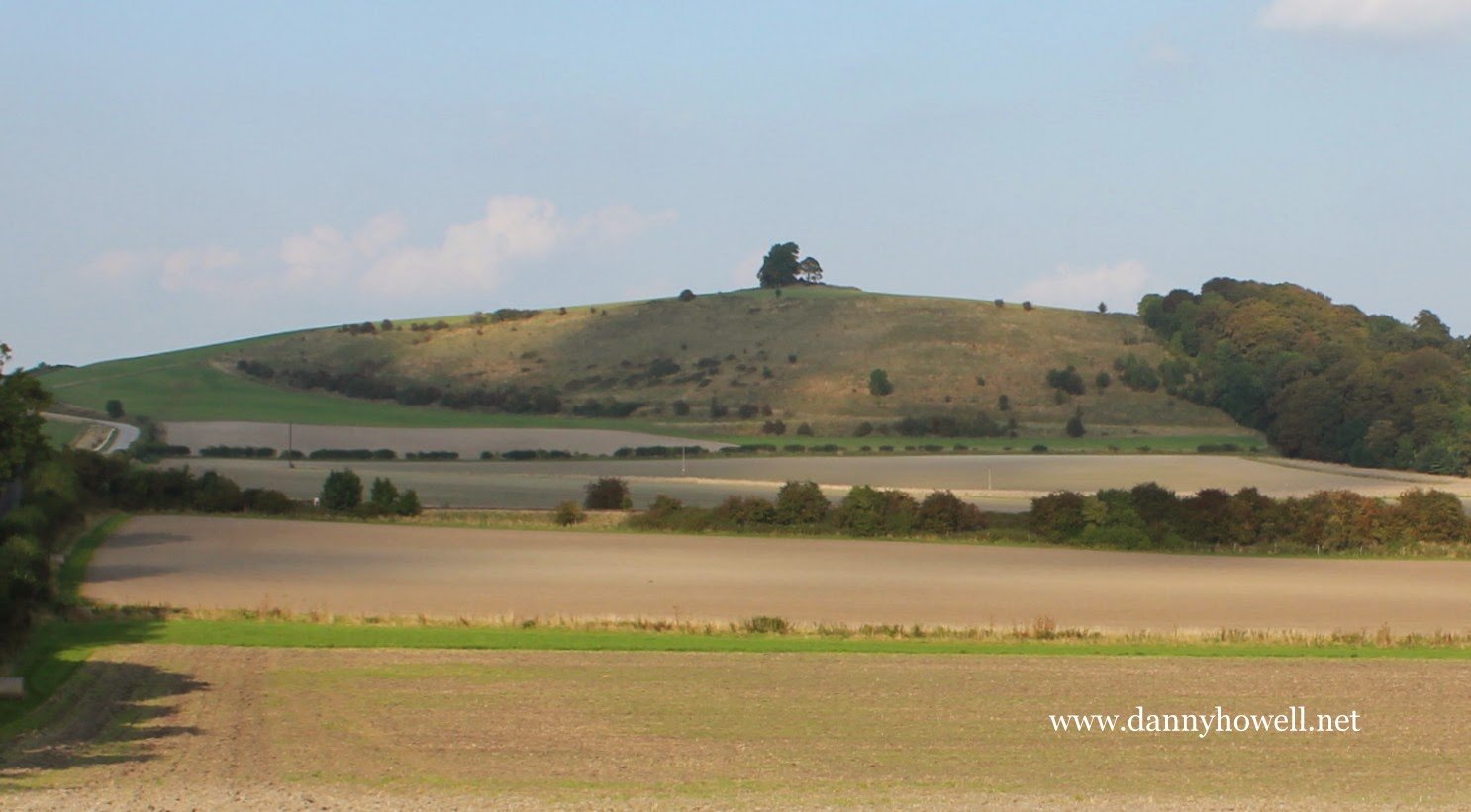
The tree-clad Bronze Age burial mound atop Middle Hill, Bishopstrow. Photograph taken by Danny Howell on Thursday 4th September 2014.
Information and pictures of mostly rural topics and activities.
Thursday 4th September 2014
The tree-clad Bronze Age burial mound atop Middle Hill, Bishopstrow. Photograph taken by Danny Howell on Thursday 4th September 2014.
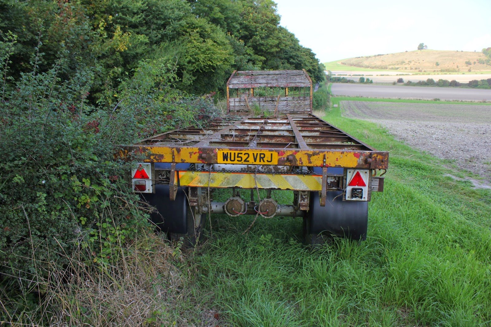
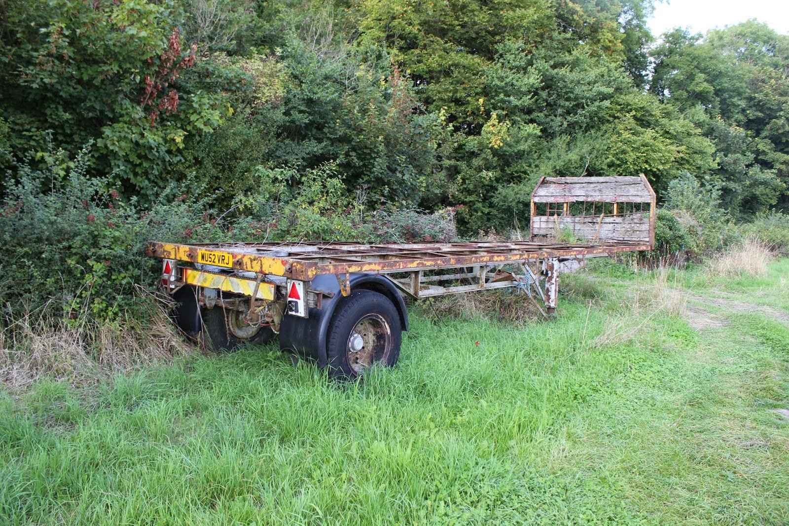
Thursday 4th September 2014
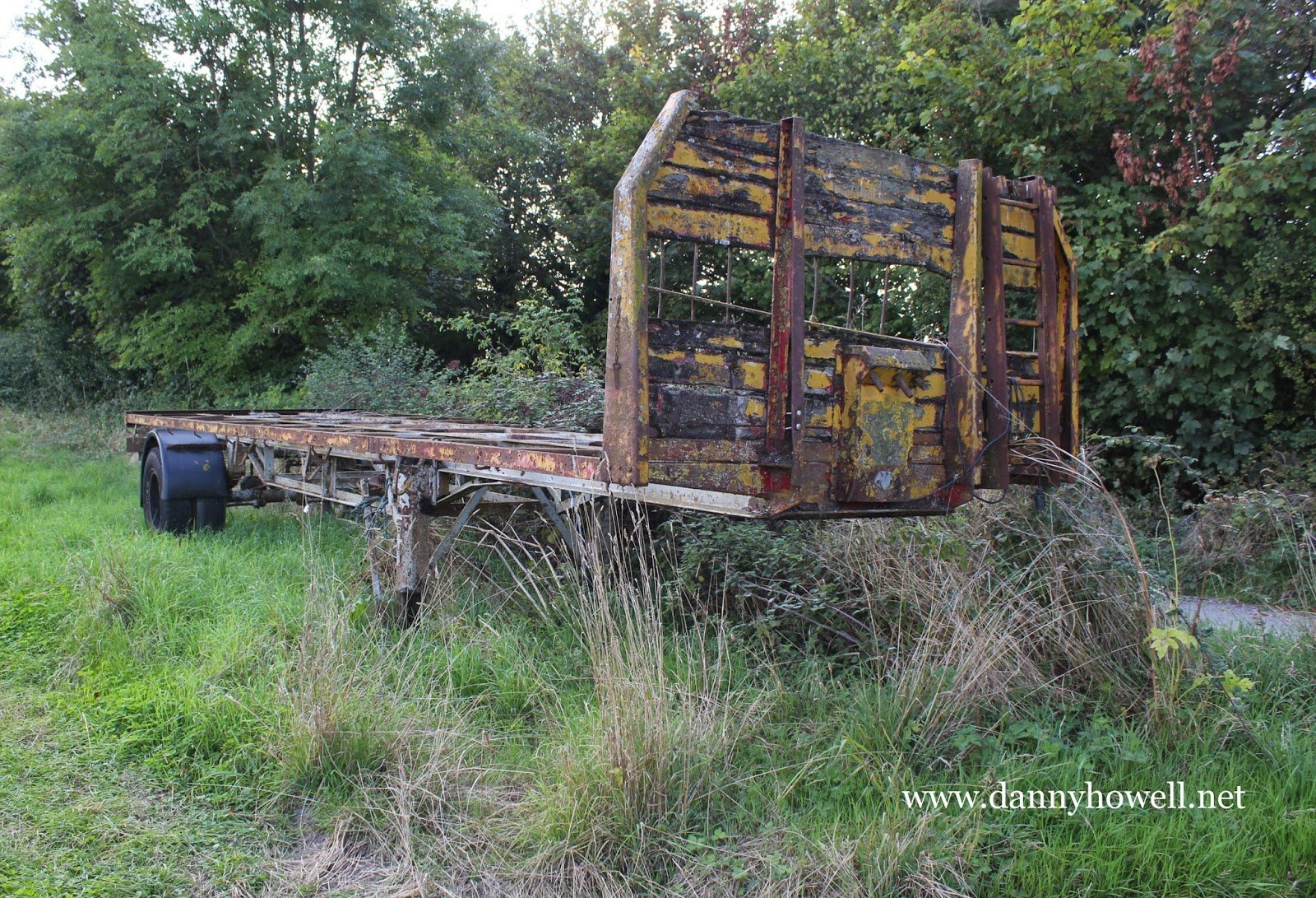
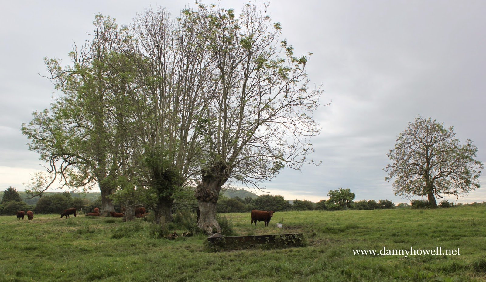
A trailer in the corner of Dairy Field,
Bishopstrow Farm, Bishopstrow.
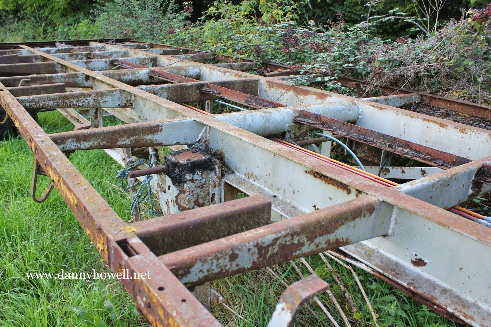
Photographs taken by Danny Howell
on Thursday 4th September 2014.
Thursday 4th September 2014
This photograph, taken by Danny Howell on Thursday 4th September 2014, shows, in the foreground, the western side of Dairy Field at Bishopstrow Farm, adjacent Cox’s Drove and Cox’s Drove Wood (on the left), in the parish of Bishopstrow. The field, used for the last 50 years, mainly for growing cereal crops, is known as Dairy Field, because the dairy of Bishopstrow Farm once stood near its northern edge. The Bourne Ditch (a winterbourne stream) which flows into the River Wylye near Norton Bavant Mill, forms the northern boundary of this field (its course is shown by the green line across the middle of the photograph).
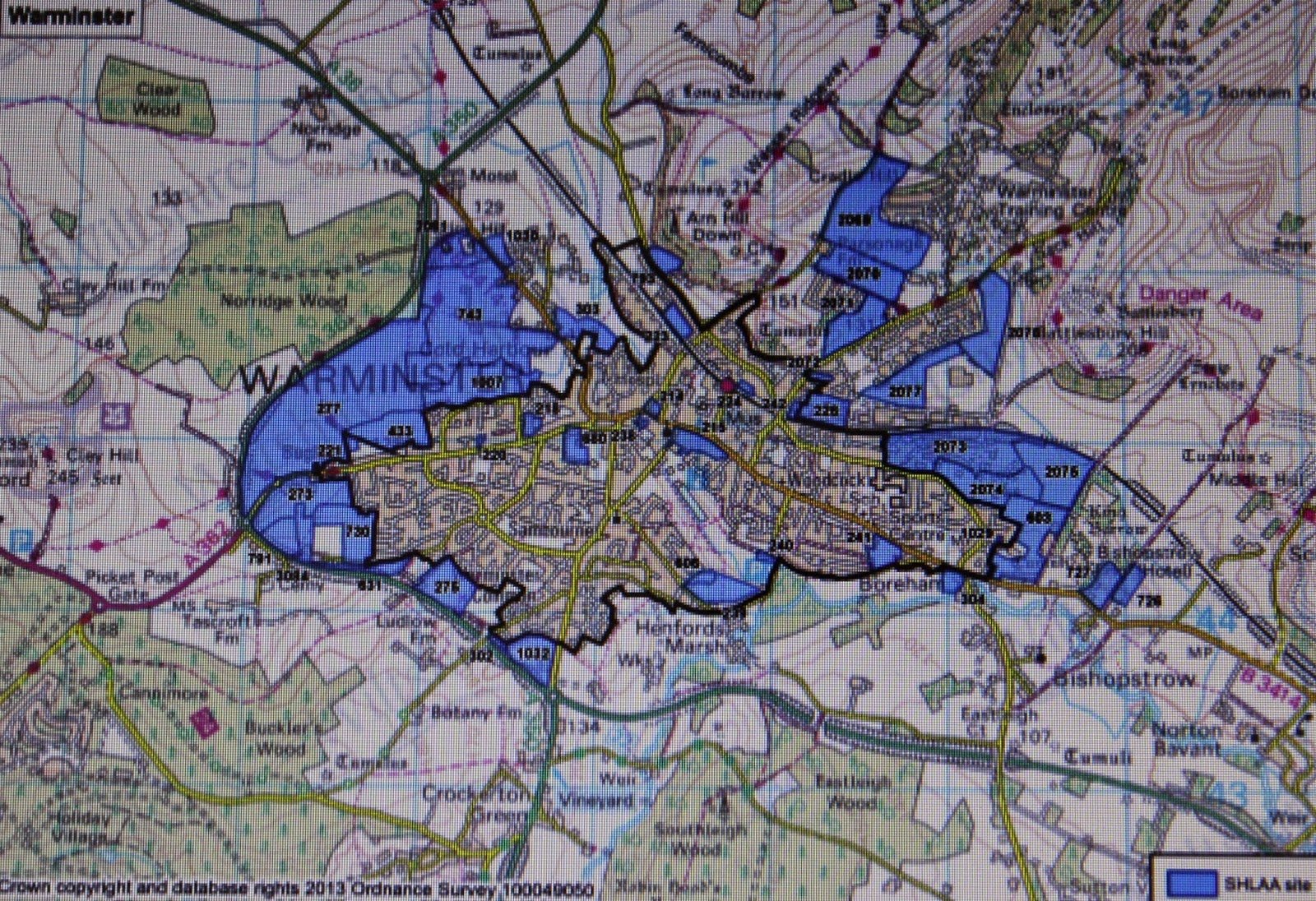
Incredibly, for most local people, but perhaps not surprising for others, is the fact that the area of the field seen here in the foreground is shown coloured blue on the SHLAA map for Warminster, denoting that it is one of the sites submitted for potential residential development as part of the Strategic Housing Land Availability Assessment (SHLAA). This site has the SHLAA number 726. This Assessment provides information on a range of potential housing sites and gives an indication of how dwelling requirements could potentially be met. The evidence is be used to inform the Local Development Framework (LDF) Core Strategy and Site Allocation Development Plan Documents and Neighbourhood Plans. Strategic Housing Land Availability Assessments are expected to be updated as part of the Annual Monitoring Report (AMR) process. These development sites include those for employment or residential use or to provide Gypsy and Traveller pitches. However, only those sites proposed for residential uses will be assessed within the SHLAA.
The SCHLAA Map of potential residential development sites for Warminster is reproduced below ~
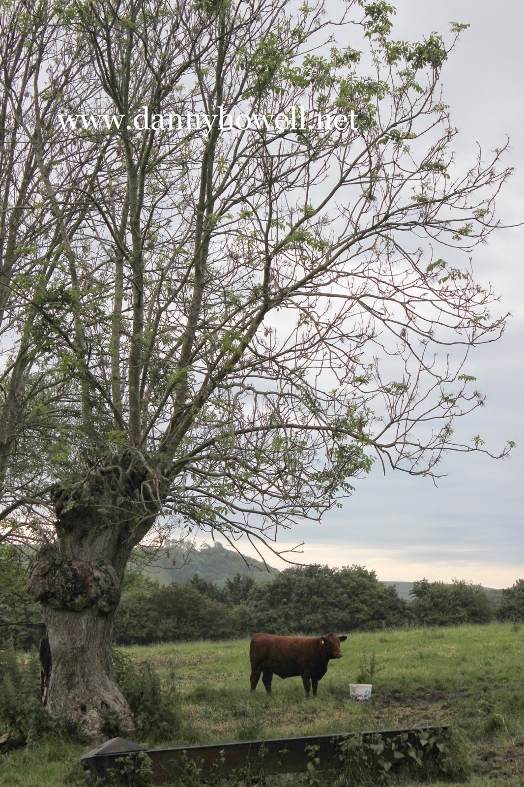
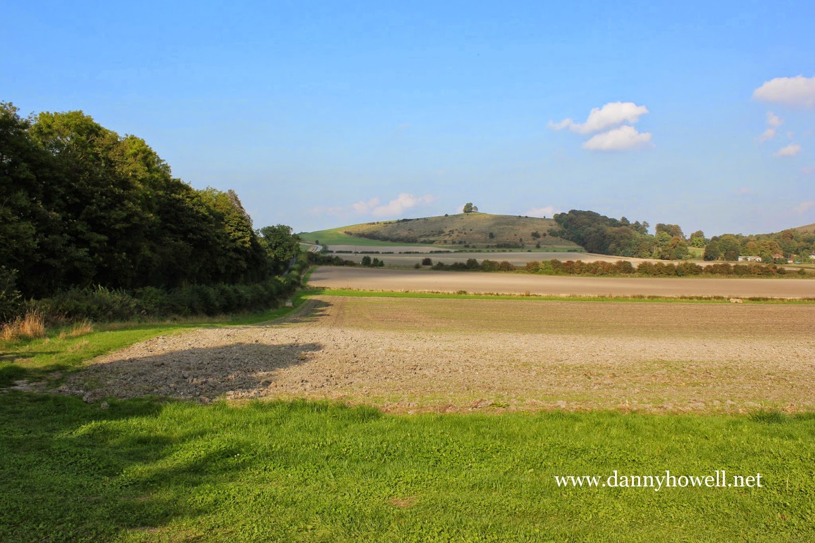
Thursday 4th September 2014
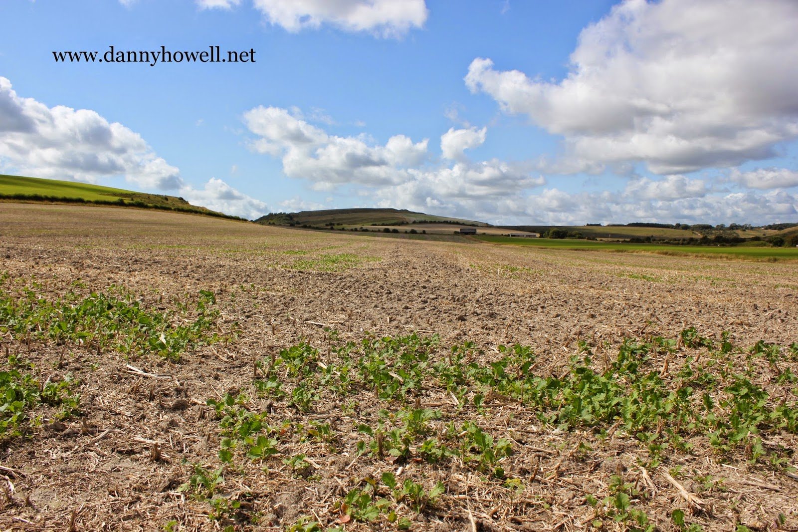
A view of Middle Hill, looking north from
Bishopstrow Farm, across disc-harrowed stubble
in Dairy Field, Railway Close, The Fallow Field
and Peter’s Field. The Bourne Ditch and the Warminster-Salisbury railway line both cross
the photograph which was taken by Danny
Howell on Thursday 4th September 2014.
Friday 29th August 2014
Paul Macdonald writes:
Warminster Town Council at a full meeting of the members which was not open to the public but had ‘invited’ others, have decided that the development line for the town should be extended to include Home Farm and the water meadows up to the river Wylye. I will not attend meetings like this out of principle. The town clerk has now been (improperly in my view) instructed to produce a report based on the discussions at this unconstitutional meeting as the response to the consultation by Wiltshire Council for a review of the settlement line for villages and towns as requested by the Core Strategy Inspector. It is time for EBRAG (the East Boreham Residents Action Group) to come together again.
Friday 29th August 2014
Warminster Town Councillor Paul Macdonald has posted the following comment on the East Boreham Residents Action Group (EBRAG) Facebook page, alerting the community to a rather alarming piece of news ~ that the Town Council are seeking to extend the development boundary to include Home Farm and the lush watermeadows adjacent the River Wylye ~ this has been initiated at a meeting to which the public were not informed or invited.
The proposed extension, controversial to say the least and against the majority wishes of the community, will have huge detrimental effects on the farm land, green lanes and wildlife-rich meadows on the eastern side of Warminster, impacting in a devastating way on the residents, fauna and flora of Boreham and Bishopstrow. Councillor Macdonald accuses the Town Council of acting improperly. He has written:
“Warminster Town Council at a full meeting of the members which was not open to the public but had ‘invited’ others have decided that the development line for the town should be extended to include Home Farm and the water meadows up to the river Wylye. I will not attend meetings like this out of principle. The town clerk has been (in my view) improperly instructed to produce a report based on the discussions at this unconstitutional meeting as the response to the consultation by Wiltshire Council for a review of the settlement line for villages and towns as requested by the Core Strategy Inspector.”
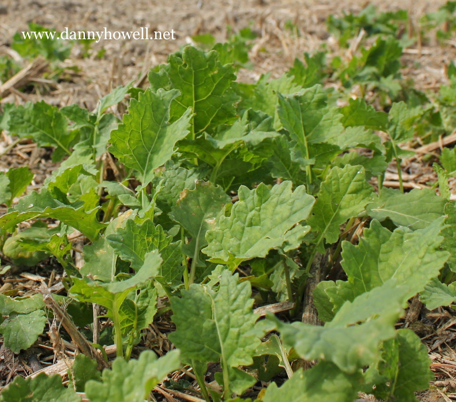
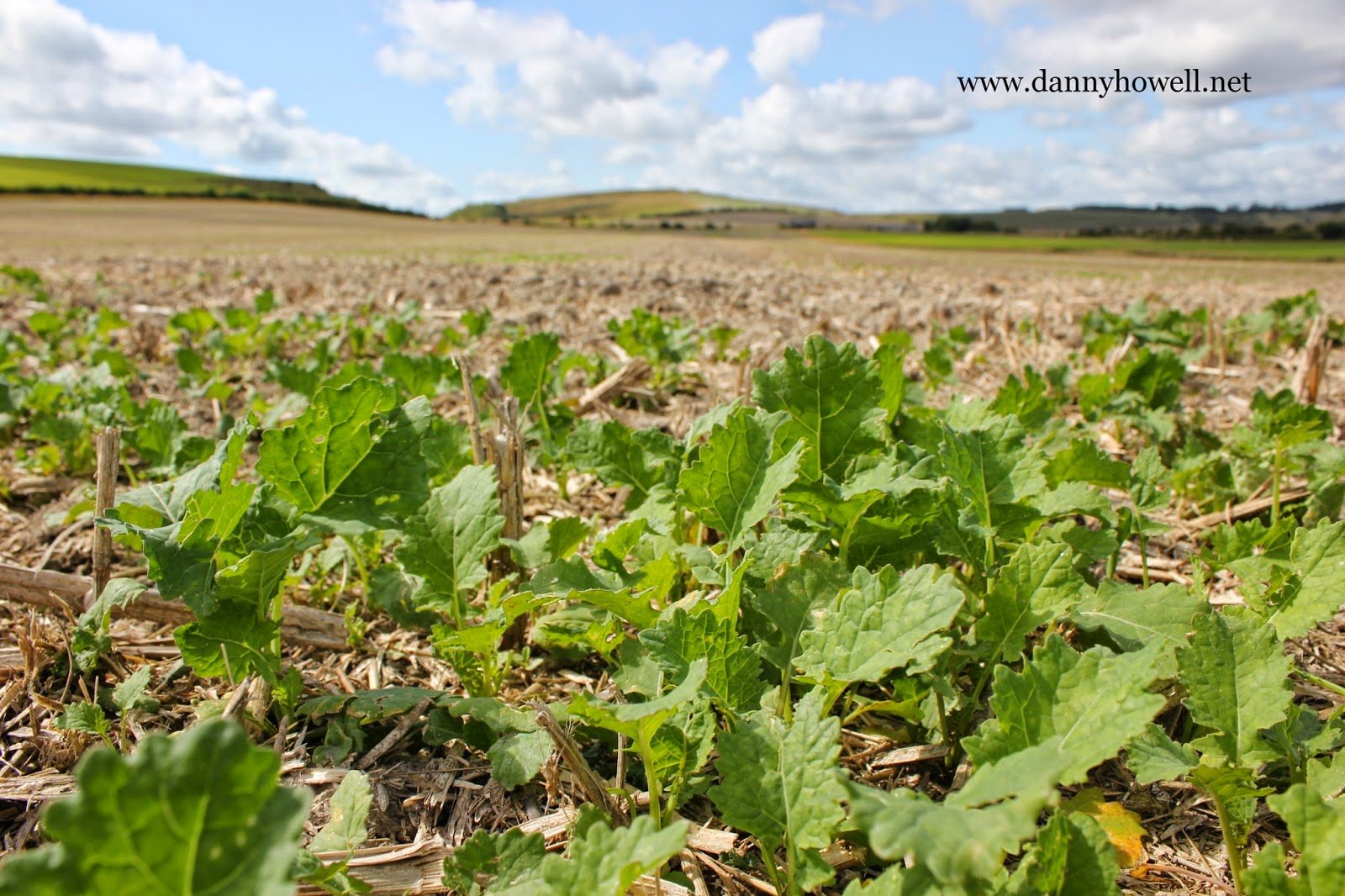
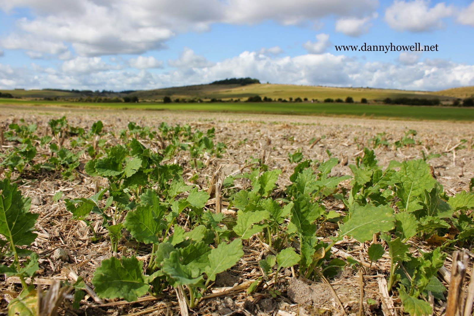
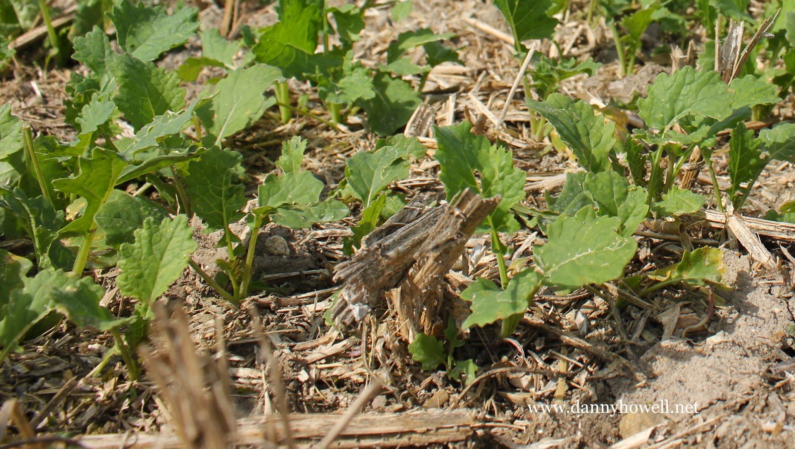
Sunday 17th August 2014
Oil seed rape showing green in the 40 Acres,
behind Middle Hill, at Bishopstrow Farm.
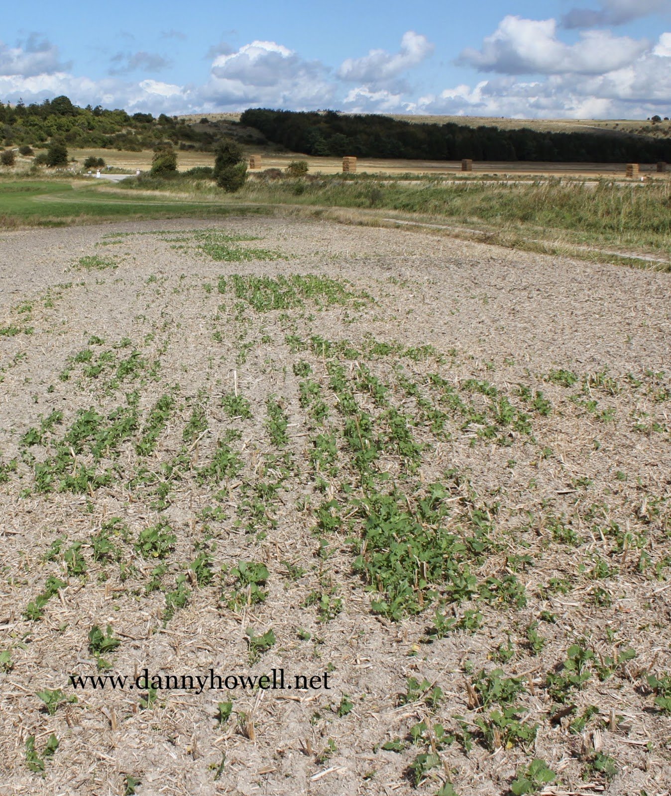
Photographs taken by Danny Howell
on Sunday 17th August 2014.

Thursday 10th July 2014
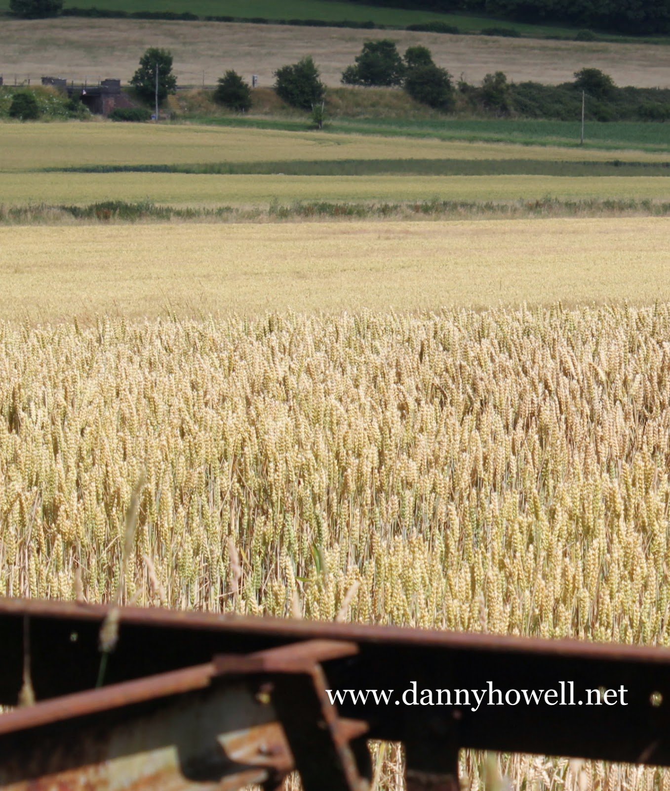
Ripening wheat in Dairy Field
at Bishopstrow Farm, Bishopstrow.
Photograph taken by Danny Howell
on Thursday 10th July 2014.
Monday 16th June 2014
Aerial film of Westbury White Horse, Westbury, by W.J. Media.
Published Monday 16th June 2014.
On youtube, click on:
https://www.youtube.com/watch?v=-g-UFsshIso
Produced by W.J. Media. http://www.wjmedia.co.uk