Five Silver Trophies Awarded To W.B. Cross Of Warminster For Rifle Shooting During The 1930s Are Up For Auction (Est. £250-£300)

Monday 6th April 2015

Five silver trophies with a Warminster connection are among the lots of fine art and antiques in an auction sale by Busby at their Bridport Salerooms at The Old Hemp Store, North Mills, Bridport, Dorset, DT6 3BE, on Thursday 16th April 2015. The auction, which also has online bidding, commences at 11.00 a.m.

Busby describe Lot 39 as “A group of five George V silver trophies . . . . awarded for rifle shooting, to include three Warminster Rifle Club engraved The Presidents Cup for 1931-32, 1933-34 and 1934-35, a British Legion Dorset County engraved Miniature Rifle Shooting Open Sweepstake Presented By Major General Sir R. Pinney K.C.B, and a trophy engraved S.M.R.C “The Sharpshooter” Weymouth 1936, all awarded to W.B. Cross and all on turned plinths, (silver weight 43.6oz). Estimate: 250 GBP – 300 GBP.”

There is a buyer’s premium of 19% and an internet surcharge of 3%.

To see the catalogue listing for the five silver trophies, click here.

For further details about this auction and other auctions at the Busby Bridport Salerooms, contact the auctioneers by email: reports@busby.co.uk or telephone:  01308 420100
website: www.busby.co.uk

Danny Howell writes ~
Wilfred Bryan Cross (1904-1979) was the son of Frederick William Cross (1862-1946) and Florence Eliza Cross, nee Titt (1872-1965) His parents were married in 1898. The Cross family farmed Beechgrove Farm, at Imber Road, Warminster. Bryan Cross had three sisters: Florence Margaret (1898-1986), Phyllis Grace (1903-1986), and Helen Claire (1905-1994).

Westbury White Horse Painted By Eric Ravilious

Tuesday 13th January 2015

Westbury White Horse
painted 1939 by Eric Ravilious
(22 July 1903 – 2 September 1942). 

http://en.wikipedia.org/wiki/Eric_Ravilious

http://www.ericravilious.co.uk/ 

http://jamesrussellontheweb.blogspot.co.uk/2012/06/eric-ravilious-white-horses-of.html

Views Over The Germinated Winter Wheat In The Railway Field At South Farm, Norton Bavant

Sunday 12th October 2014

Germinated winter wheat in the Railway
Field, at South Farm, Norton Bavant, adjacent
the North Farm Road.

Photographs taken by Danny Howell
on Sunday 12th October 2014.

 View through the branches of the
crab apple tree on North Farm Road,
looking west to Bishopstrow Farm.

 View west to Bishopstrow Farm.

View to Arn Hill on the horizon.

 View to Railway Cottages, Bishopstrow.

Cradle Hill and Battlesbury Hill
in the distance.

Views to the B3414 road.

A Redundant Cast Iron Post At Middleton ~ Silent Witness To George Gauntlett’s Sheep And Dairy Cattle Farming Career At Bishopstrow, Middleton And Norton Bavant

Wednesday 1st October 2014

A cast iron post in the corner of a field of Middleton Farm, Norton Bavant (now incorporated into Bishopstrow Farm). The post is near Middleton Railway Bridge, Bishopstrow.

This post is now redundant, as the fields of Middleton Farm and Bishopstrow Farm are mostly unfenced and growing cereal crops (wheat and barley) or fodder crops (hay and maize) as opposed to grazing livestock. Portable electric fencing is used when sheep are occasionally grazed today on the downland in the area.

This post and a few others like it, which survive here and there on Bishopstrow Farm and Middleton Farm are the only real reminders of the time when George Gauntlett kept sheep and dairy cattle in the fields in this neighbourhood.

By 1915 George Gauntlett was farming Middleton Farm and North Farm, Norton Bavant, and also Bishopstrow Farm. He later added Bishopstrow Dairy to his holdings. He spent his entire life as a farmer and became one of the best known agriculturalists in the district, not only running four dairies but also specialising in the breeding of sheep. George Gauntlett died in 1946.

Photographs taken by Danny Howell on Wednesday 1st October 2014.

Two Of The Fields Of Home Farm, Boreham, Warminster, That Could Sadly One Day Become A Residential Estate Of 320 Houses

Thursday 25th September 2014
 

The view south-west from Big Gates, over Barn Field and Ploughed Field (fields of Home Farm, Boreham, Warminster). Soon-to-be-harvested maize is growing here. The hedgerow of Morgan’s Lane can be seen across the centre part of the picture. The Dene, since 1957, the most easterly of Warminster’s residential estates, is in the background of the picture. But The Dene could soon find itself well within the settlement line if the widening of the Warminster Town Boundary (now being debated) is recommended by town councillors and agreed by Wiltshire Council. These fields are just two of the fields which could be changed from farmland to houses if the controversial proposal by Hallam Land Management (the subject of a public consultation in 2012) for the building of 320 houses on Home Farm becomes a planning application that is ever submitted, and duly granted by Wiltshire Council.

Photograph taken by Danny Howell on Thursday 25th September 2014.

The Bowl Barrow East Of Bishopstrow House Hotel

Thursday 4th September 2014

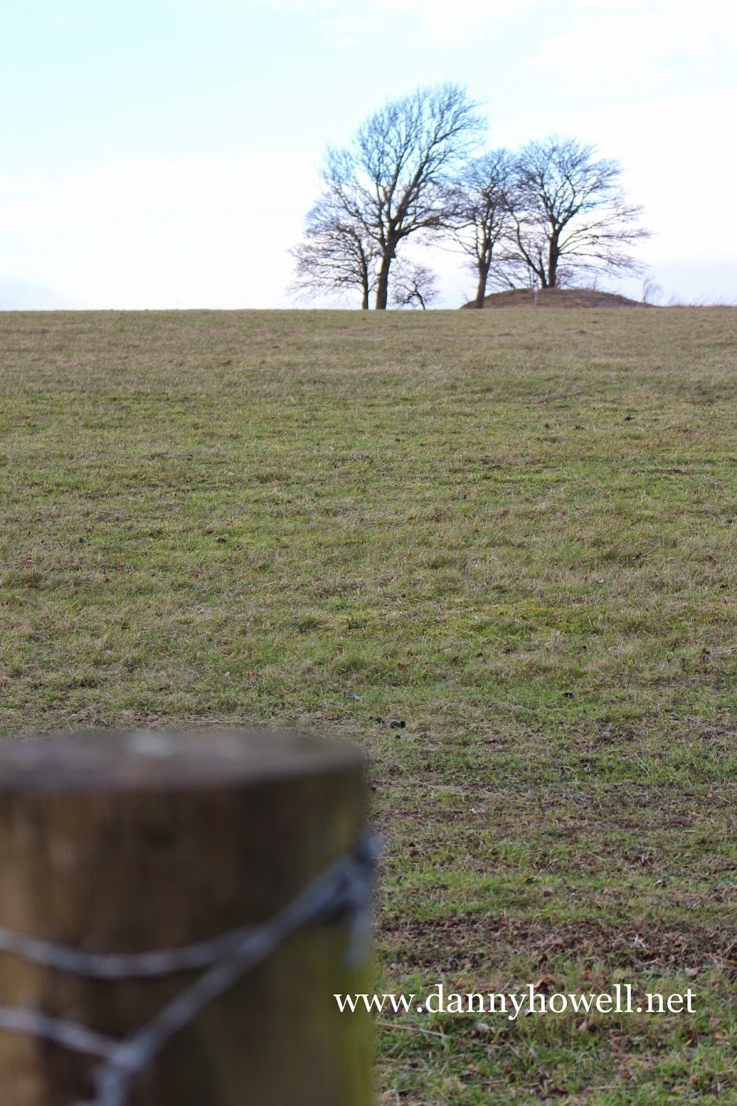
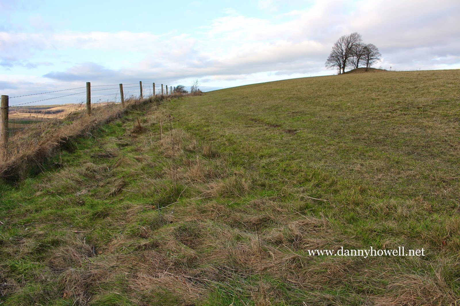
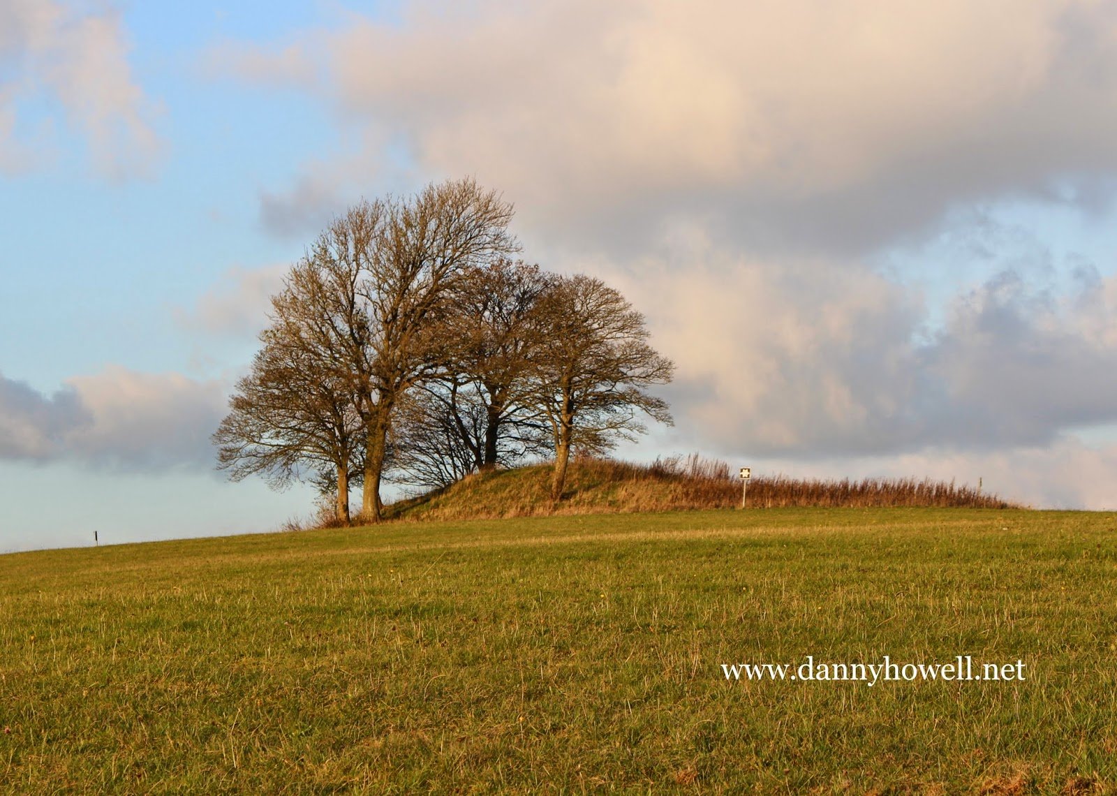
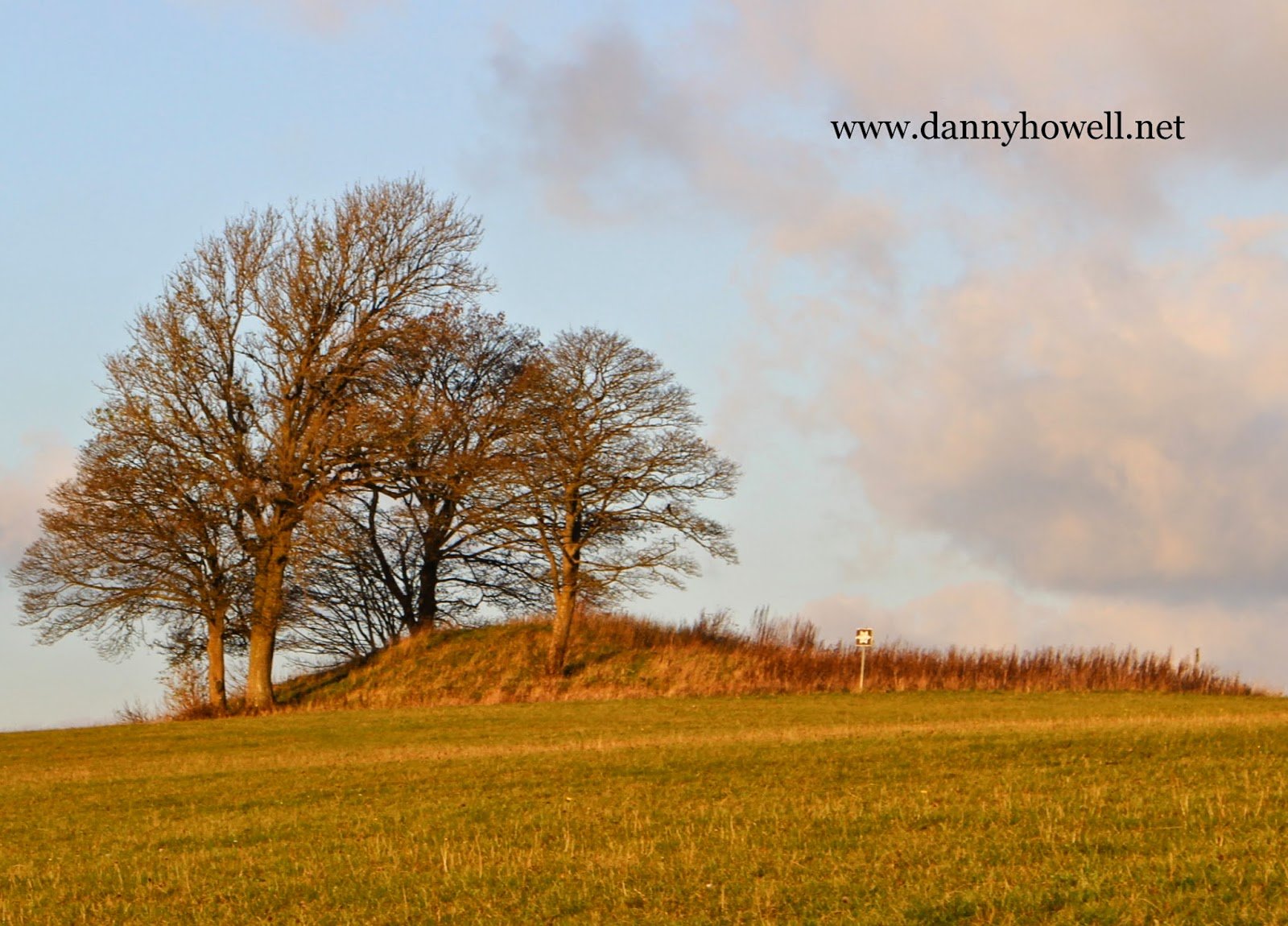
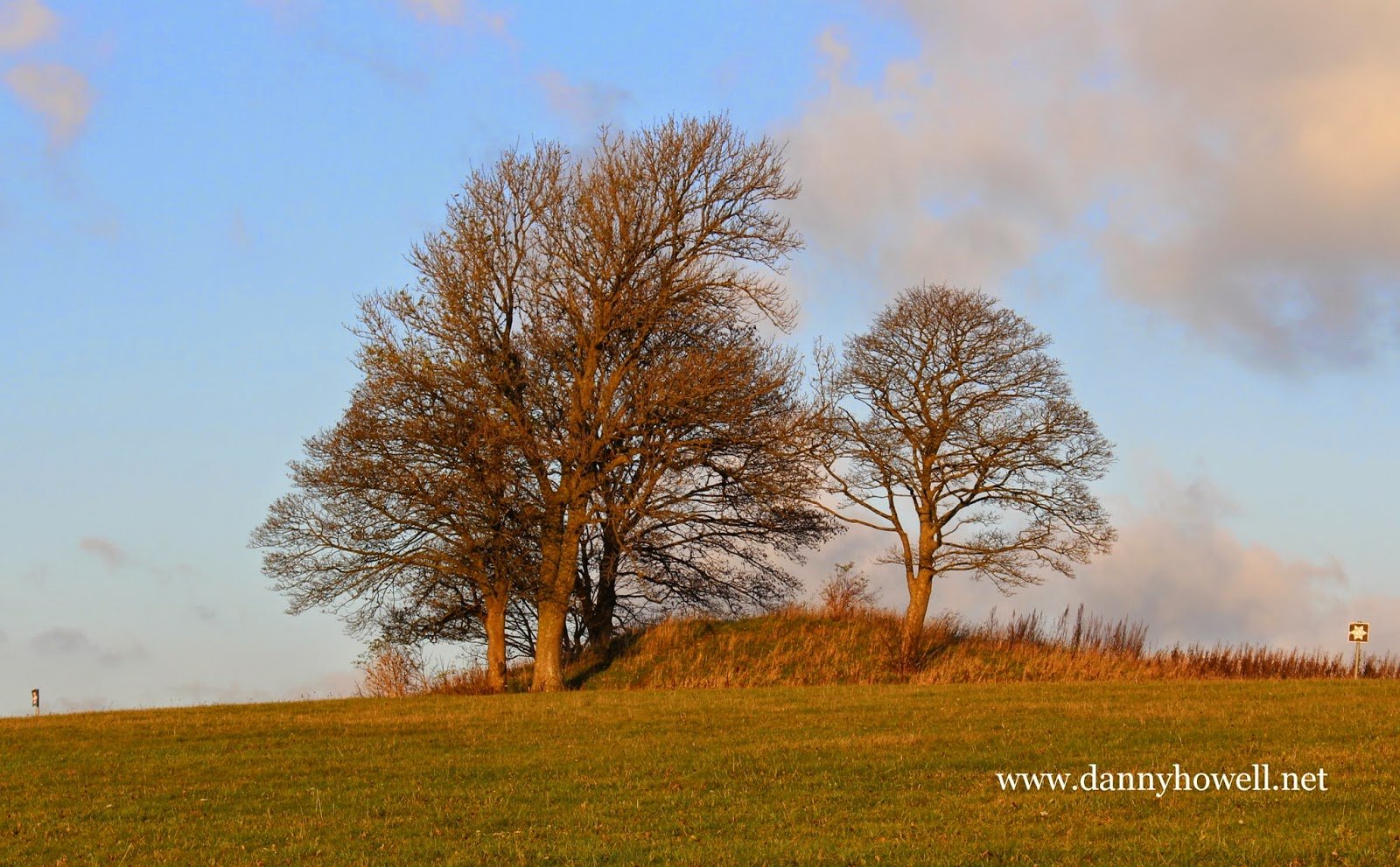
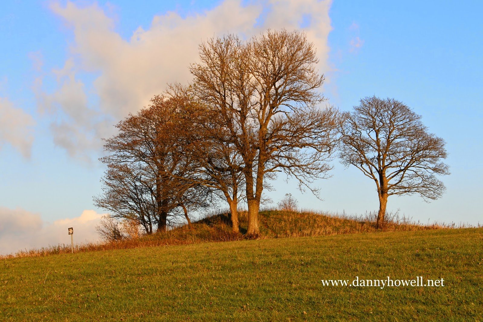
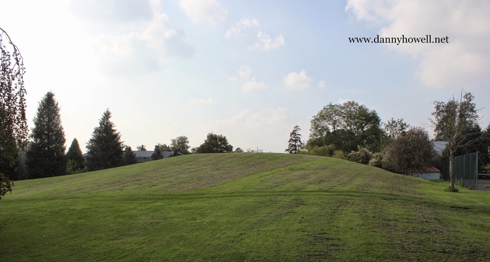
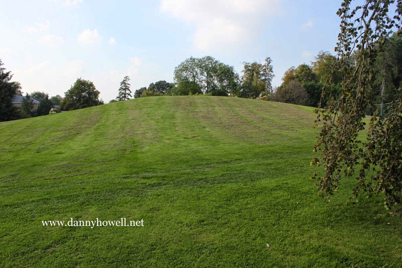
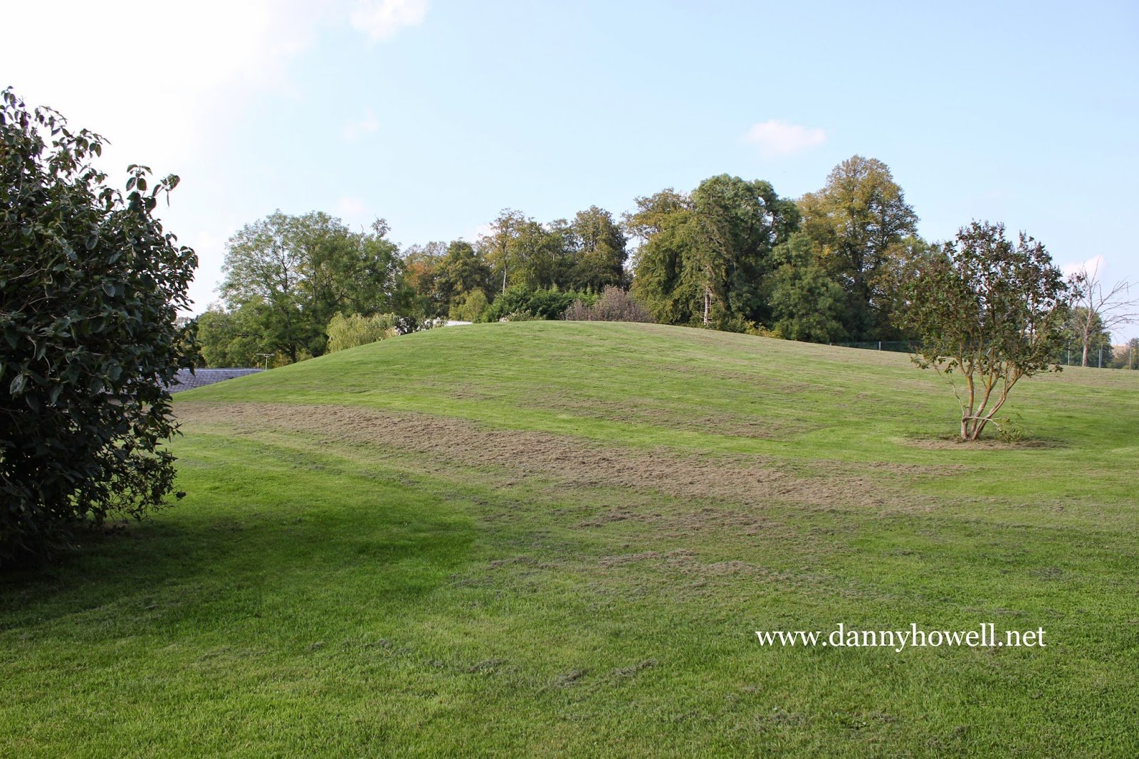
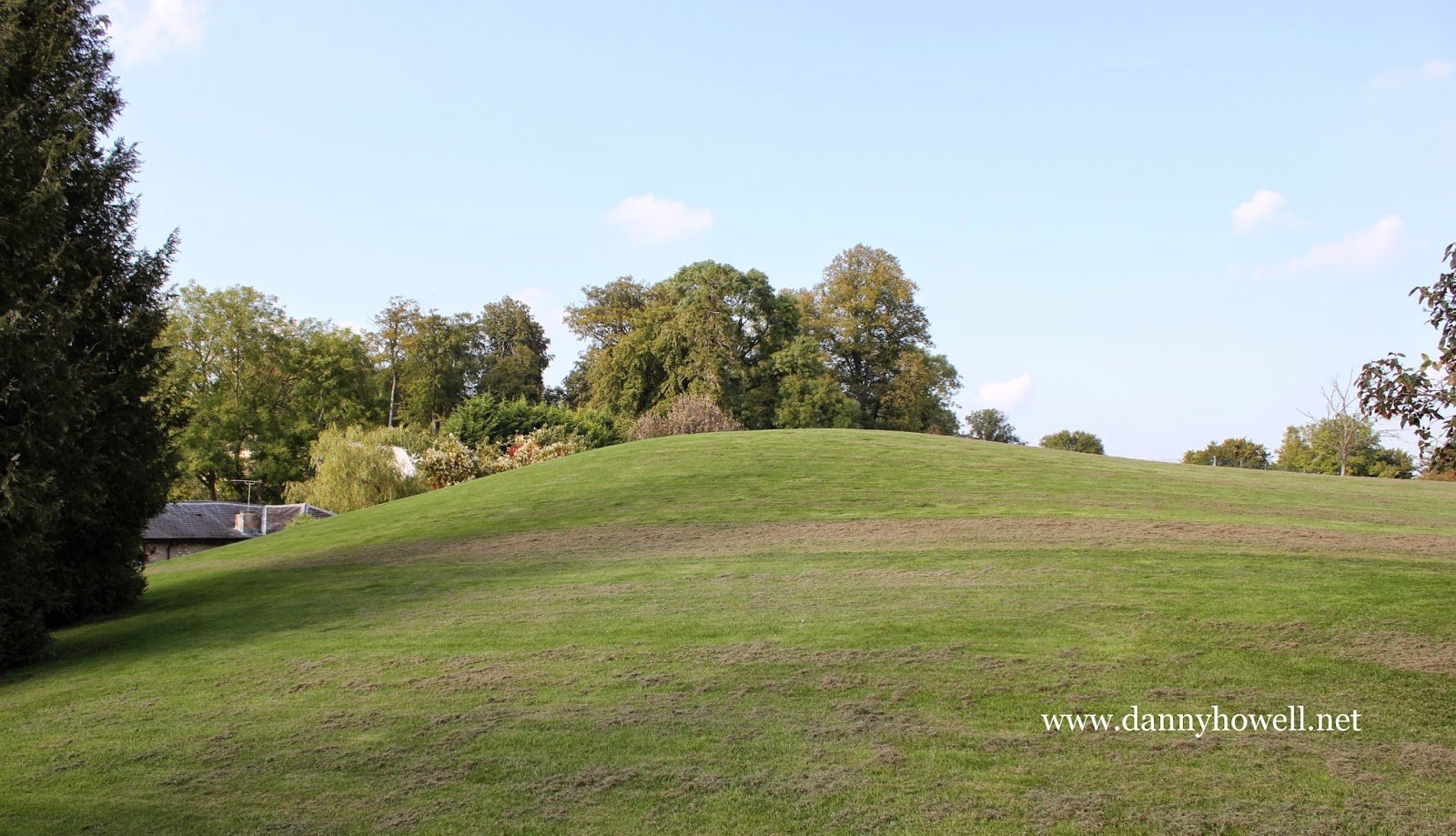
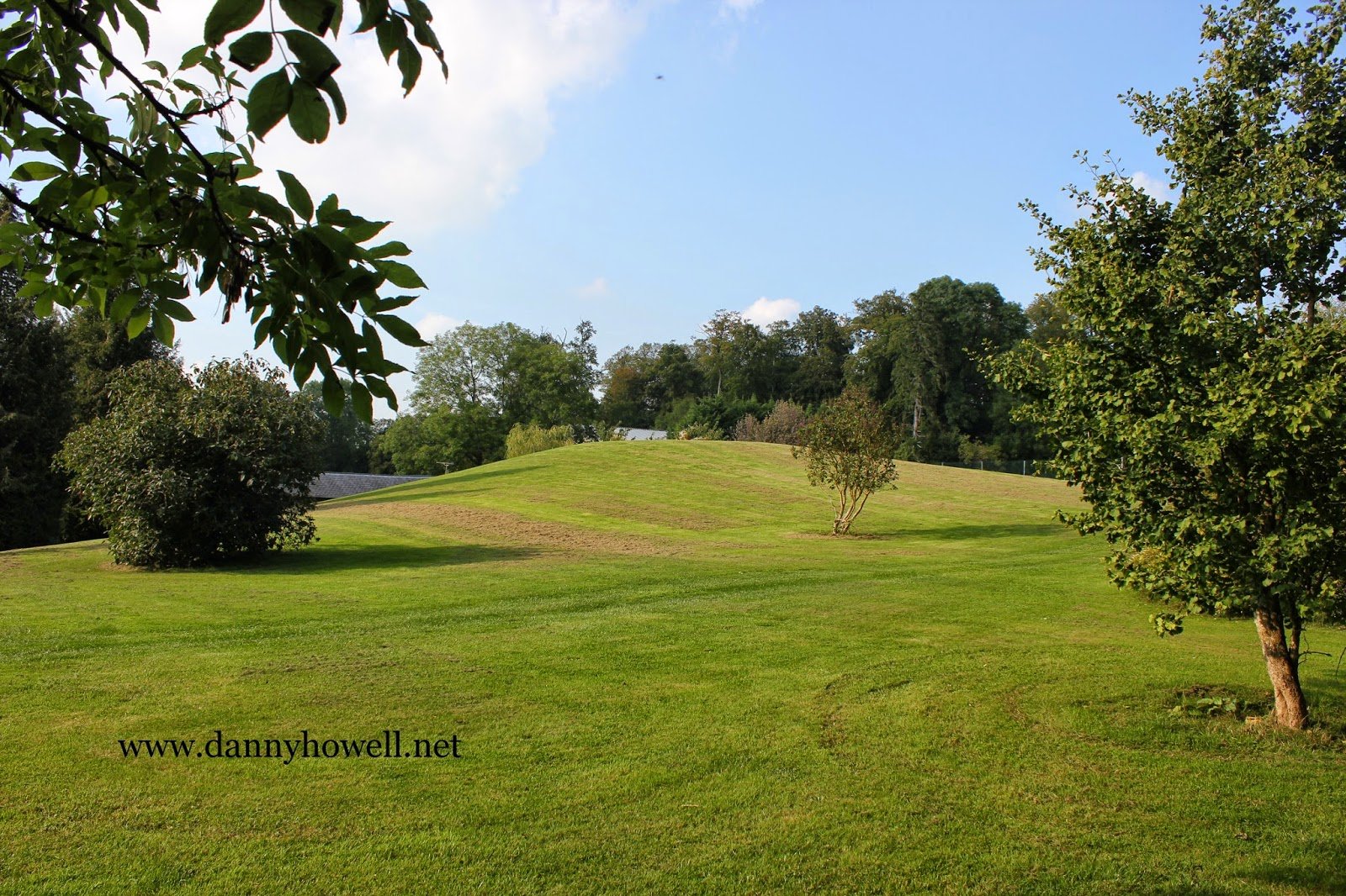
The bowl barrow (a burial mound dating from the Late Neolithic period to the Late Bronze Age, period 2400-1500 BC) which is immediately east of Bishopstrow House Hotel, Bishopstrow.

“There is no record that it has been excavated and it will therefore contain archaeological and environmental evidence relating to the people who built it and the landscape in which they lived.”

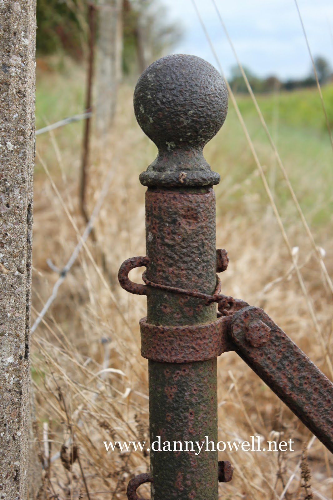
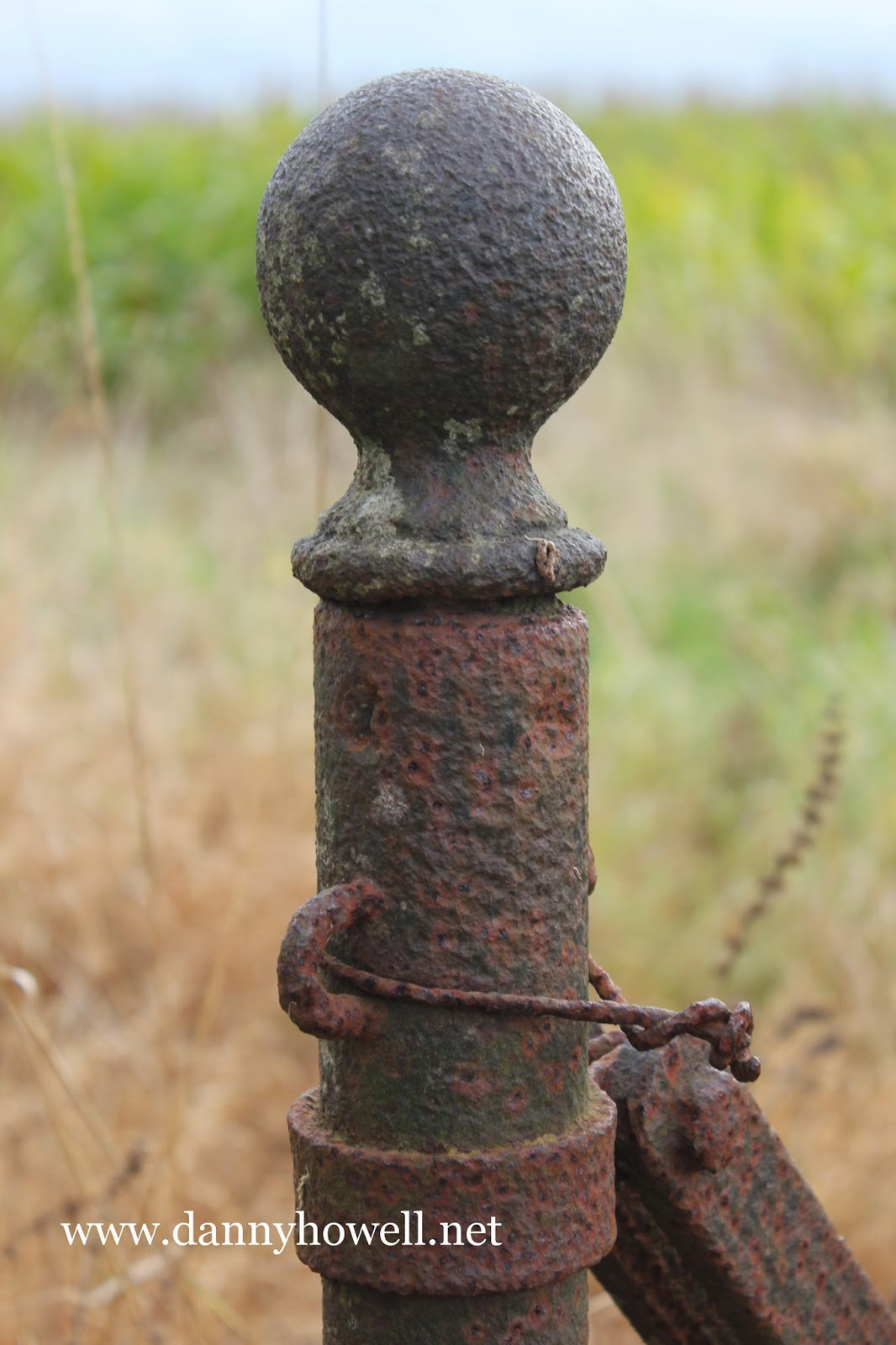
Photographs taken by Danny Howell on Thursday 4th September 2014.
.

Footnote ~

The Legacy Record compiled by English Heritage for the monument portrayed above includes the following notes:

Bowl barrows, the most numerous form of round barrow, are funerary monuments dating from the Late Neolithic period to the Late Bronze Age, with most examples belonging to the period 2400-1500 BC. They were constructed as earthen or rubble mounds, sometimes ditched, which covered single or multiple burials. They occur either in isolation or grouped as cemeteries and often acted as a focus for burials in later periods. Often superficially similar, although differing widely in size, they exhibit regional variations in form and a diversity of burial practices. There are over 10,000 surviving bowl barrows recorded nationally (many more have already been destroyed), occurring across most of lowland Britain. Often occupying prominent locations, they are a major historic element in the modern landscape and their considerable variation of form and longevity as a monument type provide important information on the diversity of beliefs and social organisations amongst early prehistoric communities. They are particularly representative of their period and a substantial proportion of surviving examples are considered worthy of protection.

The bowl barrow immediately east of Bishopstrow House is a particularly large and well-preserved example of this class of monument. There is no record that it has been excavated and it will therefore contain archaeological and environmental evidence relating to the people who built it and the landscape in which they lived.

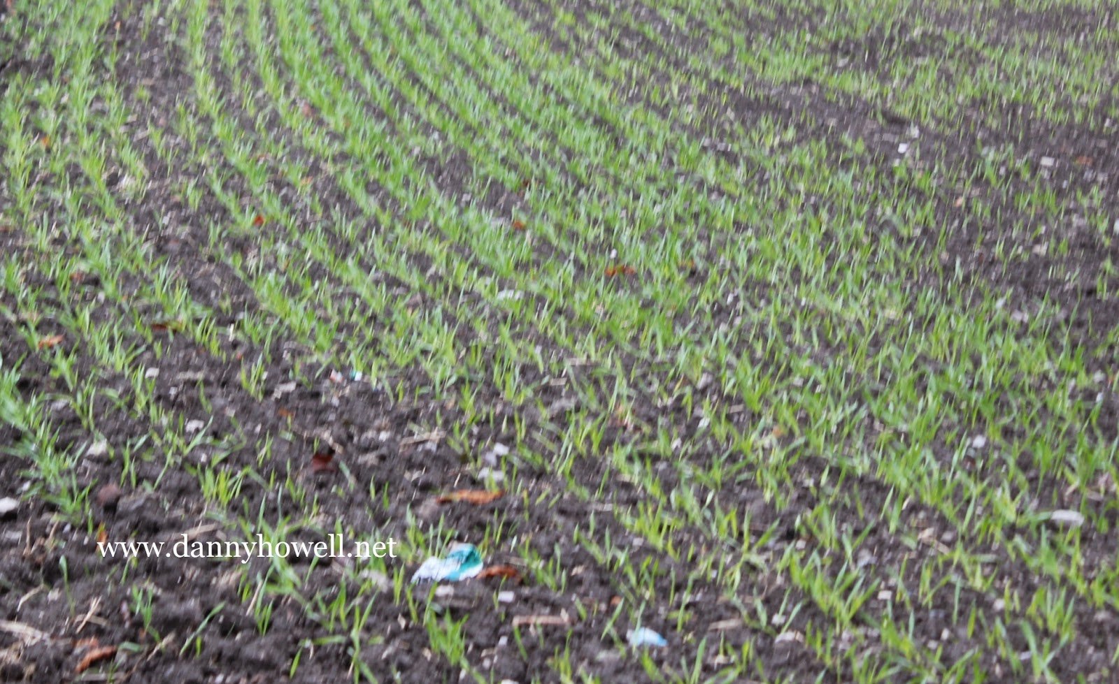
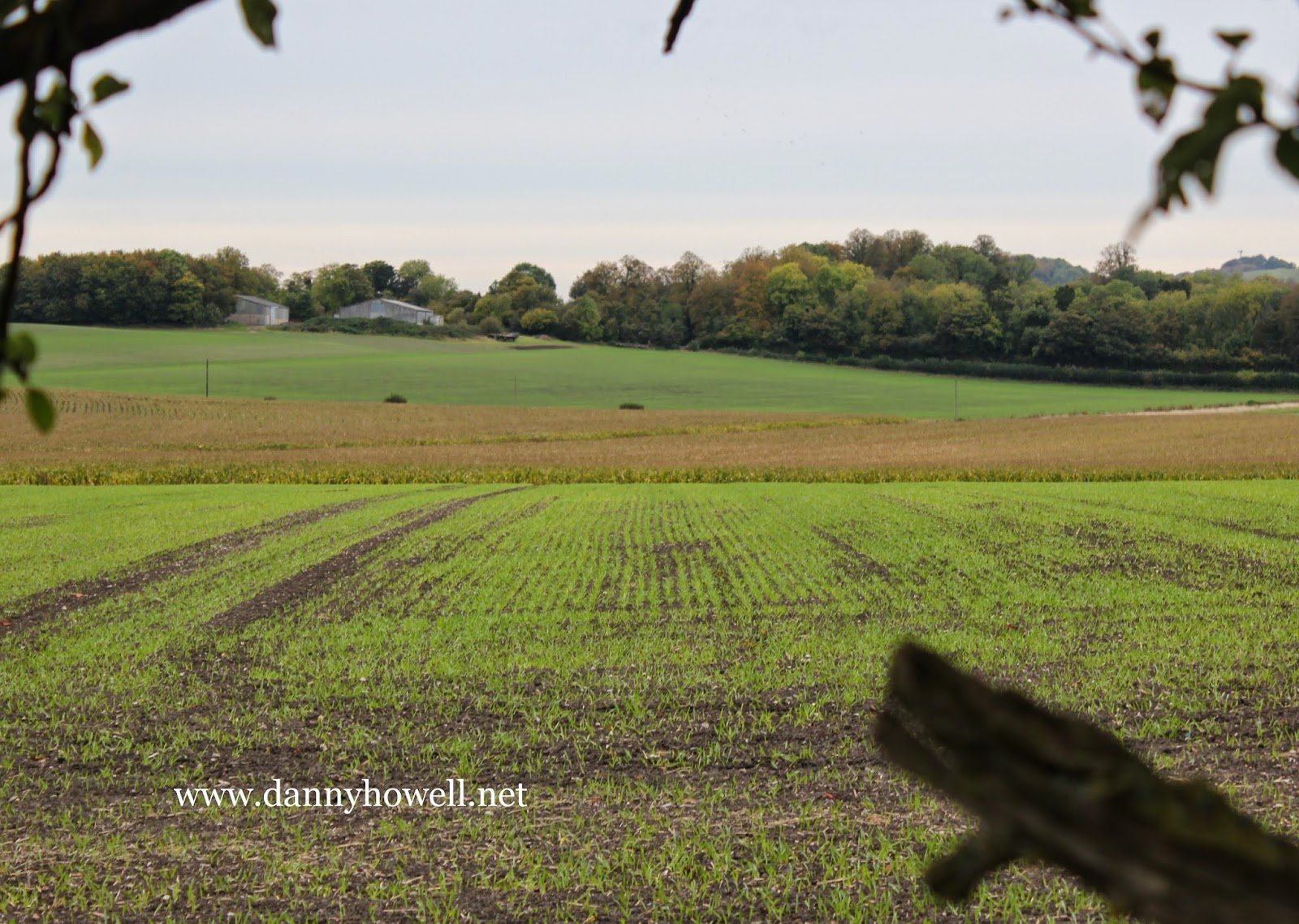
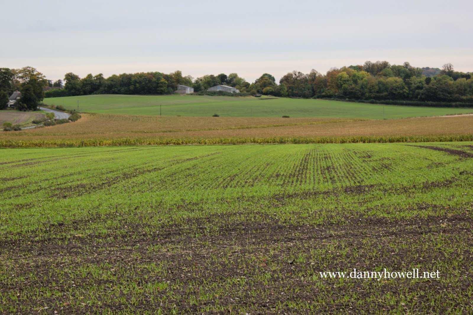
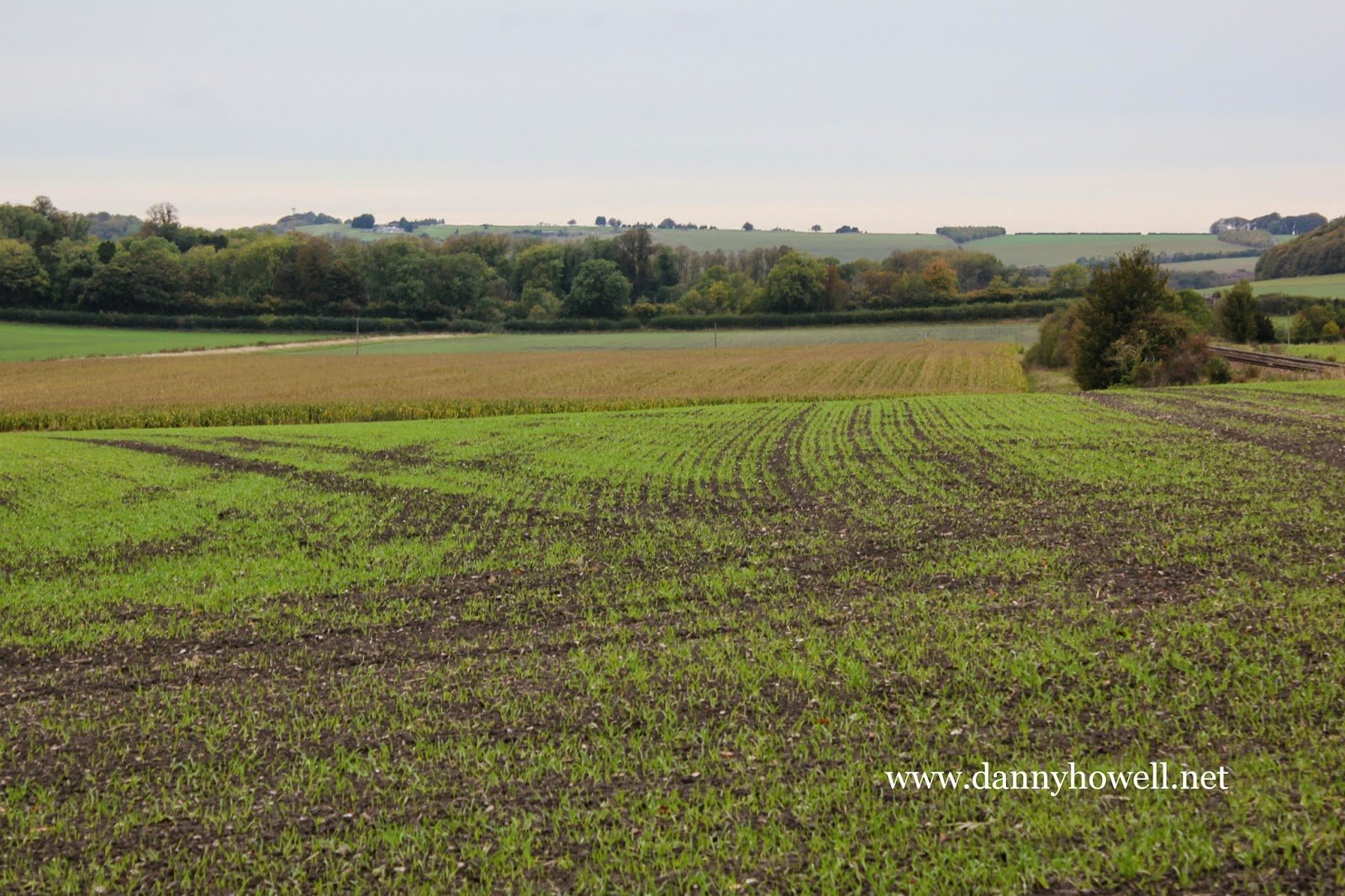
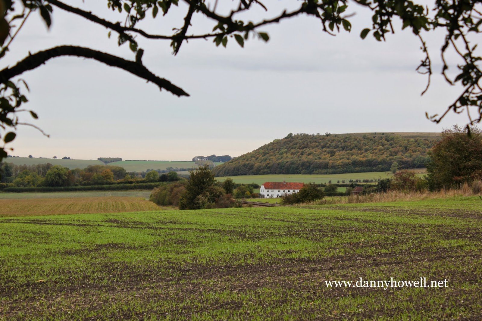
The monument [east of Bishopstrow House] includes a bowl barrow situated on a low lying spur of Lower Chalk which forms the north side of the Wylye valley to the east of Warminster. The barrow is situated on a slight south facing slope running down to the river. The mound is flat-topped and 2.2m high from the north but 4m high from the south. From east to west it is 52m in diameter and from north to south 50m, the lower edge of the mound to the north having been truncated by the building of a tennis court. The flat top is circular with a diameter of 10m. Surrounding the mound is a ditch from which material was quarried during its construction. This has been infilled over the years but survives as a buried feature 3m wide except on the north west side of the mound where it has been destroyed by a modern building. The barrow is depicted by the 18th century antiquarian Sir Richard Colt-Hoare on his map of sites around Warminster. There is no record that the barrow has been excavated. Another bowl barrow and a long barrow to the north are the subject of separate schedulings. The surface of the tennis court and fencing are excluded from the scheduling, although the ground beneath these features is included.

For full details by English Heritage including the location depicted on the Ordnance Survey map, click here.

error: Content is protected !!