
Monday 4th February 2013
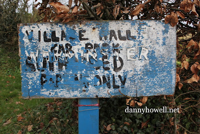
The sign to the Village Hall car park
at Longbridge Deverill:
“Village Hall Car Park, Authorised Parking Only”
Photographs taken by Danny Howell
on Monday 4th February 2013.
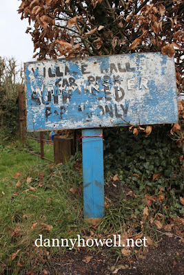
Monday 4th February 2013
The sign to the Village Hall car park
at Longbridge Deverill:
“Village Hall Car Park, Authorised Parking Only”
Photographs taken by Danny Howell
on Monday 4th February 2013.
Monday 4th February 2013
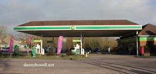
The BP petrol station at Longbridge Deverill.
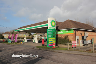
Photographs taken by Danny Howell
on Monday 4th February 2013.
Monday 4th February 2013
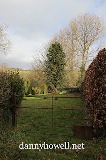
A Chile Pine (monkey puzzle) tree
in a cottage garden between
Longbridge Deverill Church and the Village Hall,
photographed by Danny Howell
on Monday 4th February 2013.
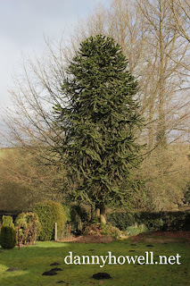
And some mole hills on the lawn.
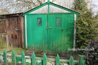
Monday 4th February 2013
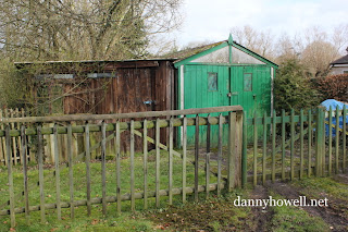
A shed and a lock-up garage,
at Church Lane, Longbridge Deverill,
photographed by Danny Howell
on Monday 4th February 2013.

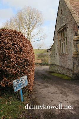
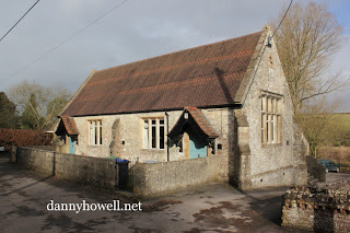
Monday 4th February 2013
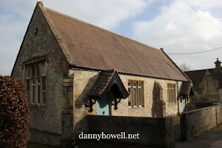
The Village Hall (the former school)
at Longbridge Deverill, photographed by
Danny Howell on Monday 4th February 2013.
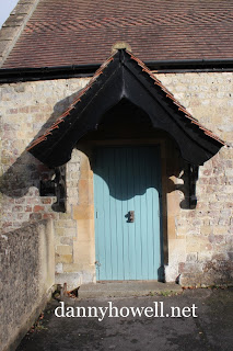
The door at the north-west corner.
Monday 4th February 2013
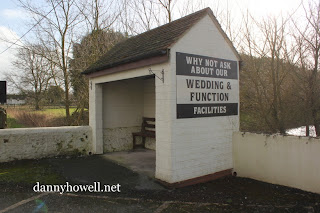
Sign on the bus shelter at Longbridge Deverill,
advertising facilities at the George Inn:
“Why not ask about our Wedding & Function Facilities.”
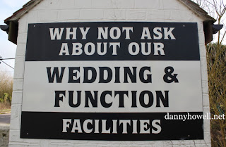
Photographs taken by Danny Howell
on Monday 4th February 2013.
Monday 4th February 2013
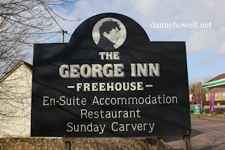
Sign at the George Inn, Longbridge Deverill:
“The George Inn – Freehouse – En-suite Accommodation
Restaurant Sunday Carvery.”
Photograph taken by Danny Howell
on Monday 4th February 2013.
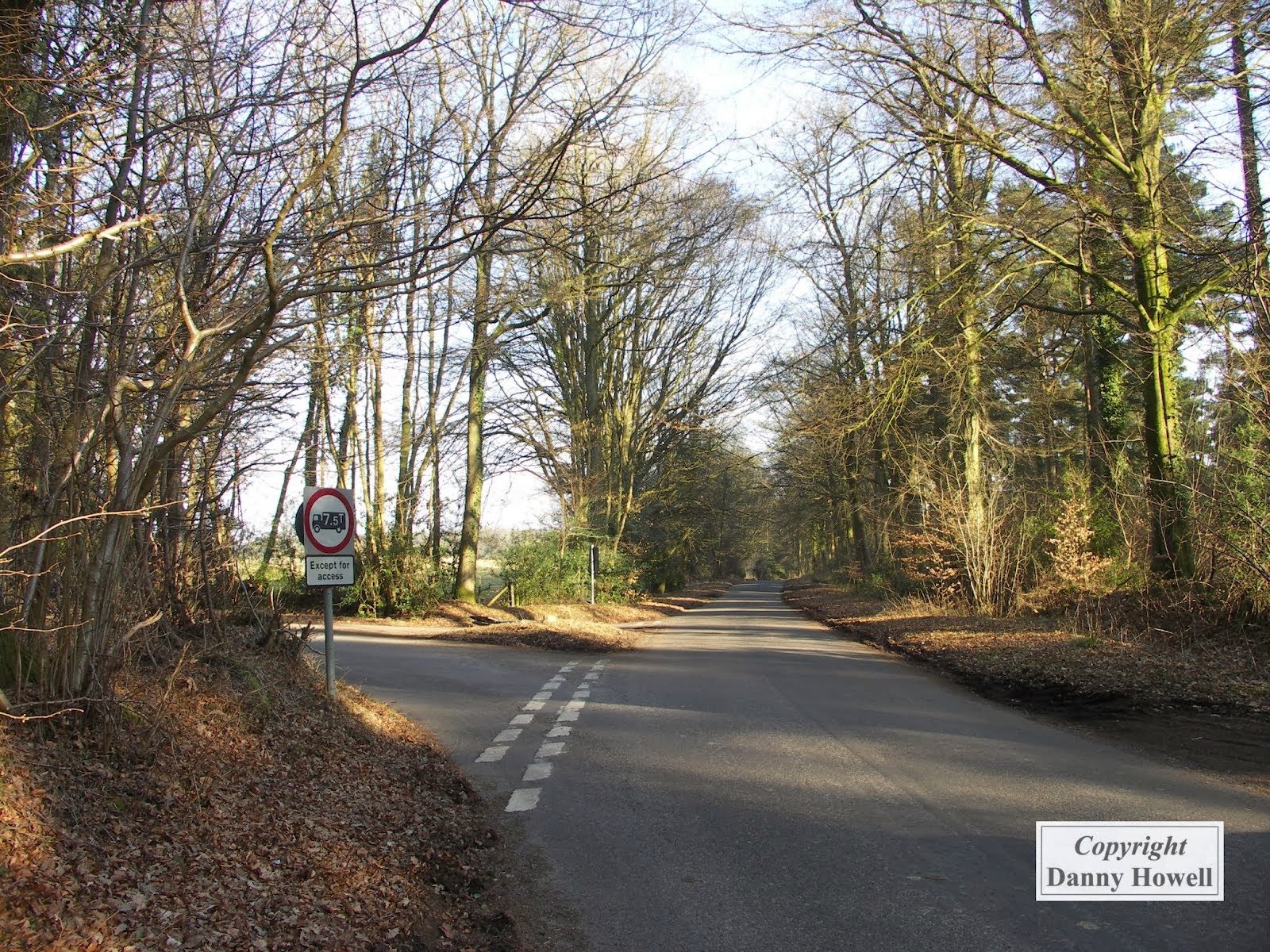
The area around the western end of Bradley Road, Warminster, where it makes a junction with the road that connects Dry Hill, Crockerton, with the Redway Gate, near Crabtree, on the Longleat Estate, is marked on old maps as ‘Ash Oaks’.
This junction is in the parish of Longbridge Deverill.
The view above, showing the junction just mentioned, looks east towards Crockerton, with Bradley Road off to the left.
The photograph was taken by Danny Howell on the afternoon of Friday 5th March 2010.
Wednesday 23rd March 2005
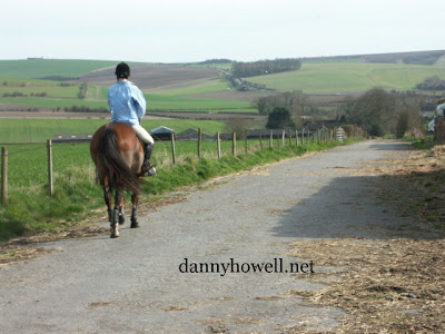
The view south along the roadÂ
that connects Sandhill Farm,
Longbridge Deverill, with Southleigh Woods,Â
photographed by Danny Howell,Â
on the afternoon ofÂ
Wednesday 23rd March 2005.Â
This road dissects the area used in the
First World War as Sandhill Camp.
In the distance can be seen the
A350 Warminster to Shaftesbury road
as it ascends Lord’s Hill.
Wednesday 23rd March 2005
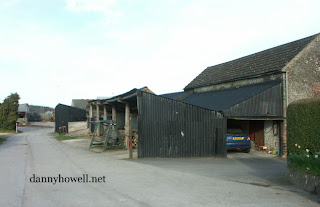
Sandhill Farm, at Longbridge Deverill,
photographed by Danny Howell
on the afternoon of Wednesday 23rd March 2005.