Warminster U3A – Geology

The Warminster U3A Newsletter, May 2019, includes the following report by Frank Lowe:

Geology Group
It was a beautiful winter’s afternoon on our first field trip of the year in January. We went near the confluence of the Rivers Frome and Mells, just north of Frome, to see the marked difference between the characters of the two streams; the Frome being slow, sluggish and muddy, whilst the Mells was fast flowing and clear. We pondered why this should be and how they came to be flowing in the directions they do.

The weather for our February meeting was glorious and we looked at the many sources of the river Frome, starting at Maiden Bradley and then in and around Witham Friary.

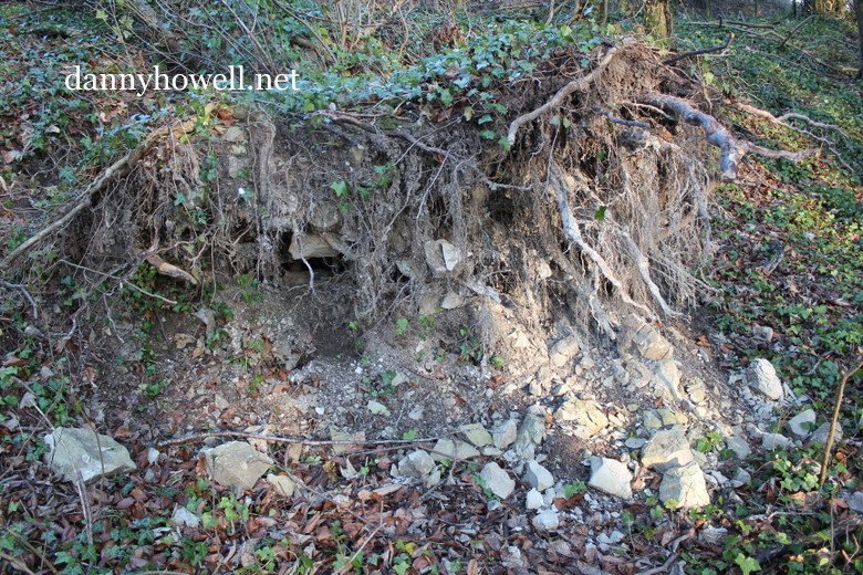
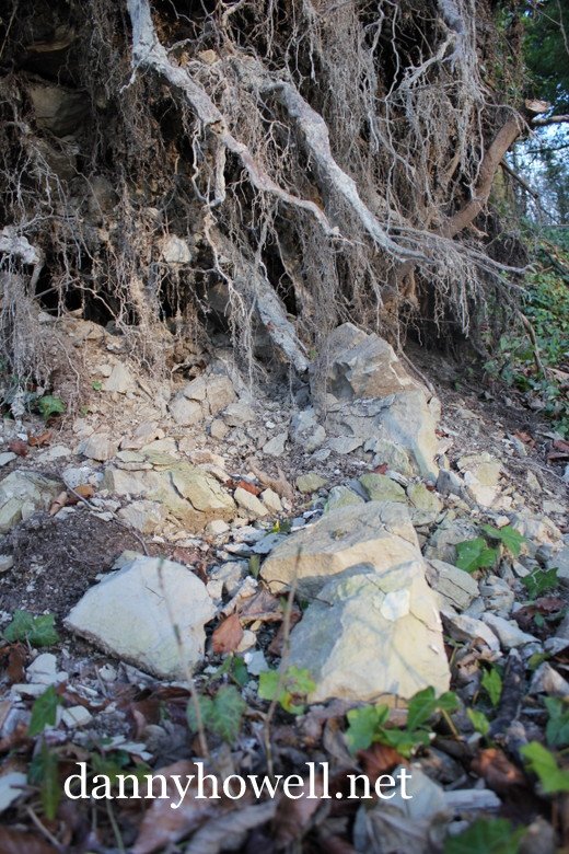
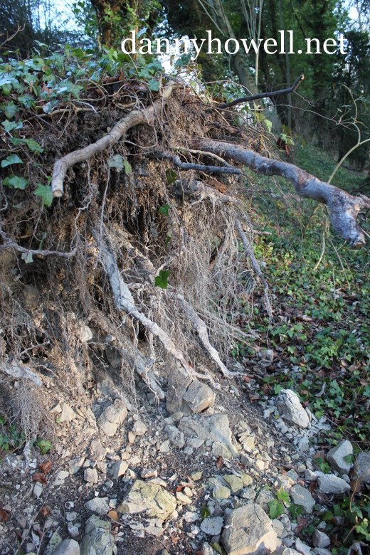
In March we had a full day trip on another lovely day on the Mendip Hills, starting with a general overview of the geology at Beacon Hill. Then we went to the old silver and lead workings at Charterhouse, first mined by the Romans. This was followed by our returning to the recent theme of rivers, considering the various ways in which water flows off the hills, by looking at cave entrances, sinks and rises.

The group is not full, but if you wish to join us you need to be reasonably mobile because all our meetings are in the field, and whilst we do not usually walk any great distances we often find ourselves walking over rough ground or scrambling up and down steep slopes or over large rocks, sometimes inelegantly on our backsides!

West Wiltshire District Council’s Warminster Town Centre Conservation Area Character Assessmen ~ Location And Topography

West Wiltshire District Council’s Warminster Town Centre Conservation Area Character Assessment, Informative Document, Consultation Draft/Cabinet Draft, of December 2006, includes the following notes:

Location And Topography
Warminster is one of the five market towns within the district. Located in the south west of the district on the western edge of Salisbury Plain, Warminster is within the upper reaches of the River Wylye where the River Were joins it. It is well contained within a rural location, which is attractive and gives the town a sense of isolation, particularly since the construction of the by-pass (the A36). The A350 (M4 to Poole) and the A36 Bristol to Southampton roads meet just to the west of Warminster.

Map 2 illustrates the town’s context.

The steeply rising landscape to the north-east and east of the town of Salisbury Plain gives the perception of it being in a valley, though, the surrounding landscape levels out to the south and west. The topography within the town centre is relatively flat, affording a number of attractive views of the surrounding landscape.

Directly to the north and west of the town are wooded scarps of the Plain, which present a backdrop to the town, known as Arn Hill and Cop Heap. This attractive setting for the town has a strong presence within the centre with views northbound along routes such as Portway and Station Road showing open fields and green woodland. This gives the town a rural feel.

The River Were runs to the north west of the town centre, creating a number of water meadows adjacent to Warminster School’s playing fields, and the Minster Church before entering the town from the north. It passes underneath the town centre and emerges south of the town centre, in the Lake Pleasure Park, between the town centre and Warminster Common. Further south the River Were joins the River Wylye.

In terms of geology the main part of the historic town centre lies on greensand although there are some pockets of chalk underneath the town. The scarp slopes of the Plain are also formed on large expanses of chalkland.

A36 Warminster Bypass ~ Soil Descriptions

Tuesday 1st May 1990:

The Warminster Bypass – Soil Descriptions

Three basic types of soil were encountered along the Warminster Bypass, and these are described below (Gault Clay is also present in the vicinity of the River Wylye, but was only encountered during piling for bridge foundations):-

Chalk
Chalk was encountered in the earthworks for the two western cuttings (Norridge Wood and Barton) and in Norton Cut. It was also present at Hazel Underpass, Sutton and Cotley Hill Bridges. The chalk is described as highly to moderately weathered, light greyish-brown, clayey, weak to moderately weak, becoming with depth slightly weathered (occasionally fresh) clayey moderately weak to moderately strong. Highly weathered chalk comprises fragments within a firm silty clay matrix.

Greensand
The Greensand is a silty, frequently very silty, sometimes clayey or very clayey, fine and medium sand, occasionally cemented to a weak to moderately weak sandstone. Bands of fractured, very strong chert and sandstone occur within the upper parts of the greensand beds, whilst very weak siltstone occurs in the lower parts. The clayey parts of the greensand appear random and occasionally occur in pockets; soft silty clay layers sometimes occur in thin (less than 0.5m thick) layers below chert bands.

Head/Alluvial Deposits
Head deposits are principally found overlying areas of chalk, where they comprise firm to stiff clays with flint and chalk gravel. Head deposits are also to be found on the floors and sides of valleys, although in these cases they are similar to the underlying greensand (though looser and possibly more segregated) and are less discernible.

Alluvial deposits comprise very soft to firm organic, occasionally peaty, silty clays, and are to be found mainly at the river crossings, the floor of the Cannimore Valley, and to the north of the Bypass in Buffage Wood. 

Background Information
The rocks over which the Warminster Bypass runs are of two main types: the Upper Greensand and the overlying Lower Chalk. These sediments were laid down in a sea that covered much of northern Europe about 90 million years ago, and they contain the fossilised remnants of animals that lived in those waters.

Upper (Younger)                                       Middle Chalk

Cretaceous   Lower Chalk (inc. Warminster beds)

_______________________

Lower (Older)                                       Upper Greensand

Cretaceous                                                       Gault Clay

During the course of building the Bypass, some of these fossil remains have been unearthed.

First published in Warminster & District Archive magazine, No.4, published Tuesday 1st May 1990. Archive gratefully acknowledges the co-operation and assistance of Scott Wilson Kirkpatrick & Partners (Consulting Engineers to the Warminster Bypass) in the preparation of this article.

The Geology Of Warminster

From The Warminster Official Guide And Souvenir 1928 (penned by Victor Strode Manley):

Geology. Cley Hill, at an elevation of over 800 feet, indicates the position of the dome formed when the sea bed rose as dry land, a resulting crack weathering away into the Wylye Valley, with its streams from this hill and the Deverill Valley going to swell the Avon at Salisbury. The tilt of the land sends the Whitbourn streams from the hill in the opposite direction, flowing into the Bath Avon. Not less than 1,000 feet of rocks have been denuded from above the site occupied by the Minster. All the local downs are of chalk averaging 650 feet, the town being built on a terrace of greensand at 400 feet above sea level, and the Shearwater Valley provides an outcrop of gault clay for brickmaking.

The Fossils Of The Warminster Greensand By A.J. Jukes-Browne, 1896

The Geological Magazine, Volume 3, Issue 6, published June 1896, includes on pages 261 to 273 an article The Fossils Of The Warminster Greensand by A.J. Jukes-Browne.

The fossils of the Upper Greensand of Warminster have long been known to collectors and geologists on account of their number, variety, and excellent state of preservation; but little information has ever been published regarding the beds which yield them. Collections of the fossils are to be seen in most of the museums of the country, and the fauna represented by these collections has often been regarded as the typical fauna of the English Upper Greensand. This, however, is a mistake, for where fully developed, as in Wiltshire, the Upper Greensand includes two faunas which differ considerably from one another—(1) that of the malmstone and micaceous sand (Devizes Beds), (2) that of the greensands and chert beds (Warminster Beds).

https://www.cambridge.org/core/journals/geological-magazine/article/abs/vithe-fossils-of-the-warminster-greensand1/0F026BF9837A0213AAED3A1534EDBFF6