
Friday 23rd March 2018
Posted by James Saunders on youtube, 23rd March 2018.
Two Iron Age Hillforts in Wiltshire, and attempts to discover why one was abandoned in favour of the other.
Friday 23rd March 2018
Posted by James Saunders on youtube, 23rd March 2018.
Two Iron Age Hillforts in Wiltshire, and attempts to discover why one was abandoned in favour of the other.
Monday 6th November 2017
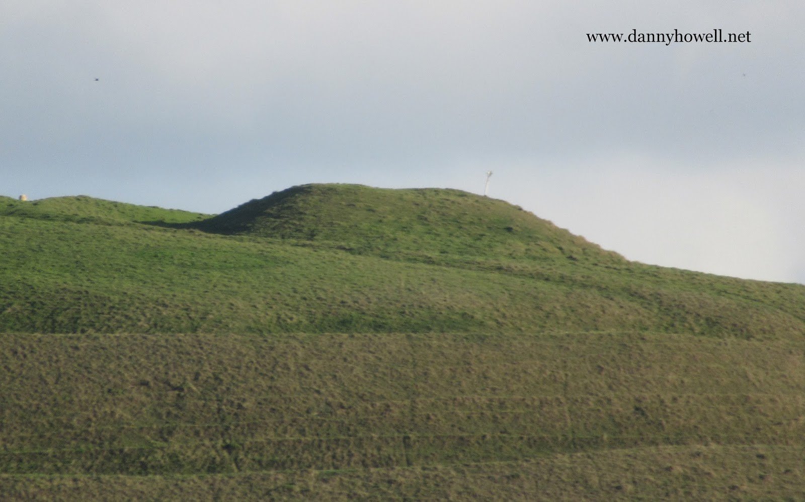
The burial mound and ramparts on
the south side of Scratchbury Hill,
Norton Bavant.
Photograph taken by Danny Howell
on Monday 6th November 2017.
Monday 27th March 2017
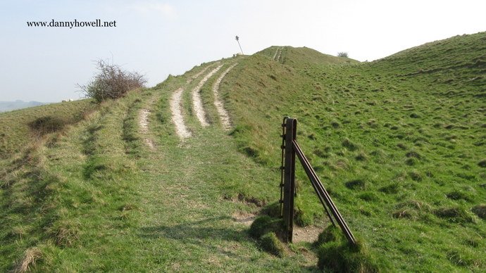
Along the ramparts at the north-east corner
of Scratchbury Hill, Norton Bavant.
Photographs taken by Danny Howell
on Monday 27th March 2017.
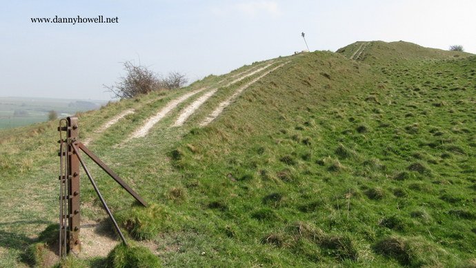
Sunday 17th February 2013

The ancient ditch that forms part of an enclosure on Scratchbury Hill, Norton Bavant, as seen from the eastern rampart. The view looks toward the burial mound on the southern crest of the hill. Photograph taken by Danny Howell on Sunday 17th February 2013.
Sunday 17th February 2013
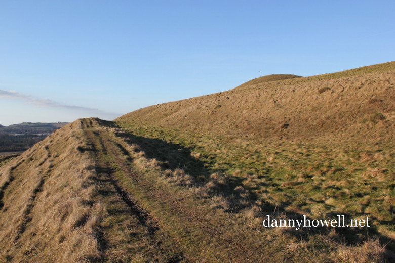
The view west from the top rampart on the southern side of Scratchbury Hill, Norton Bavant, showing the round barrow on the southern crest of Scratchbury. Photograph taken by Danny Howell on Sunday 17th February 2013.
An Iron Age hill fort with traces of an earlier enclosure, in the parish of Norton Bavant, near Warminster.
Some notes compiled by Danny Howell in 1990:
Scratchbury (the name is probably derived from Scratch – an old West Country word for the Devil, and burh – meaning an ancient camp) has a bank and ditch enclosing 37 acres and includes several burial mounds or tumuli.
Two barrows lie inside the north eastern part and one of these covered a cremation burial. A bowl barrow in the south west part which was excavated by Colt Hoare produced no burial, only animal bones and several burnt stones. A fourth barrow, less than a metre high, in the centre of the hill at the highest point, covered a cremation with a small bronze dagger and a pin of the same metal, as well as a large amber ring and 50 amber beads. These finds are now in Devizes Museum.
William Cobbett (1762 – 1835) referred to Scratchbury and Middle Hill as Roman camps; the earthworks of Scratchbury include a Romano-British (or maybe later) ditch running from east to west but archaeologists have dated Scratchbury to be a predominantly Iron Age hill fort. The Romans were once nearby though as discovery of the sites of two Roman villas at Pitmeads, between Sutton Veny and Norton Bavant, about two miles away, proves.
Immediately east of Scratchbury is Cotley, another hill with extensive earthworks and a number of barrow mounds, notably two visible on the skyline.
From Hillforts Of The Wylye And Avon Valleys, by the Hillfort Study Group, Salisbury, April 1984:
ST 911442
This fine univallate hill fort is situated on the north side of the Wylye valley overlooking the river just downstream from Battlesbury.
The site is multi-period, though details of the different phases are not yet clear. The earliest known features on the site are five round barrows, three at least of which have been excavated. Recognised since 1812 (Colt Hoare) has been the enclosure in the centre of the subsequent hillfort, which looks D-shaped on account of its butting up against a bank which subdivides the fort. O.G.S. Crawford thought that this earlier enclosure might be a Neolithic causewayed camp, but excavations in 1957 showed it to be earlier Iron Age.
Air photographs seem to show a crop mark continuing the circle to the south-east of the linear bank, so that it seems likely to have been originally near circular. The linear bank which seems to have cut across this enclosure runs south-west to north-east and appears to be overlain by the main hillfort earthwork at the north-east entrance, as well as disappearing under the rampart at the south-west corner. It has been suggested that this may have been the original line decided for the hillfort rampart, and that there was subsequently a change of plan; this could only be shown if excavation were to prove the chronology to be suitable. Whatever the answer, the main hillfort rampart postdates the linear bank, and consists of a single bank and ditch with counterscarp enclosing over 15 hectares.
There are three entrances, in the north-west, north-east and south-east, none of them apparently of great complexity, though the overlapping, passage-style of that in the north-east contrasts with the more direct entry afforded by the other two entrances.
Signs of the quarry ditch are visible in the south-east, while small depressions at the north-west may represent hut sites or pits. Following all this activity a bank cuts off a small section of the southern part of the fort, and presumably dates to the Romano-British period or later.
Stray finds from the fort recorded by Colt Hoare include a jade axe, a ground flint axe and “British and Roman pottery’. A Roman bronze spoon was found in 1804. Trial excavations in 1957 yielded Iron Age pottery from the primary filling of the ditch of the inner enclosure. One of the barrows near the north-east gate produced a cremation, and Cunnington’s 1802 excavation of one of those in the south-west yielded only animal bones and burnt stones. His same-day excavation of the central tumulus was more profitable: the haul was a bronze dagger, bronze pin, a large amber ring and fifty amber beads.