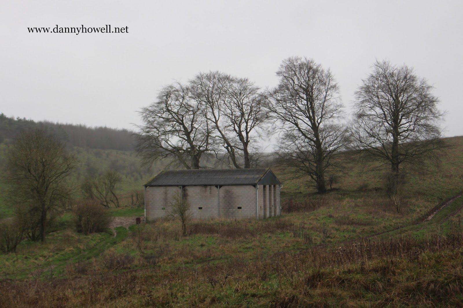
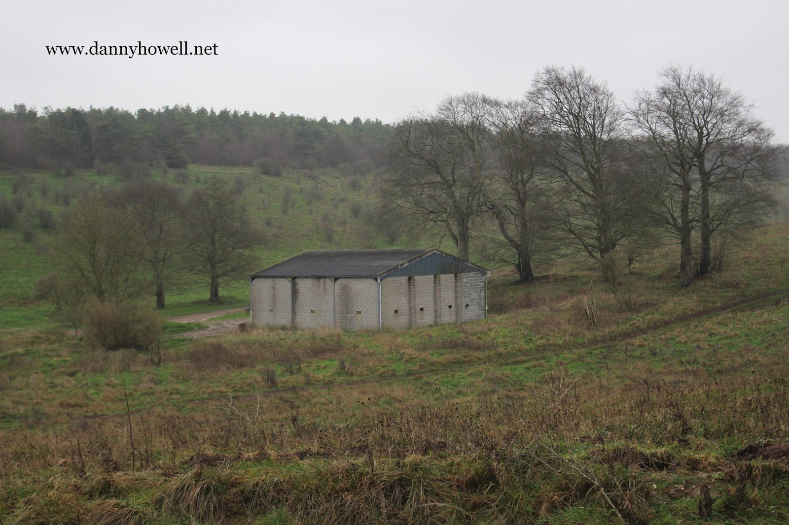
Sunday 27th December 2015
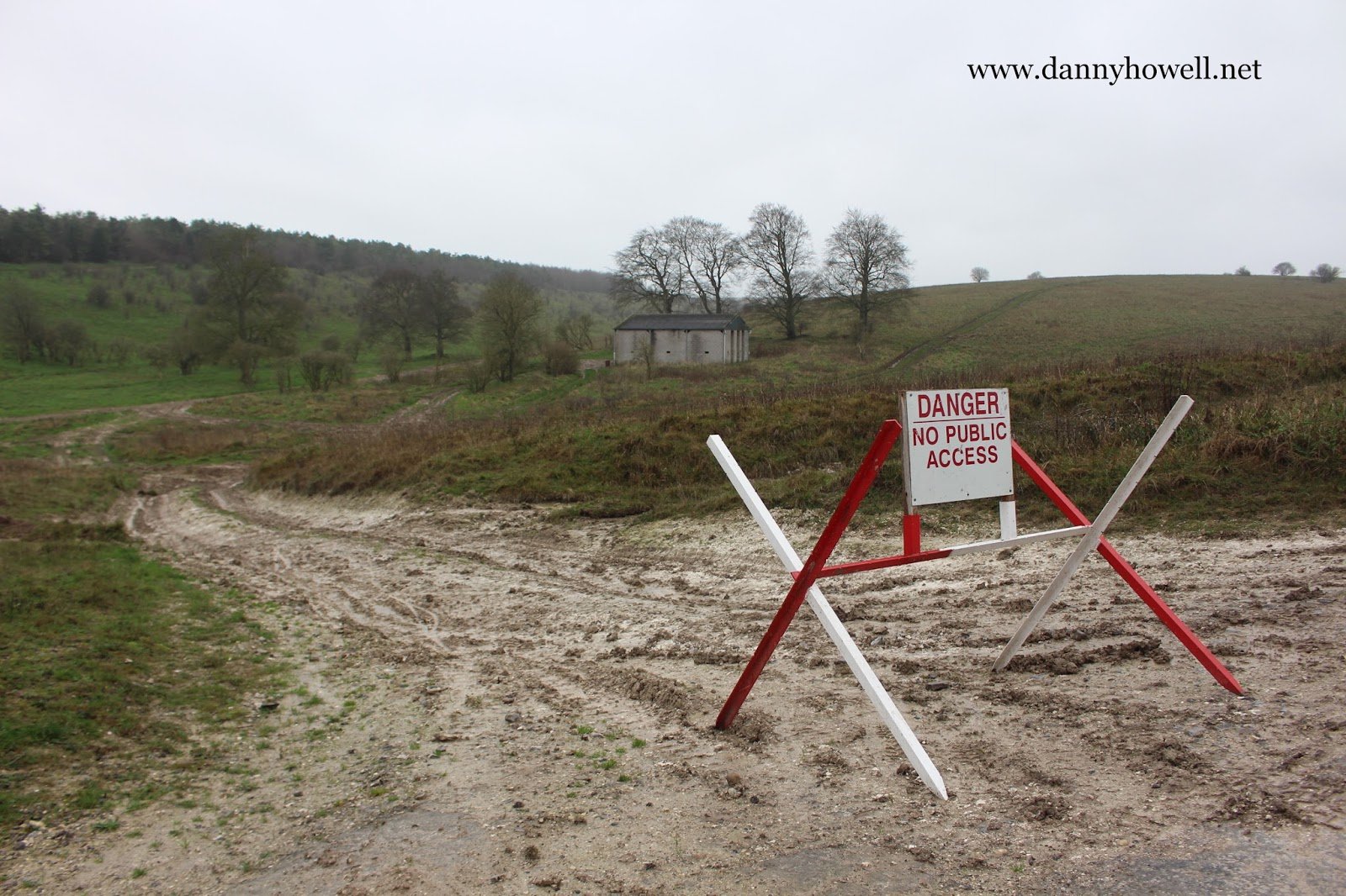
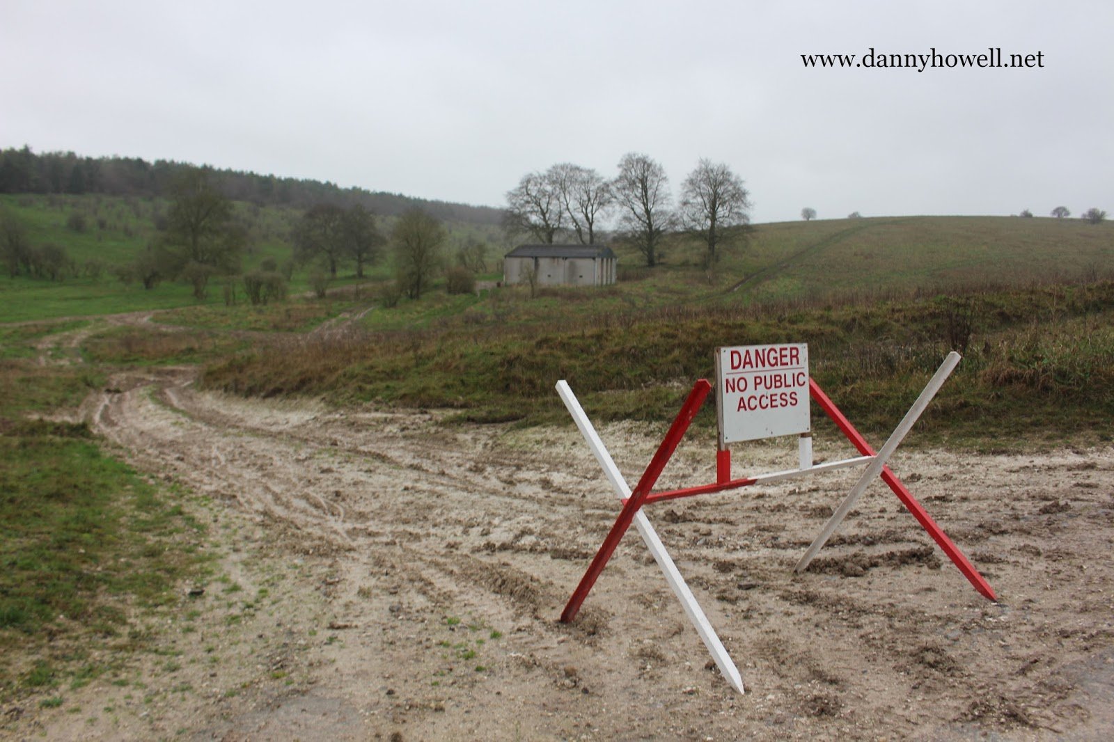
 Ladywell Barn, on the military live firing ranges, between Warminster and Imber.
Photographs taken by Danny Howell on Sunday 27th December 2015.
Sharing Local Knowledge About Warminster And District
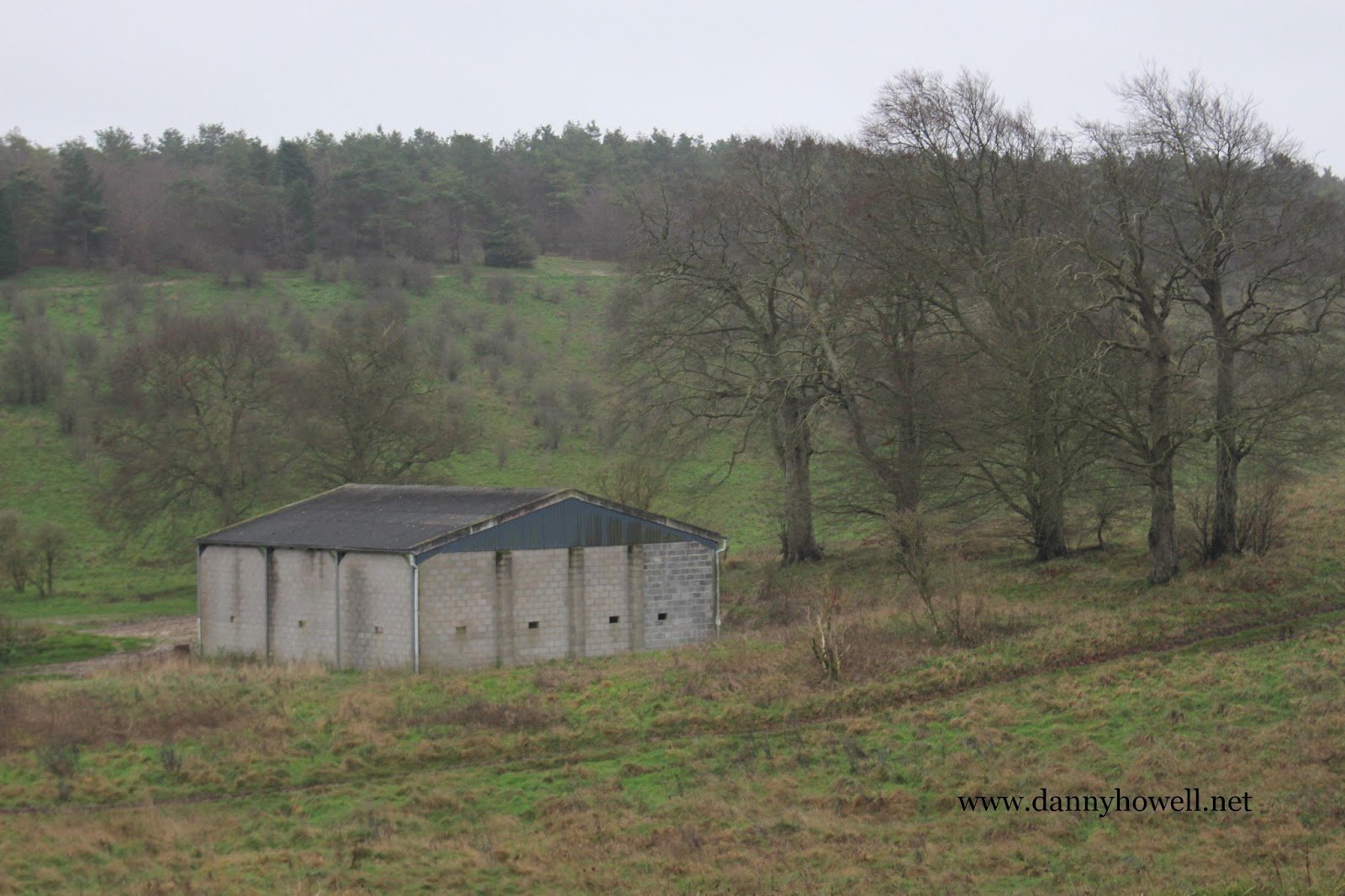
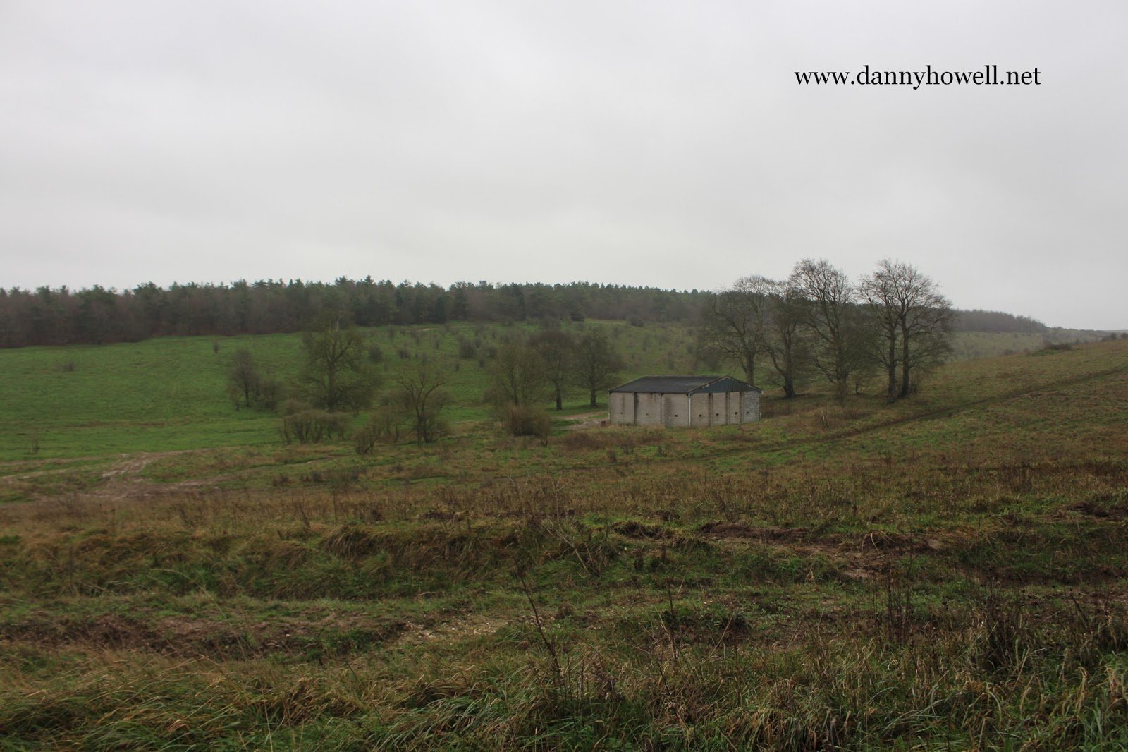
Sunday 27th December 2015
 Ladywell Barn, on the military live firing ranges, between Warminster and Imber.
Photographs taken by Danny Howell on Sunday 27th December 2015.
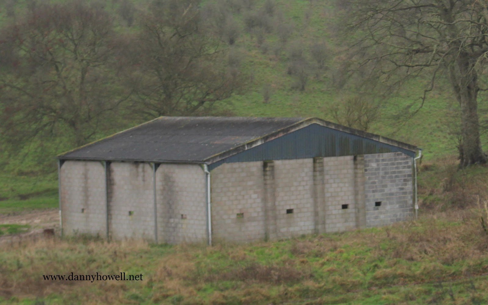
1958:
‘Ladywell Barn (In Ruins)’ is marked on the Ordnance Survey map, Heytesbury, Sheet ST 94, 1:25,000 First Series, printed and published 1958. ST 935 484.