Locally Valued Heritage Assets (LVHA) ~ Sandy Hollow, Smallbrook Road

From Appendix 7.8 – Warminster’s Heritage Topic Paper. Additional information to support the Warminster Neighbourhood Plan. Produced in 2024.

Locally Valued Heritage Assets (LVHA)

Map Ref. No. 1

Database Ref. LVHA22.1

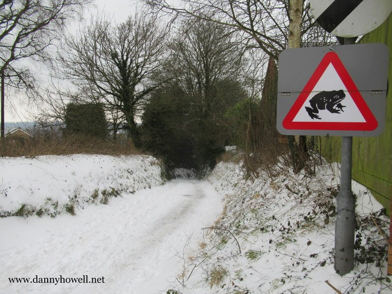
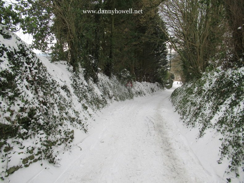
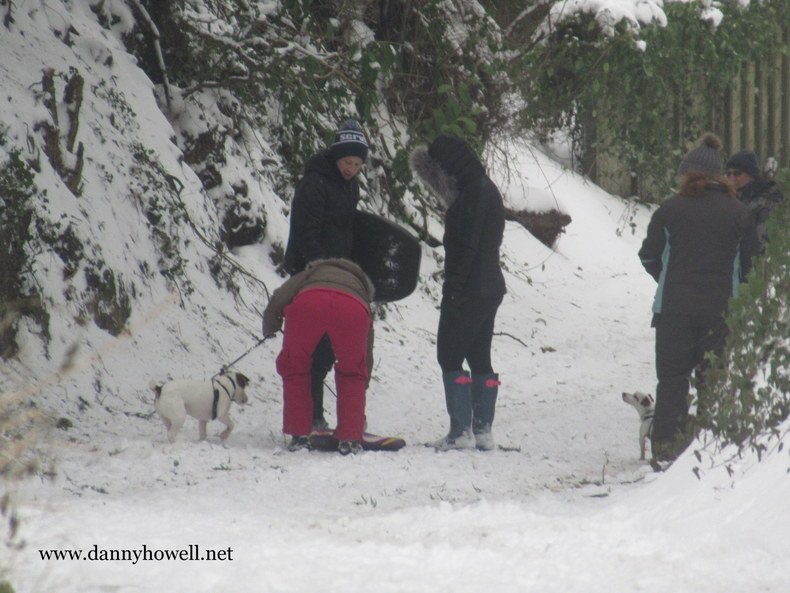
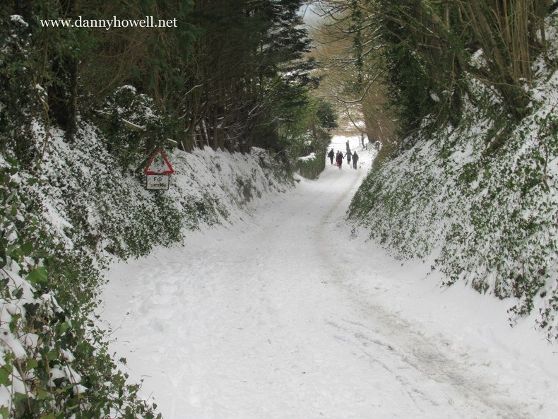
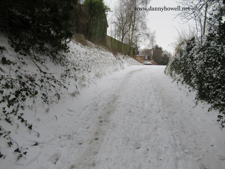
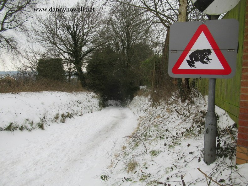
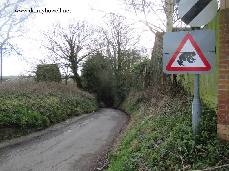
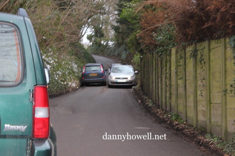
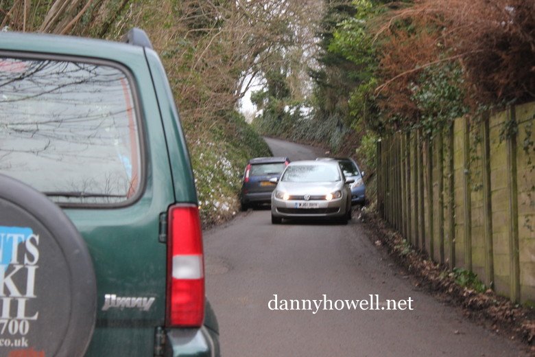
Asset Name: Sandy Hollow, Smallbrook Road, Warminster.

Description: Medieval packhorse tracks radiating out from town into countryside linking to surrounding villages. Most are indicated on the 1760 and 1783 Longleat surveys and all are visible as earthworks.

How asset met Historic England critera –
Rarity (R)
Architectural or Artistic Interest (AA)
Group Value (GV)
Archaeological Interest (AI)
Historic Interest / Association (HI/A)

(GV) Medieval routes still used today. Walked and valued by local people as open spaces which are part of the ancient landscape and townscape.
(AI) Ancient routes making connections with other towns.

Additional comments:
Unique, internationally important 17th C civil engineering.

Motorists Be Aware ~ Look Out For Frogs And Toads On Smallbrook Road, Warminster, As They Head For Spawning

Monday 12th February 2018

The road signs are uncovered again because it’s that time of year when frogs and toads make their way across Smallbrook Road, Warminster, as they head to spawn in the ditch adjacent the road and in the ponds at Smallbrook Meadows Nature Reserve.

Motorists are asked to be aware, and to avoid driving over the amphibians.

Road sign at the top of Sandy Hollow.

Photographs taken by Danny Howell on Monday 12th February 2018.

Road sign at Calveswater.

Smallbrook Meadows Nature Reserve in the background.

Smallbrook Road, Warminster ~ Closed At Sandy Hollow Because Of Flooding Again At Calveswater

Saturday 8th February 2014

Sandy Hollow at the junction with Gipsy Lane, Chain Lane and Southleigh Road, Warminster, is closed to vehicles today because Smallbrook Road at Calveswater is flooded with water again.

Tricky For Traffic At Sandy Hollow

Sandy Hollow, which connects the junction of Gipsy Lane, Chain Lane and Southleigh View, with The Marsh below, is very much used by cars these days and it is often the case that vehicles have to  squeeze slowly past one another, as these photos show. The photographs were taken by Danny Howell on Friday 25th January 2013.