The Hanging, Warminster, 2025

Monday 2nd June 2025

Item 21 on the Agenda for a meeting of the Town Development Committee of Warminster Town Council, held at the Civic Centre, Warminster, on the evening of Monday 2nd June 2025, was: “Rights Of Way Volunteers. To note the update from the Rights of Way Volunteers.”

The Rights Of Way Volunteers presented a Warminster Rights Of Way Maintenance Analysis, which included the following information for The Hanging:

Ser. 11
Parish number: WARM 11.
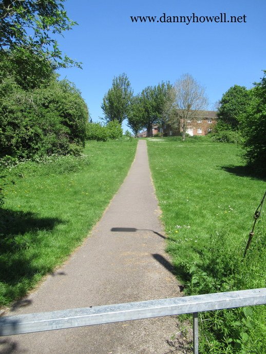
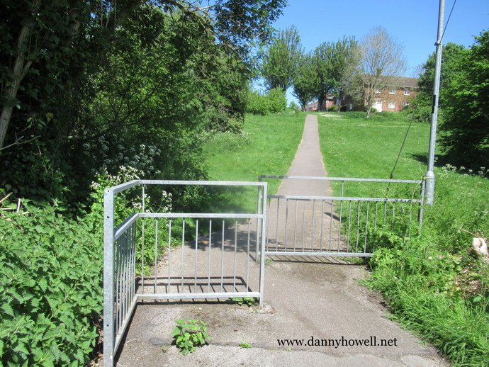
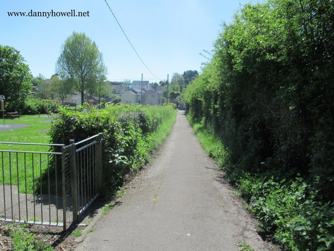
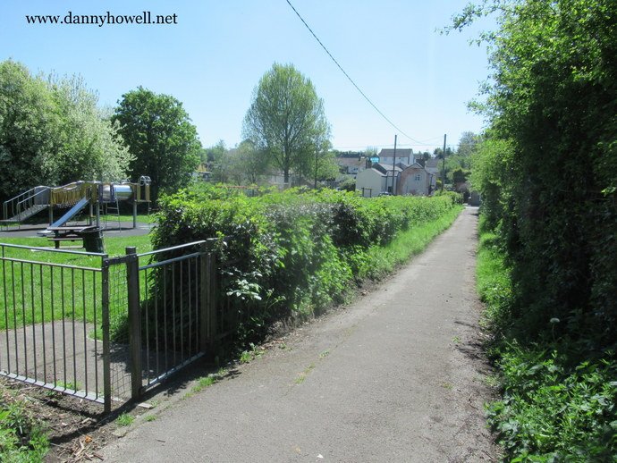
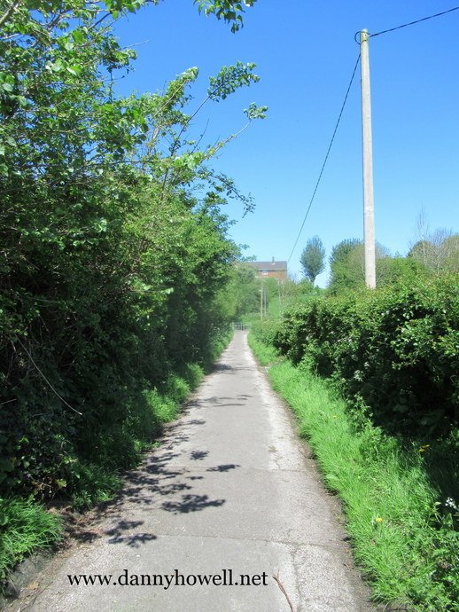
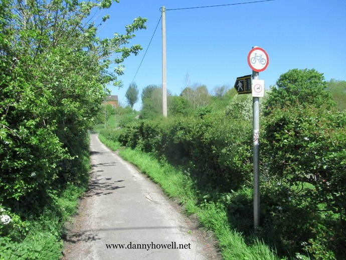
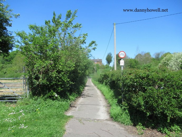
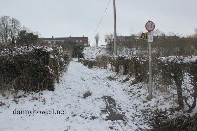
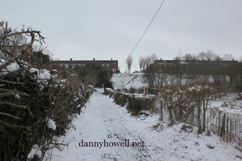
Name: The Hanging.
Status: Footpath.
Length (m): 146.
Surface: Tarmac.
Remarks: (From HANGR Old English for a slope). Links Fore Street to Alcock Crest.

In The Snow – The Hanging – The Path From Brook Street To Alcock Crest, Warminster

Tuesday 22nd January 2013

The Hanging – the path which connects
Brook Street with Alcock Crest, Warminster.

The path ascends the slope known as
The Hanging.

Both photos were taken from
the Brook Street end and the view looks north.

Photographs taken by Danny Howell
on Tuesday 22nd January 2013,
when snow was laying on the ground.

Footpath No.11 ~ The Hanging, Warminster

The Hanging, Warminster, is recorded as Path No.11, in the ‘Statement to accompany the Definitive Map depicted on O.S. Sheets ST 84 NW, ST 84 SW, ST 84 NE, ST 84 SE, ST 94 NW (as modified under Sections 53 and 55 of the Wildlife & Countryside Act 1981)’.

In that statement it is described as “[In parish of] Warminster. Footpath No.11. The Hanging. From Brook Street, nearly opposite King Street, leading north about 146m. Approximate length 146m. Limitations or conditions affecting public rights: relevant date 6th October 1992.”

http://www.warminster-tc.gov.uk/council/documents/DefinitiveStatementsupdateforWarminster8182.pdf