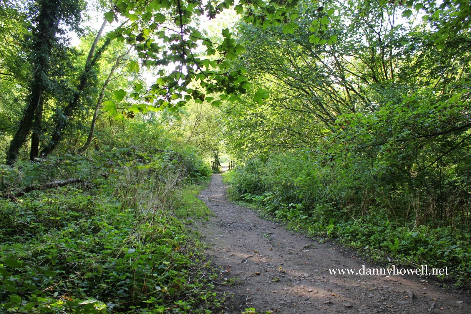
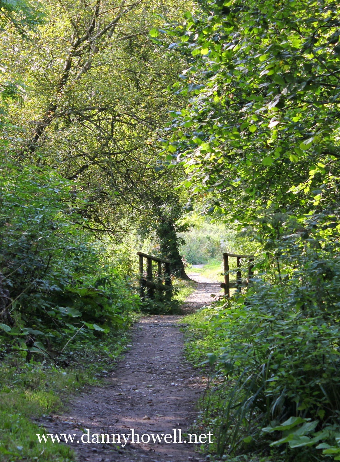
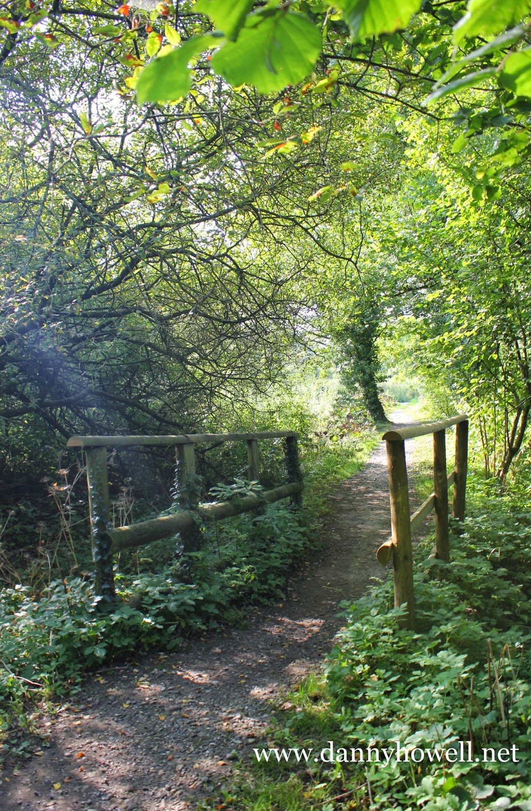
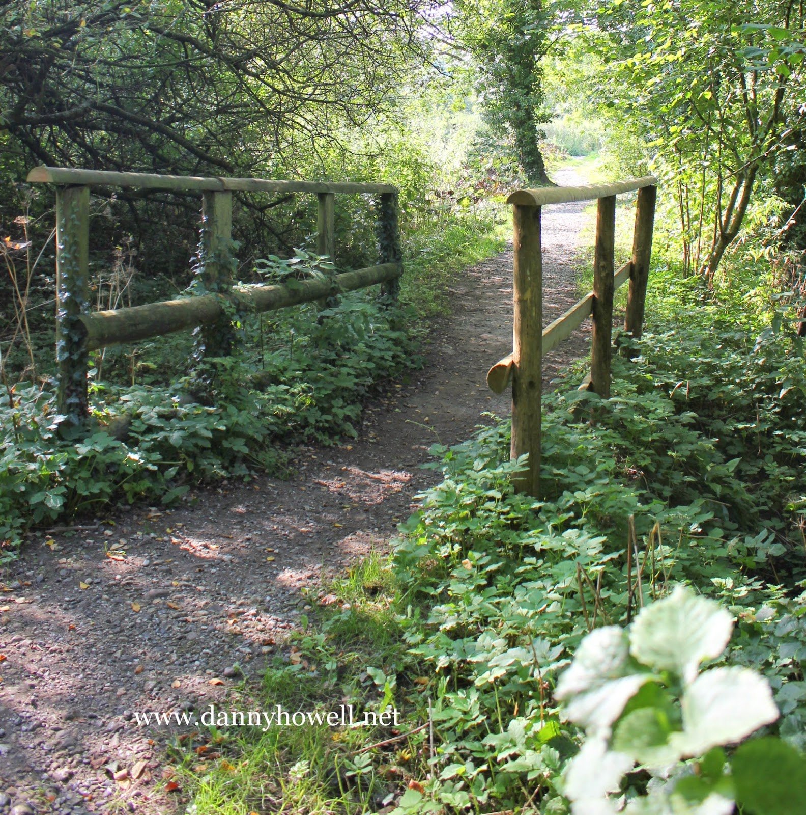
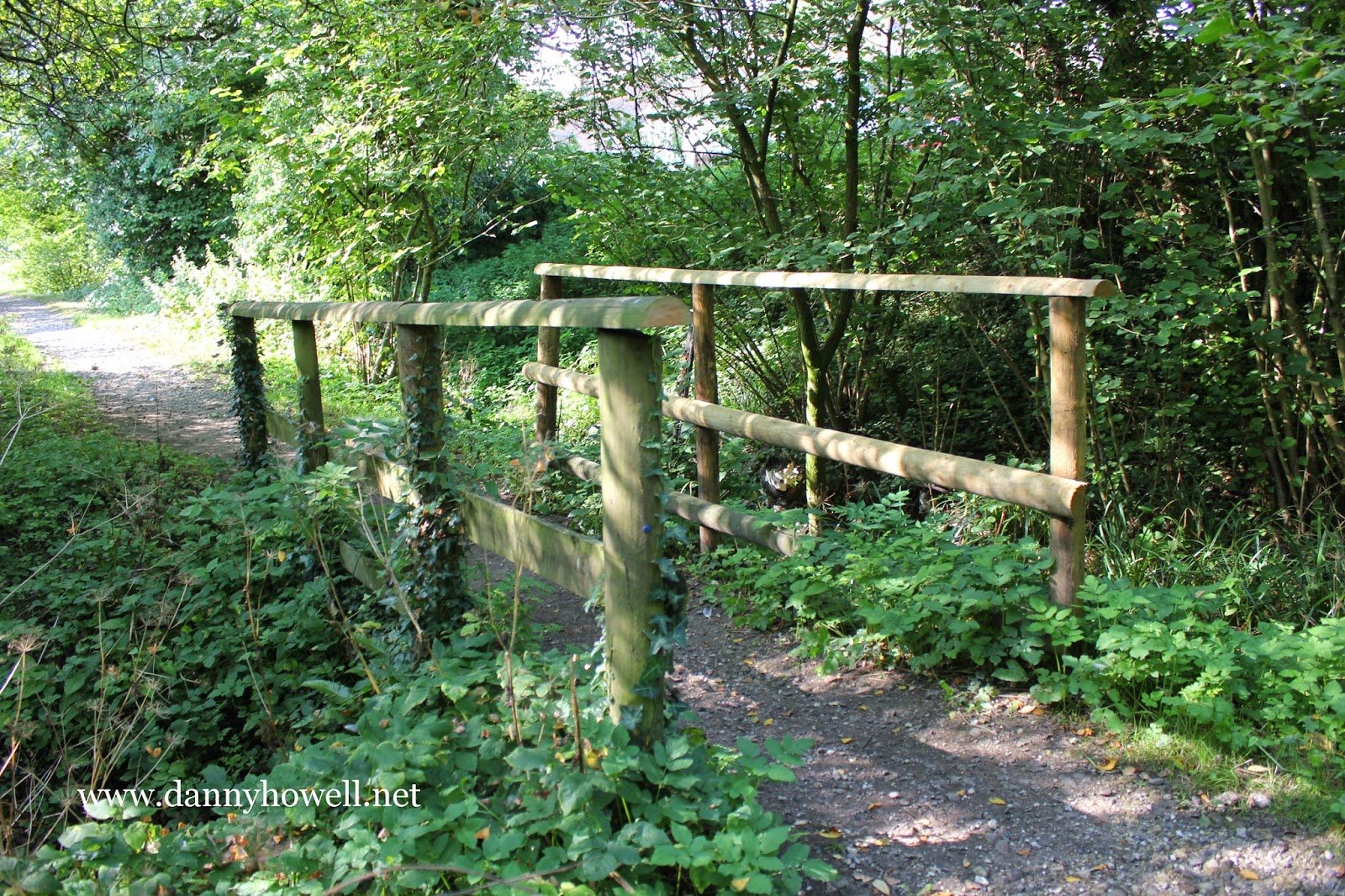
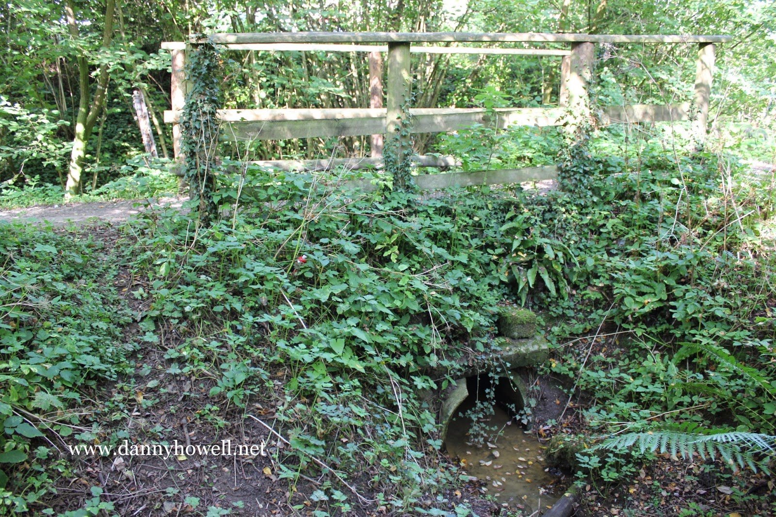
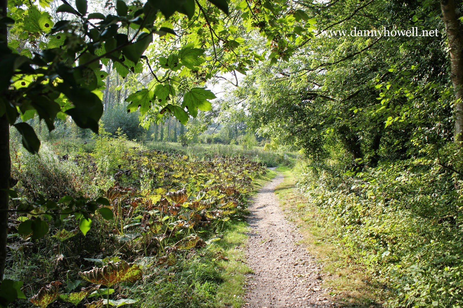
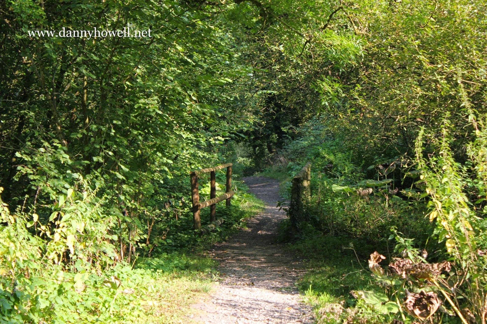
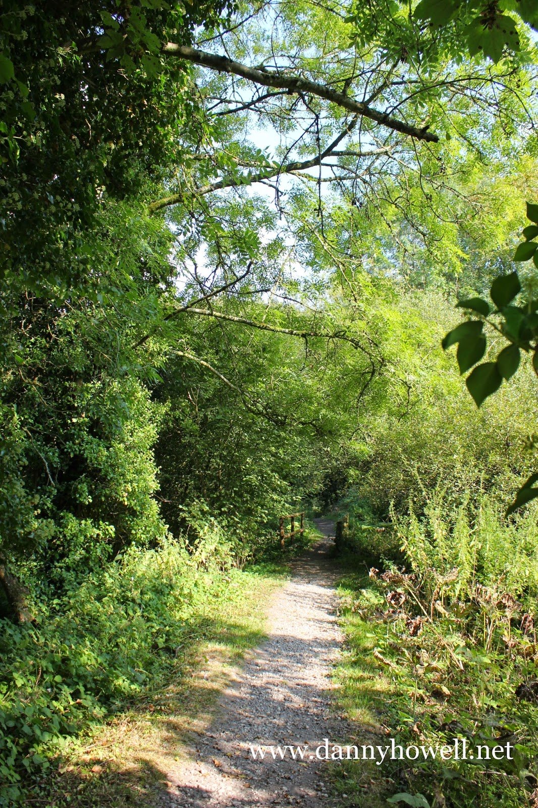
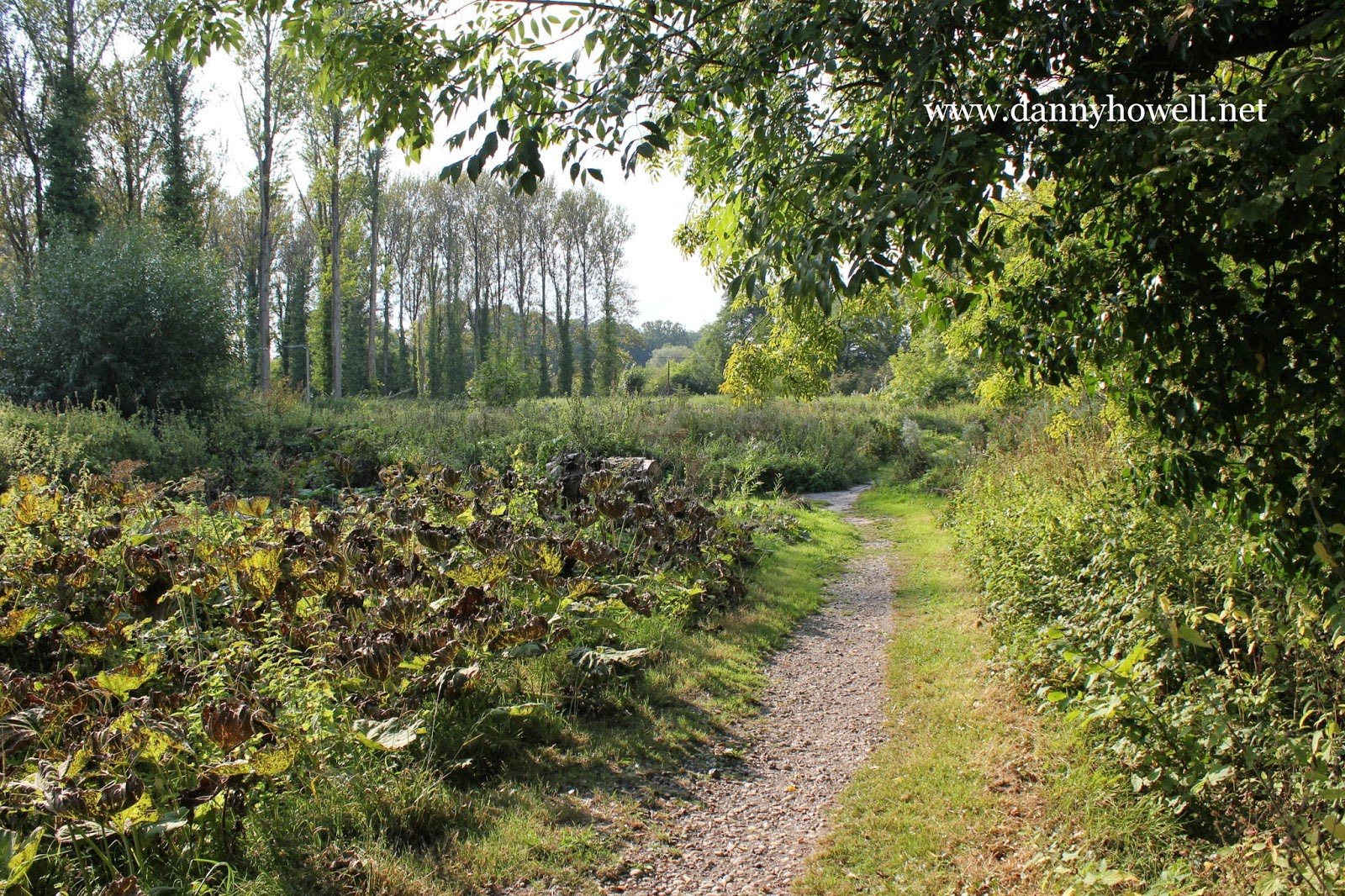
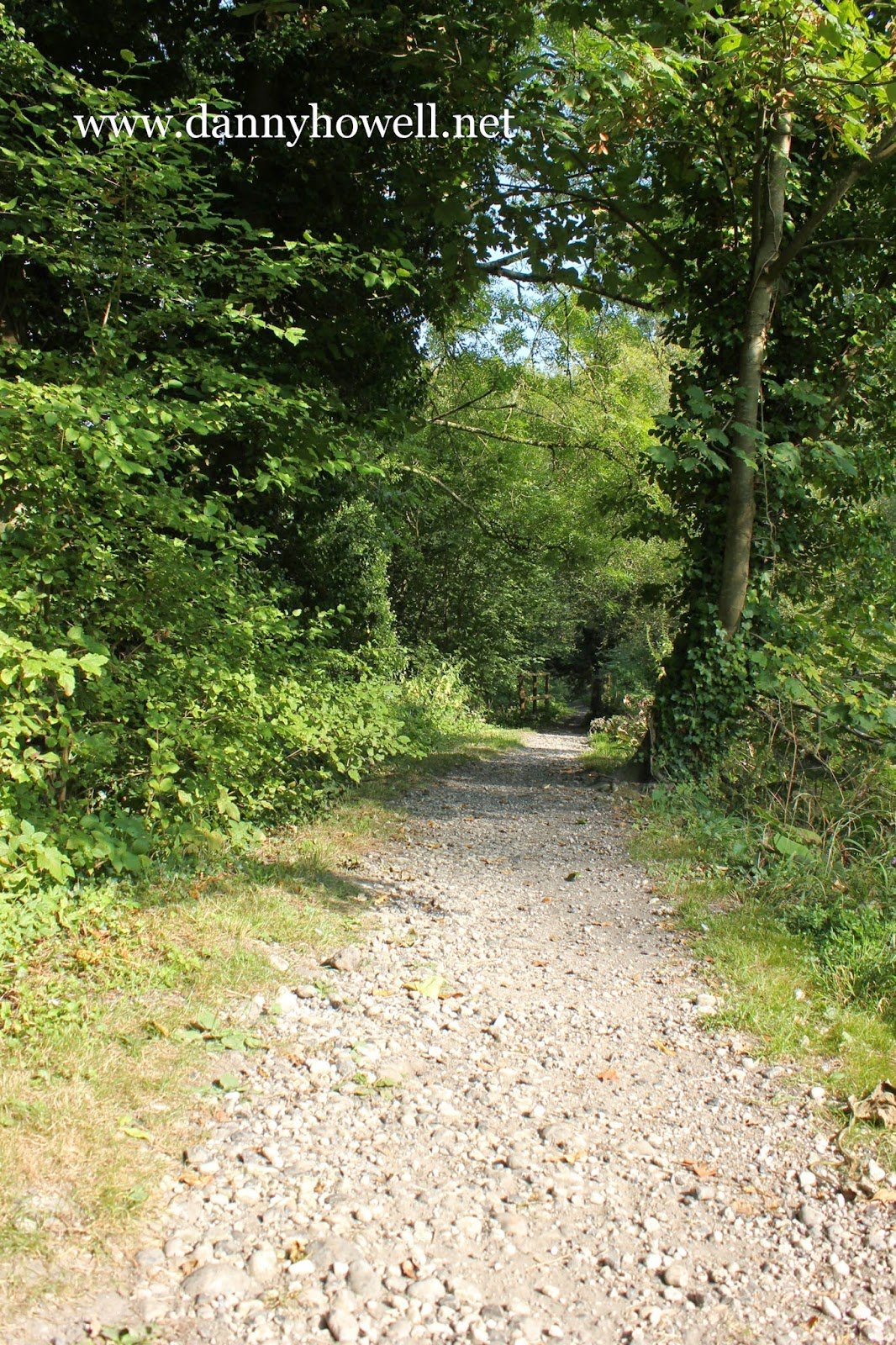
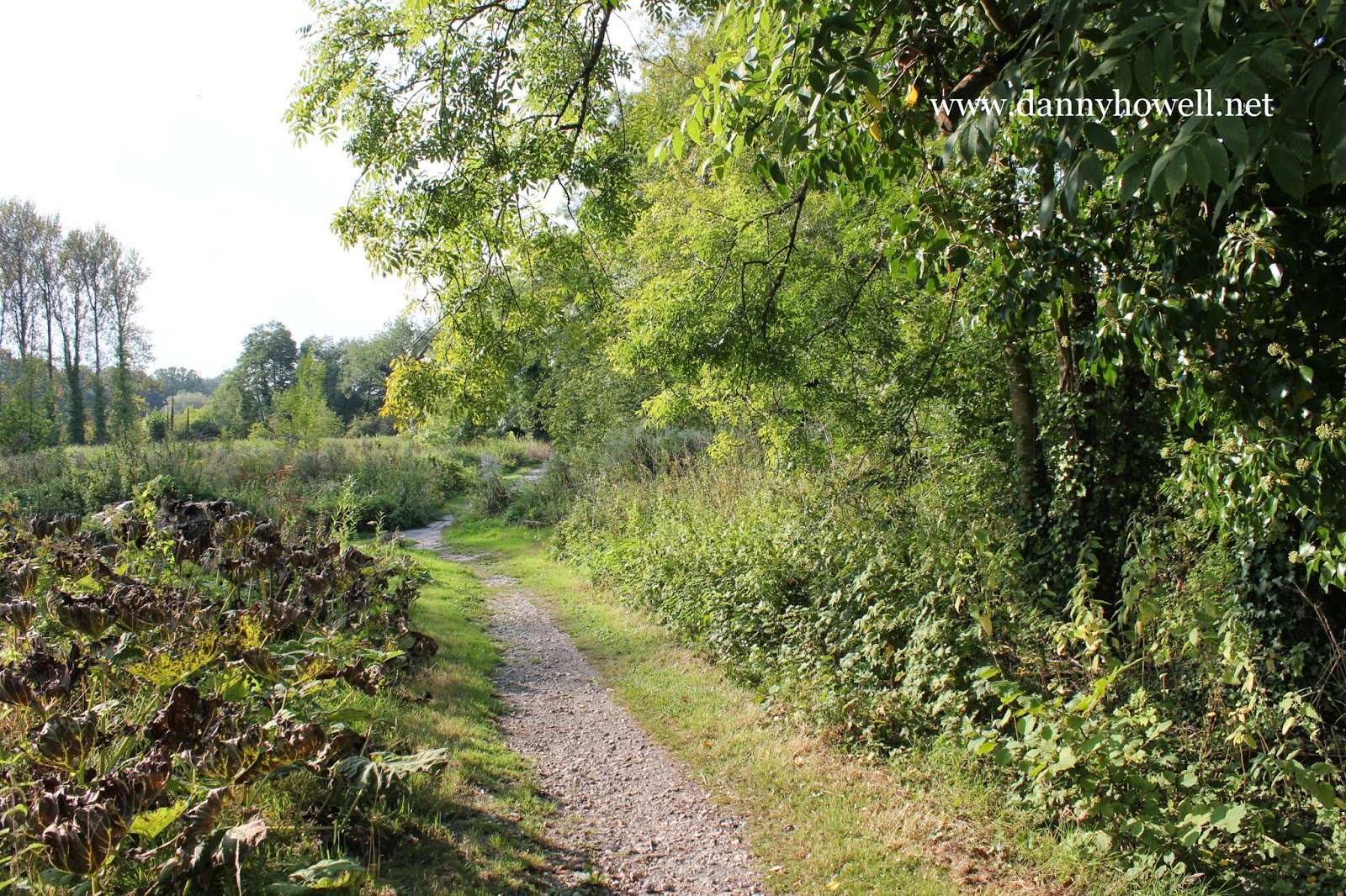
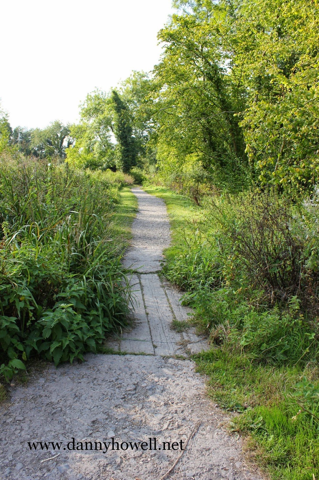
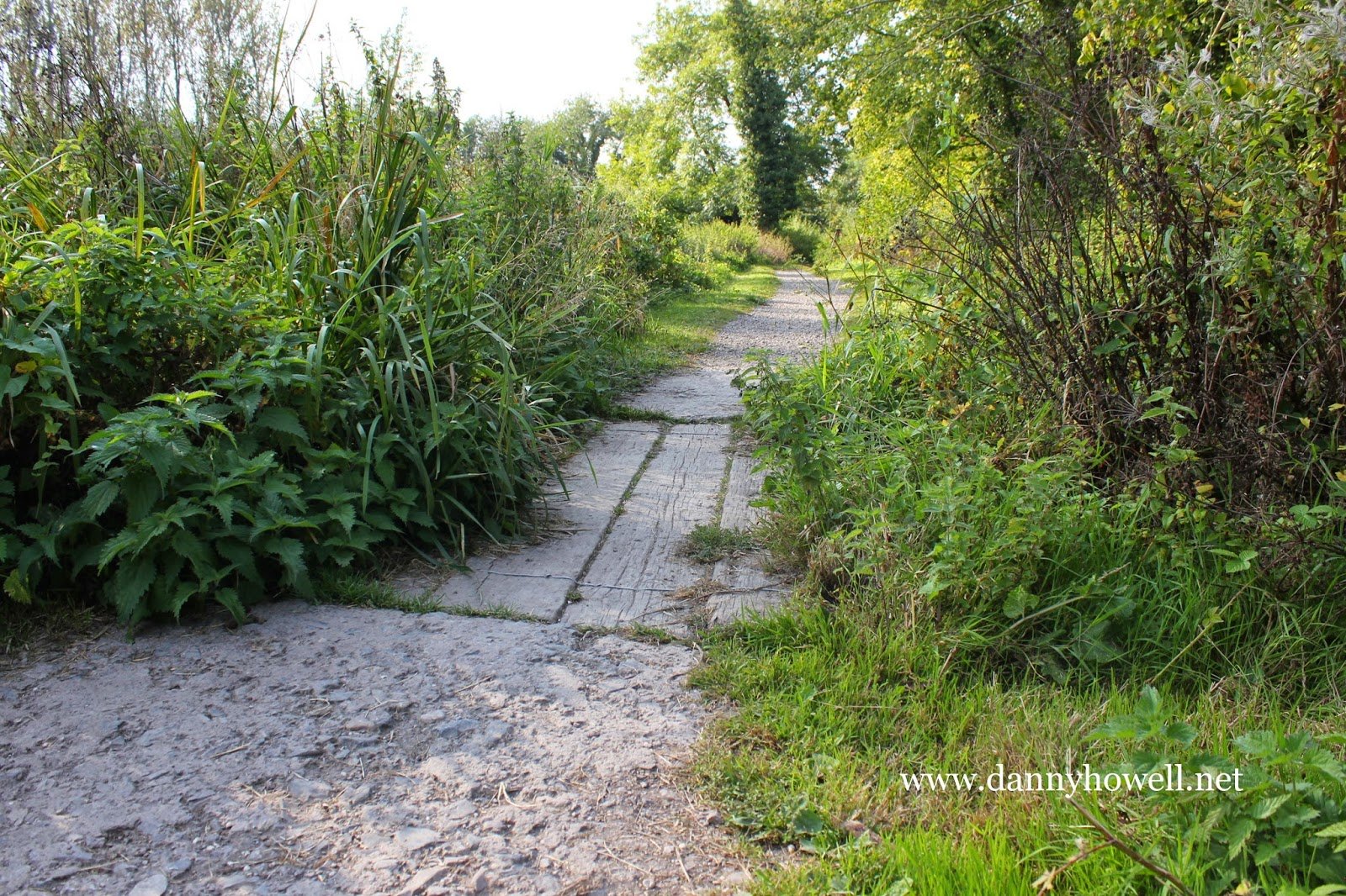
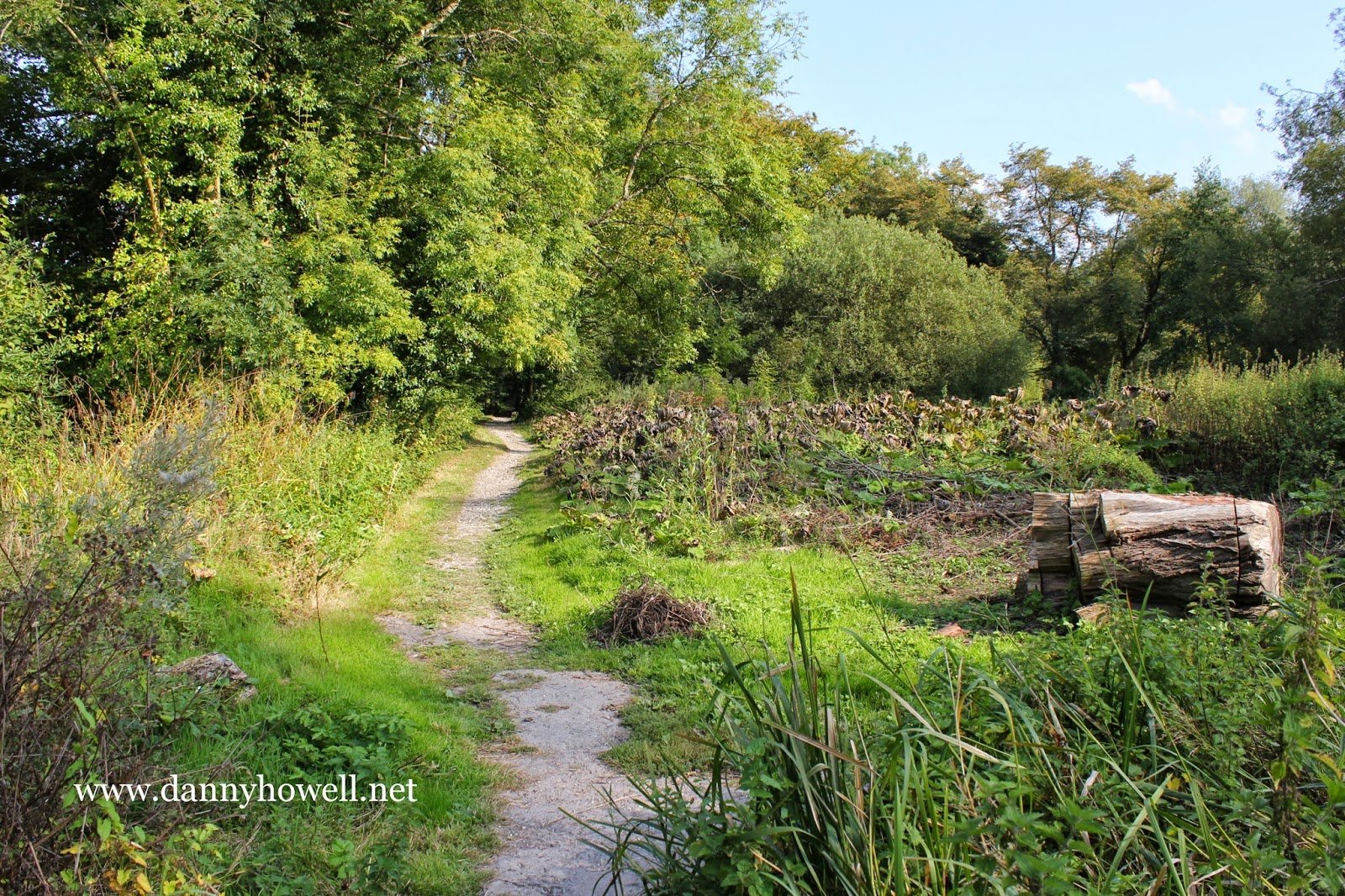
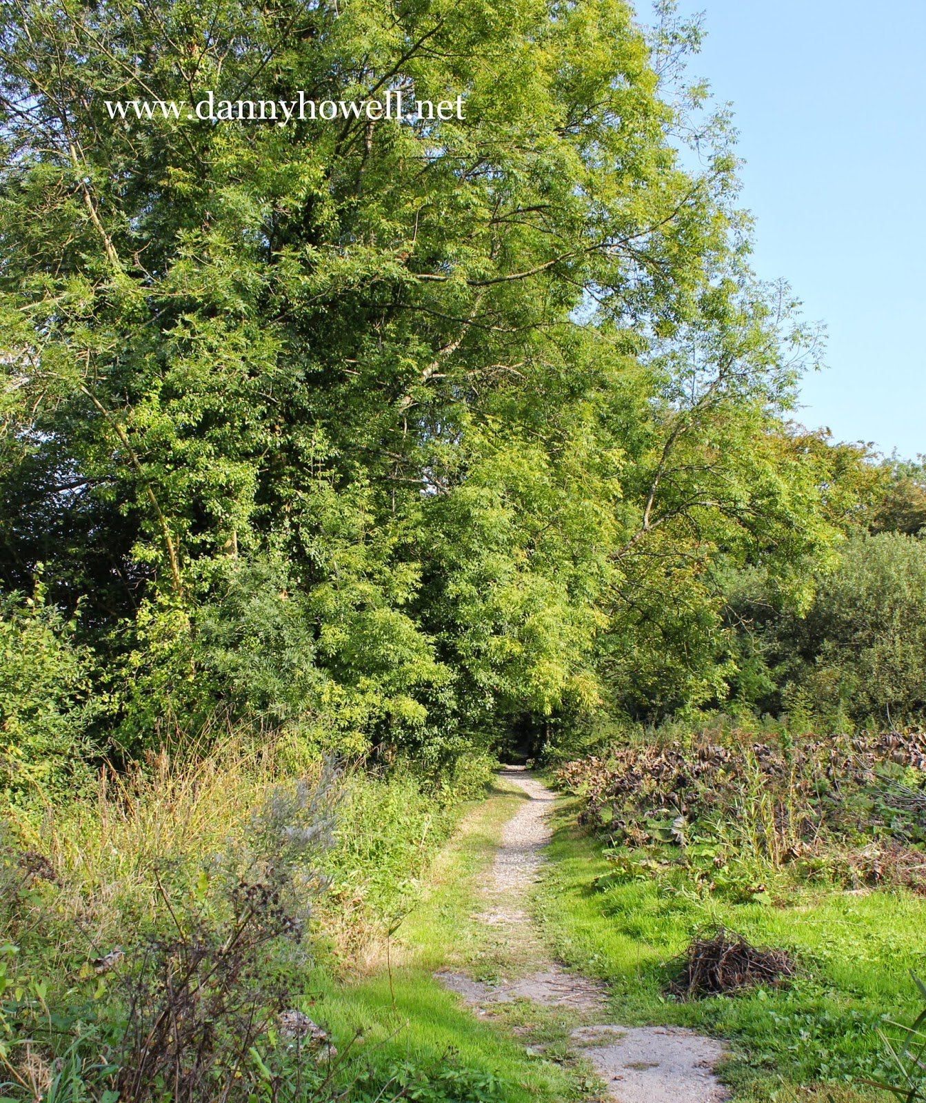
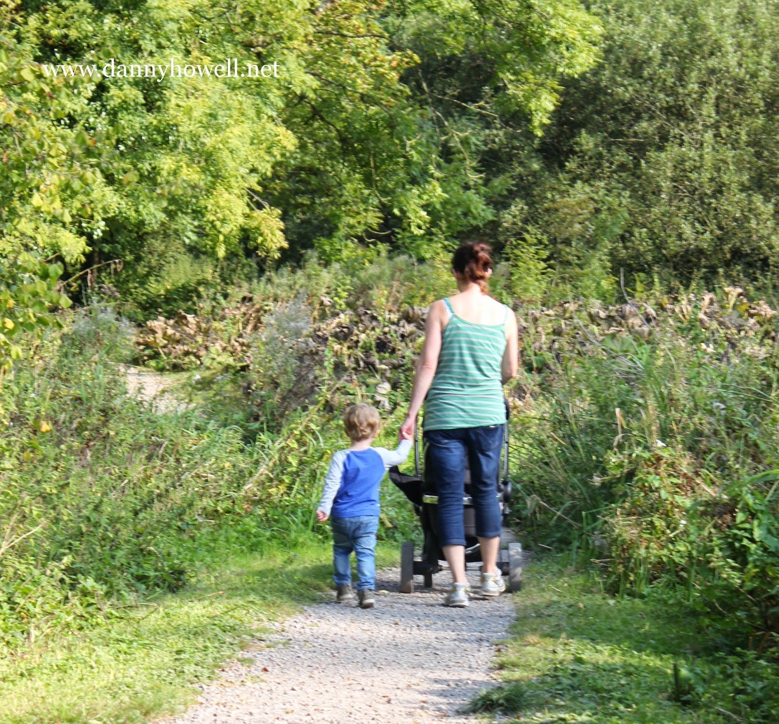
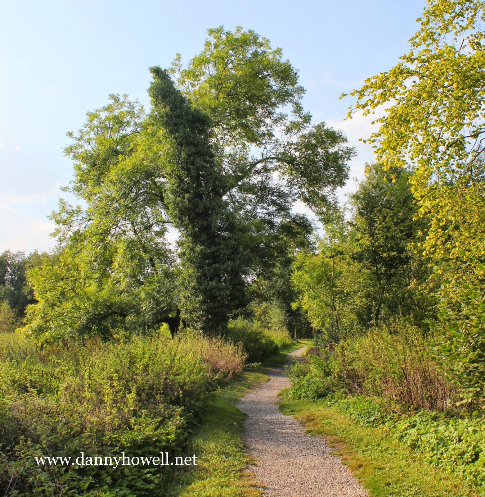
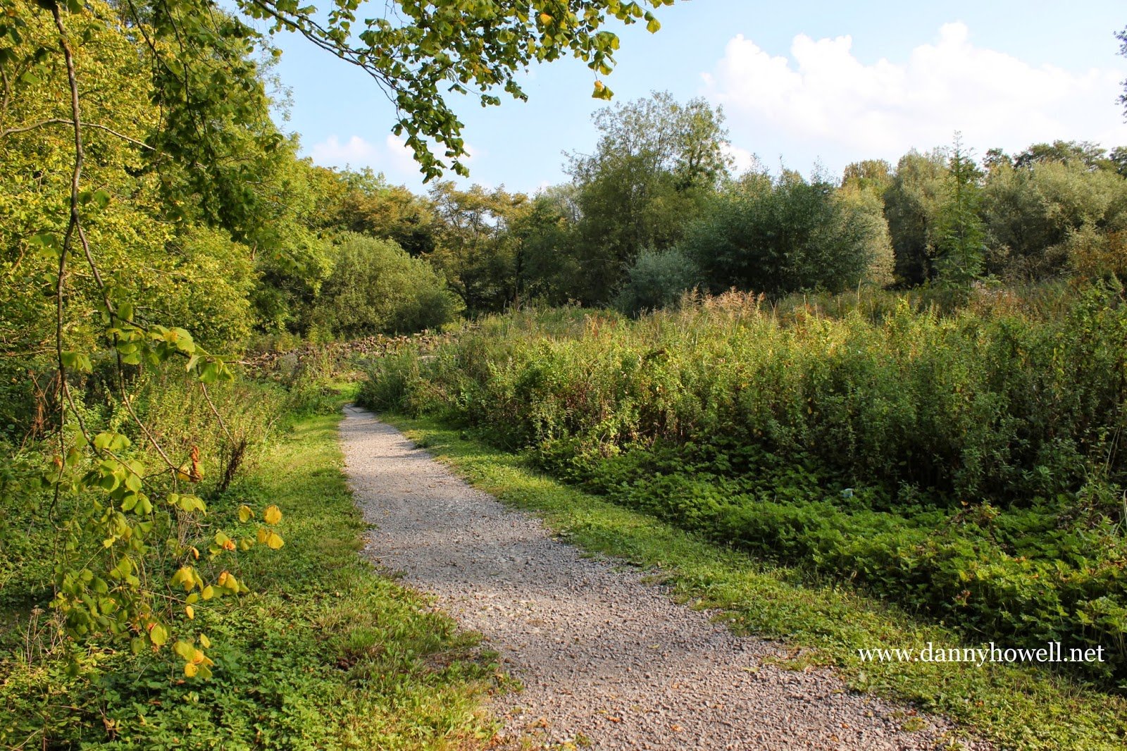
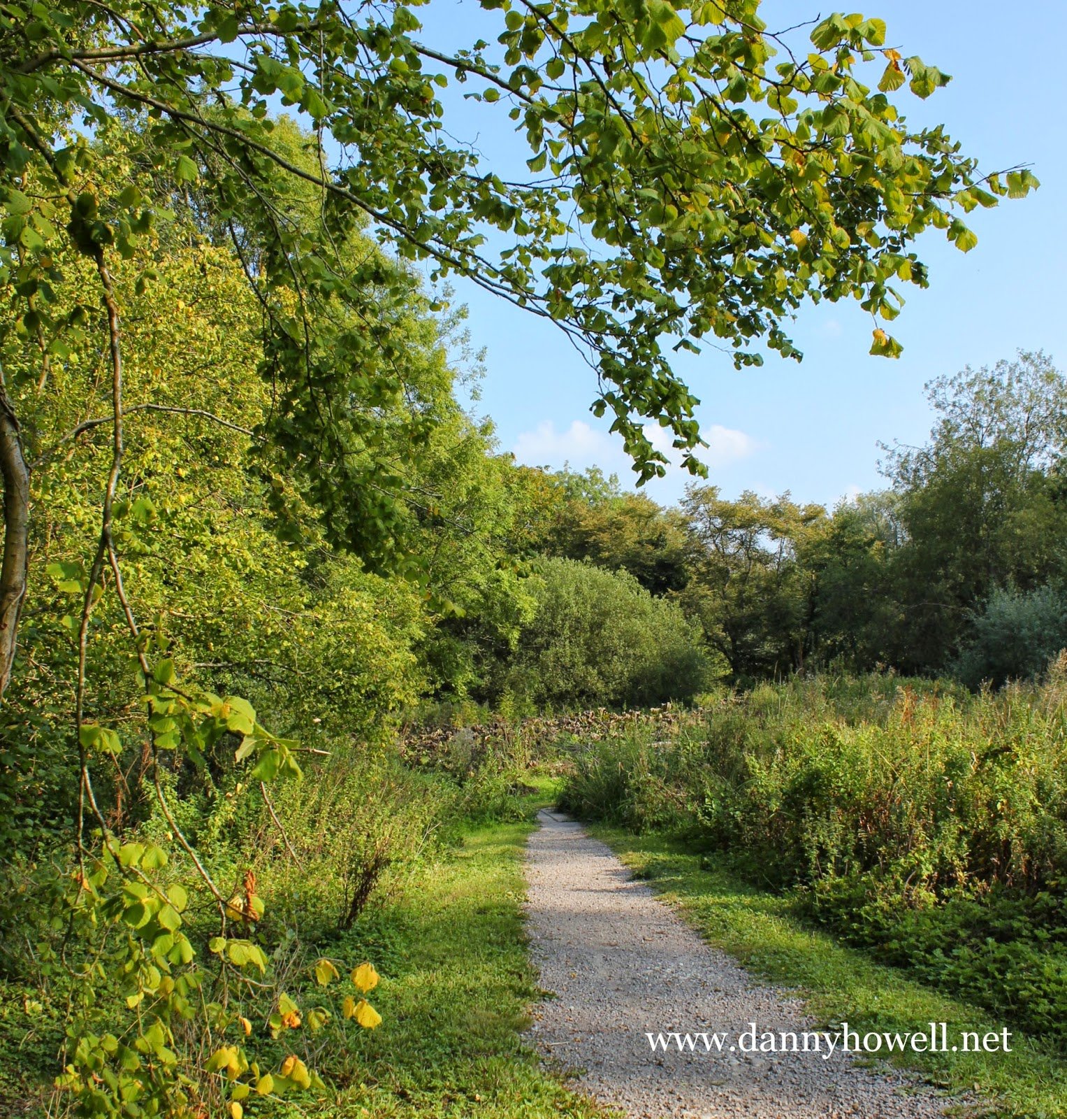
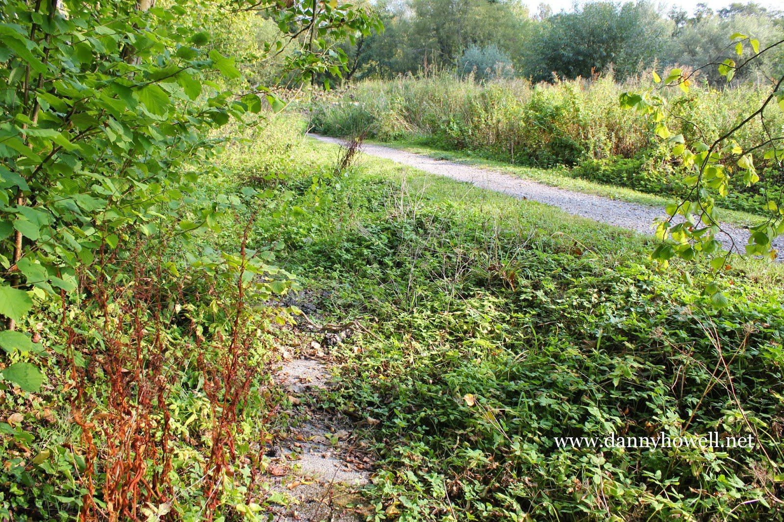
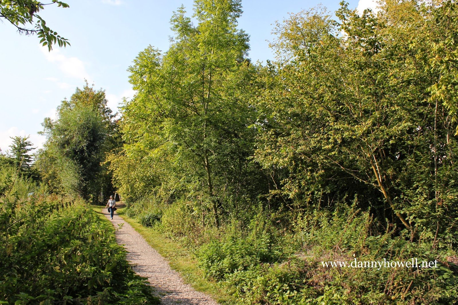
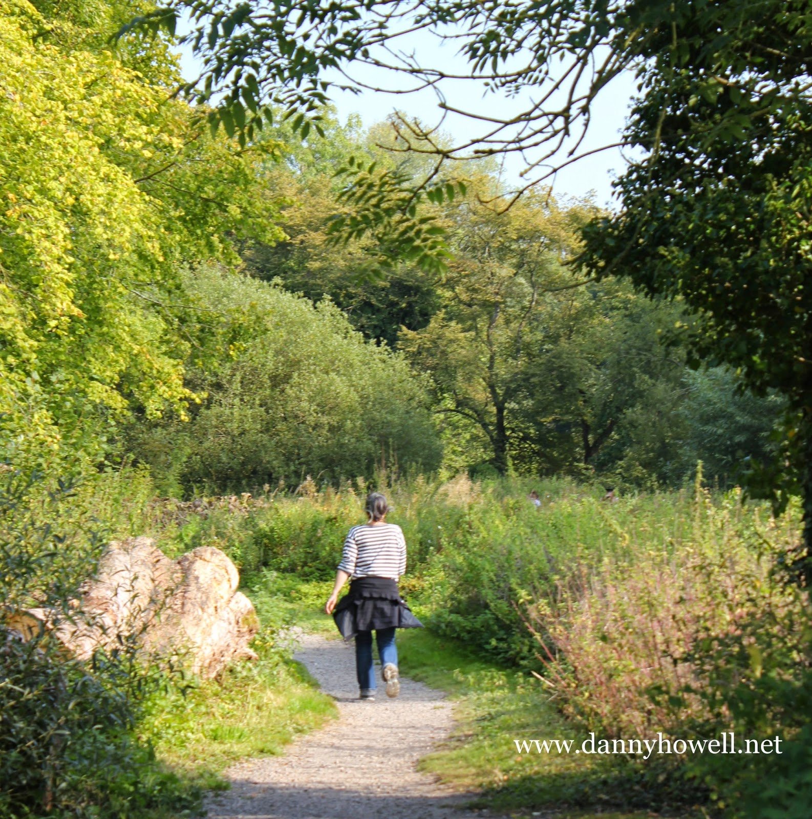
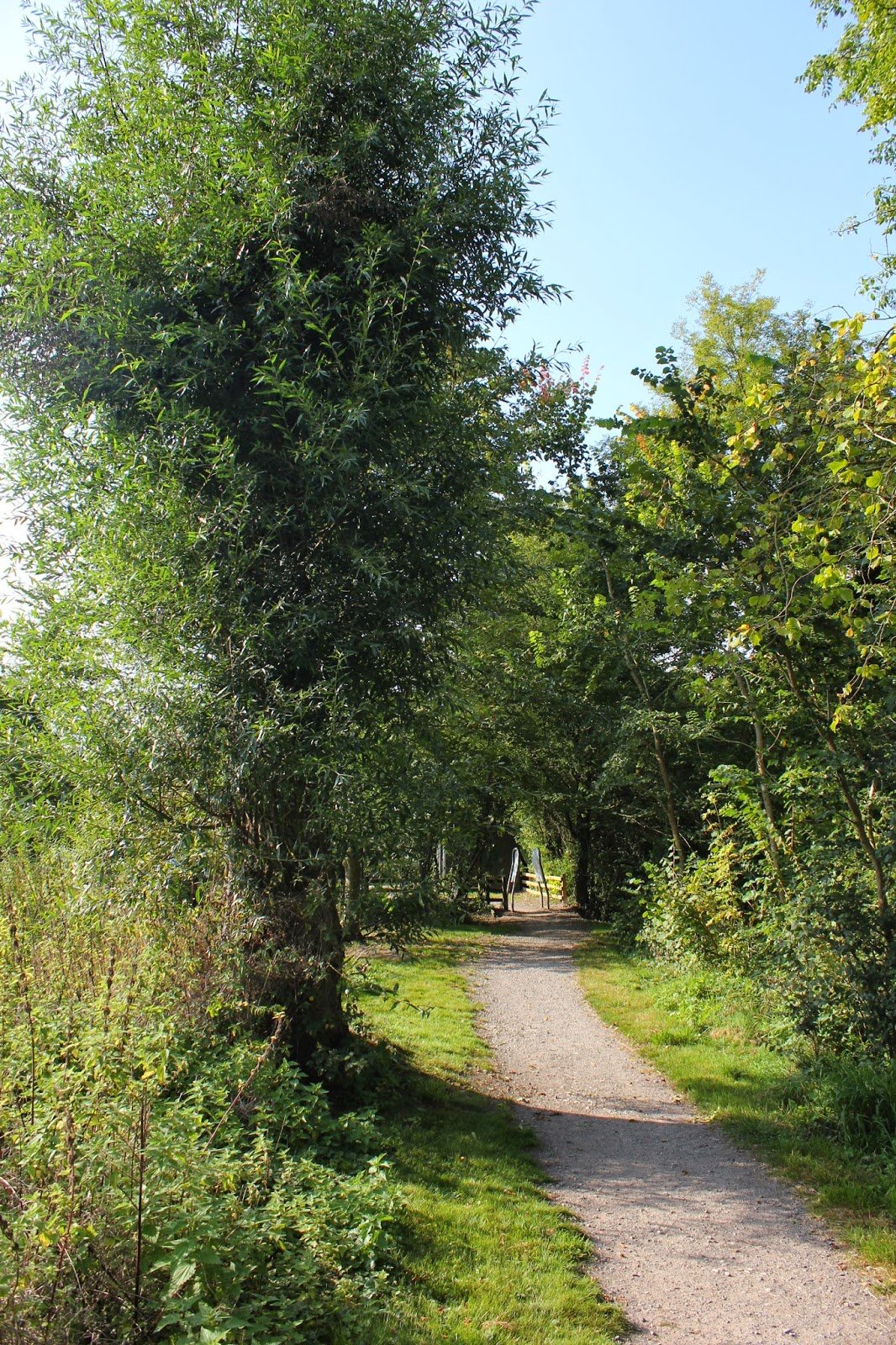
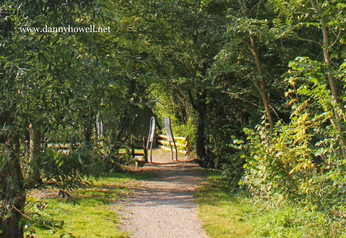
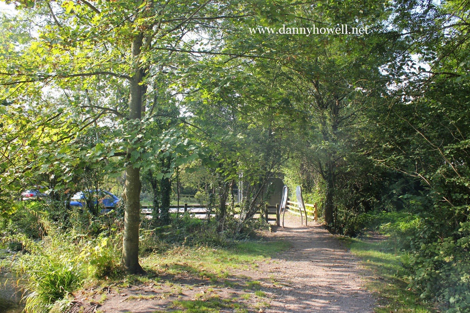
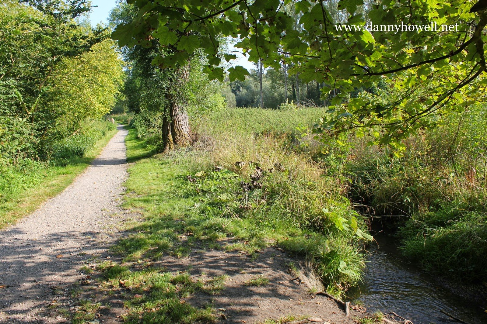
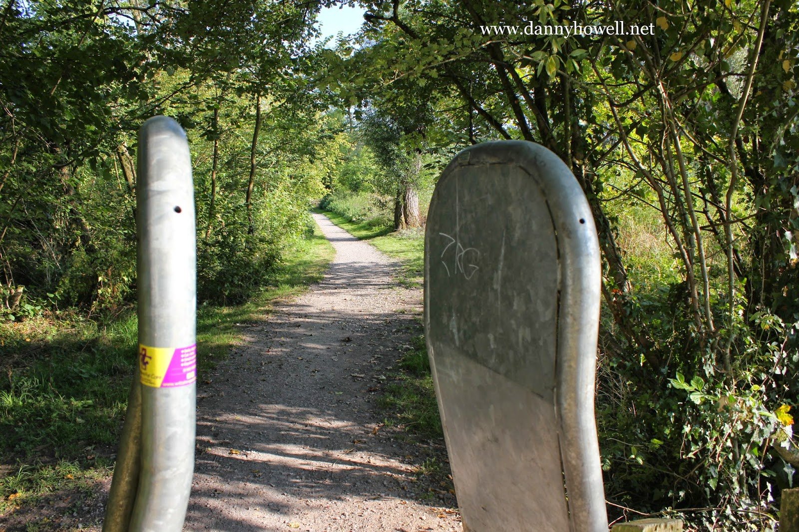
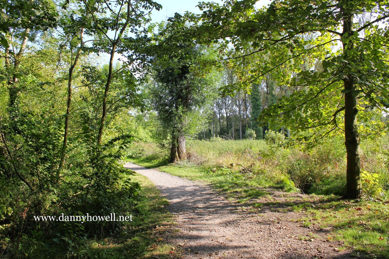
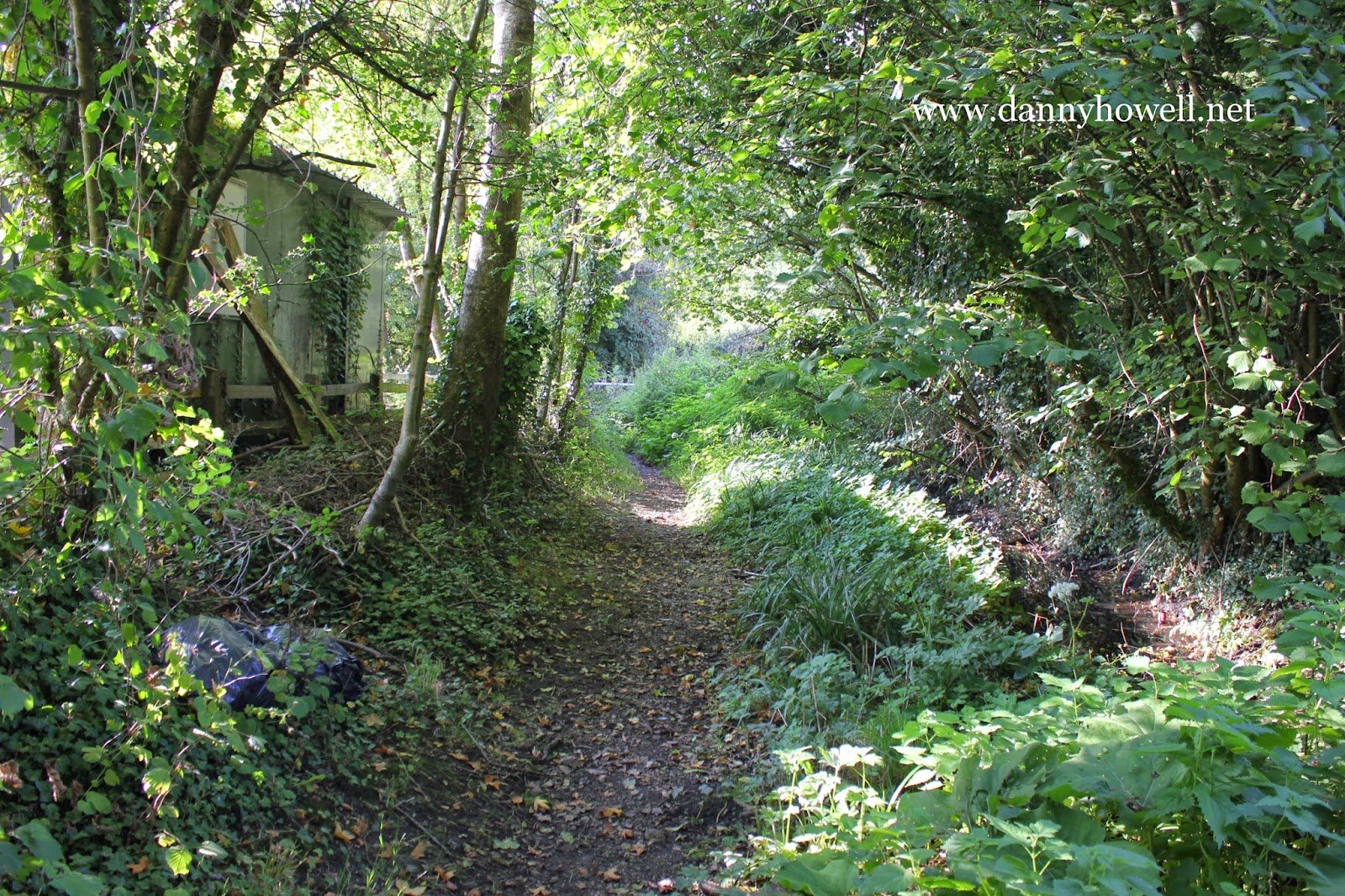
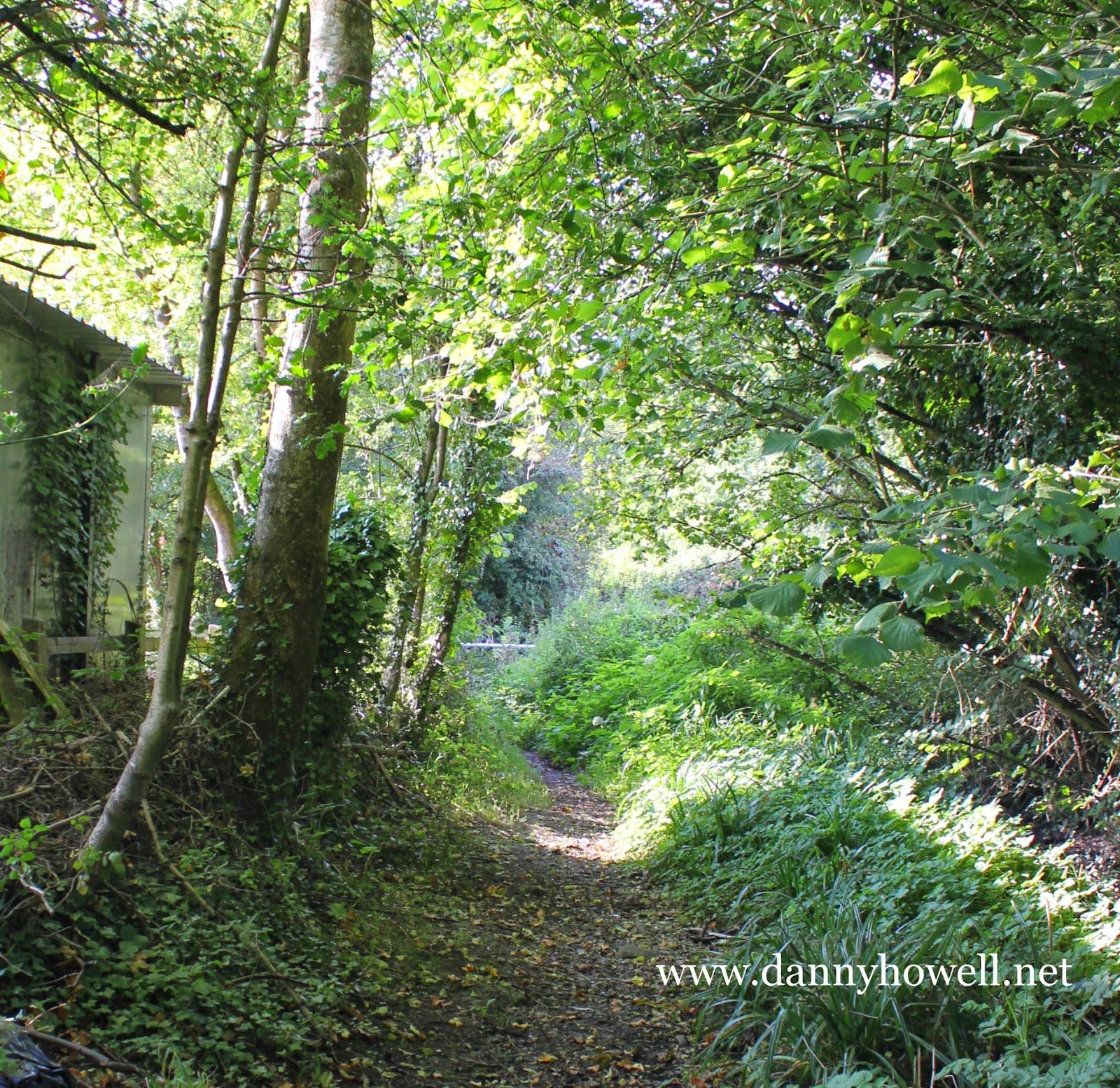
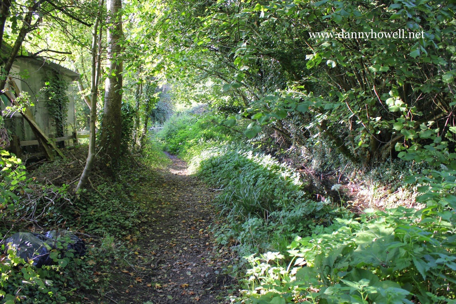
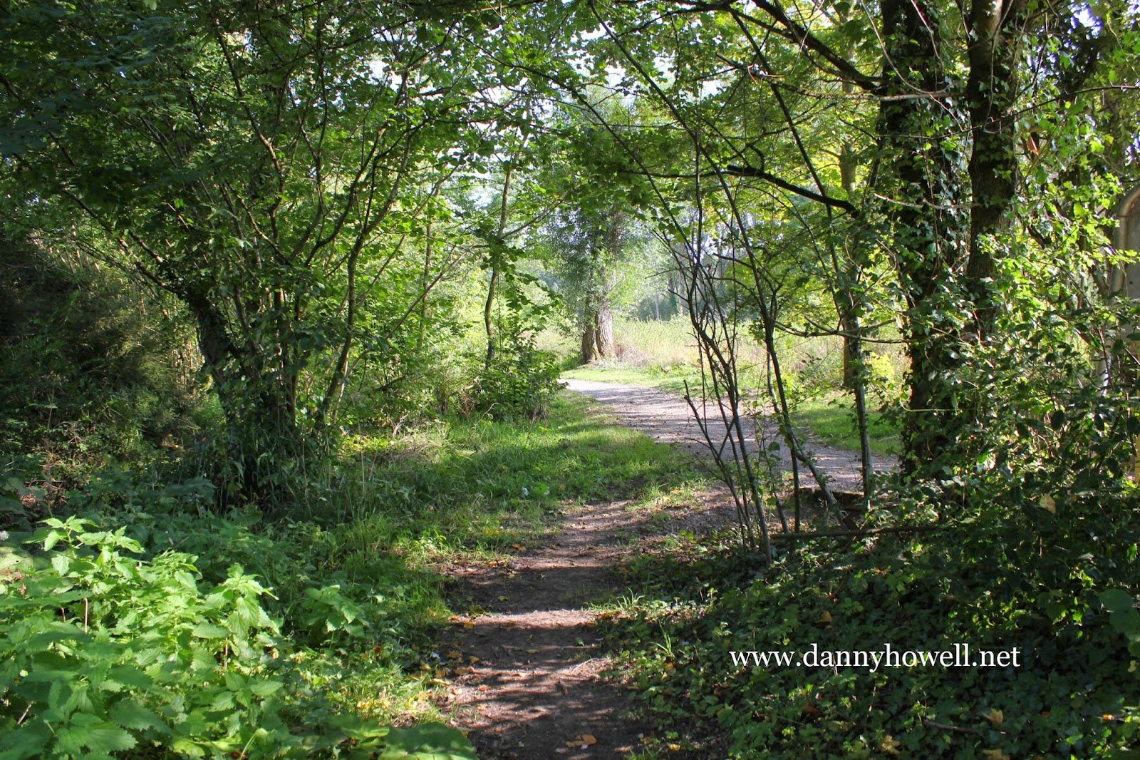
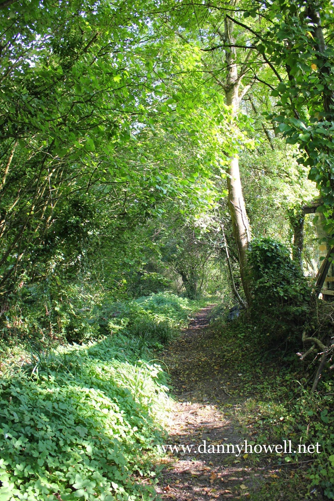
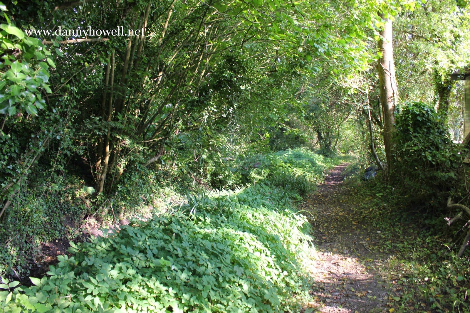
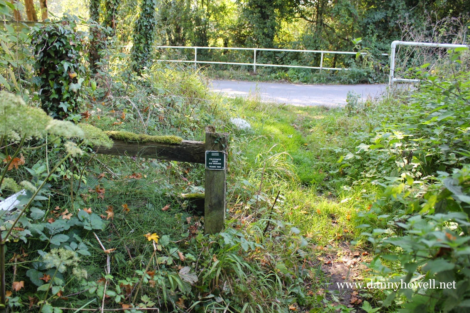
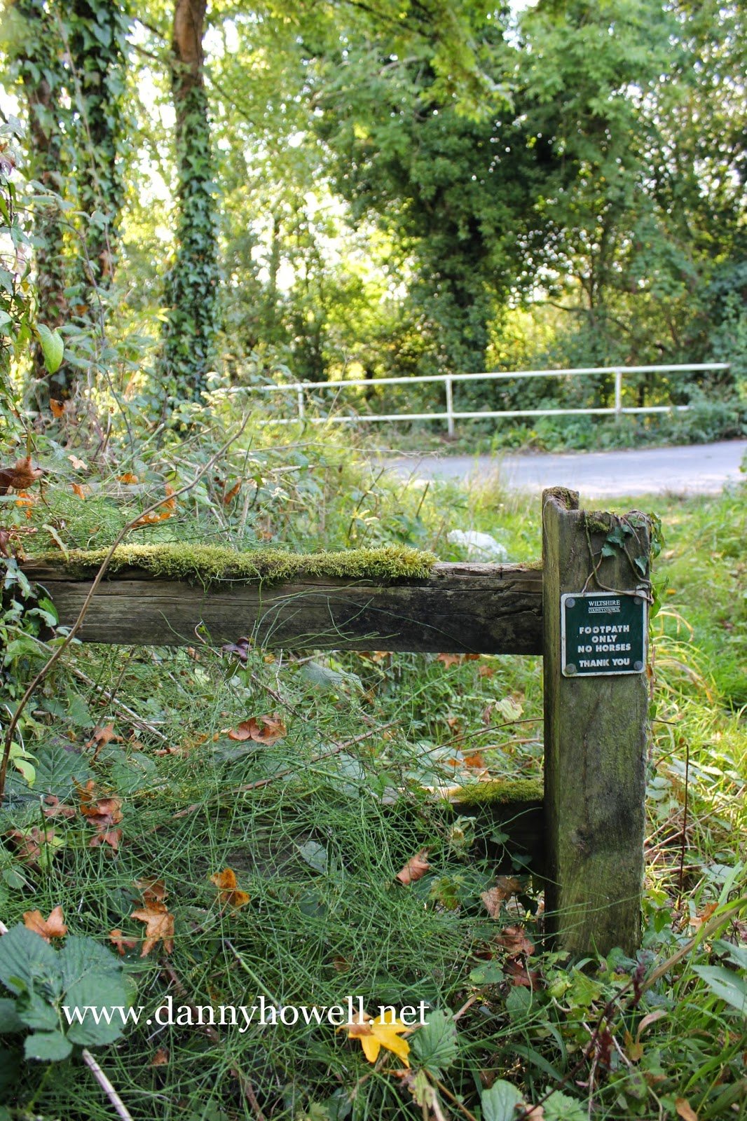
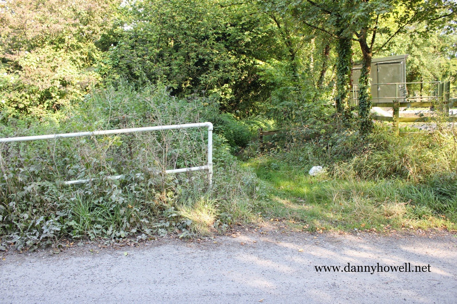
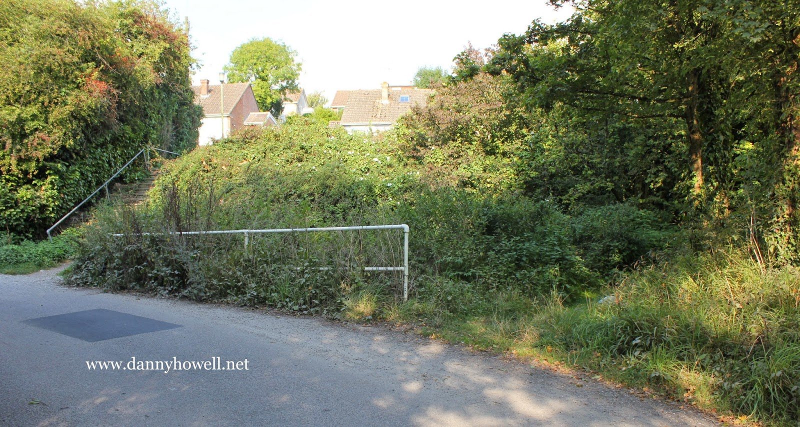
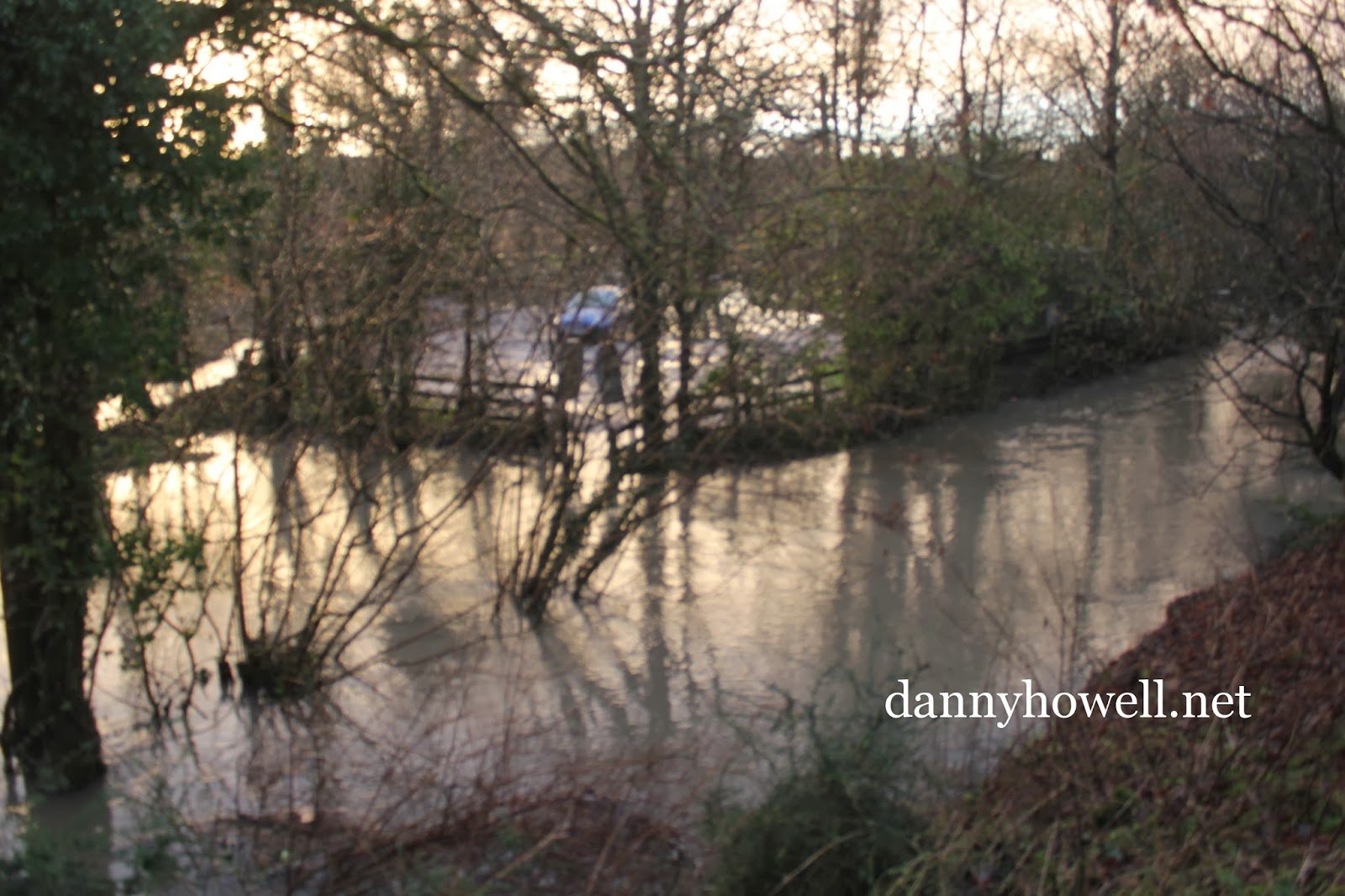
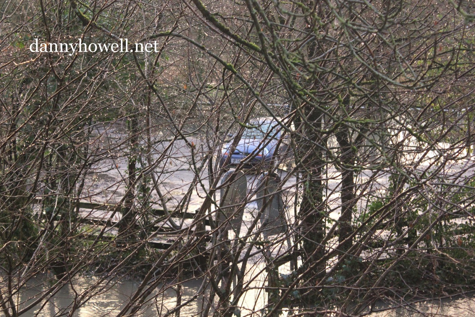
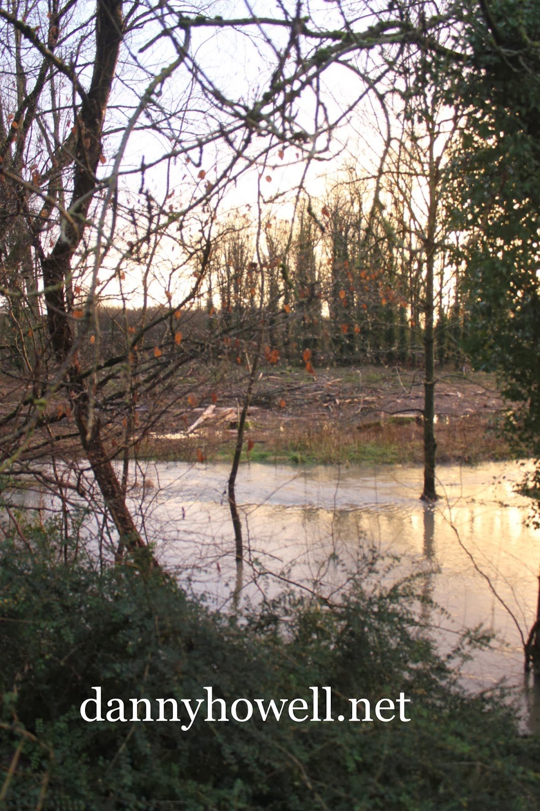
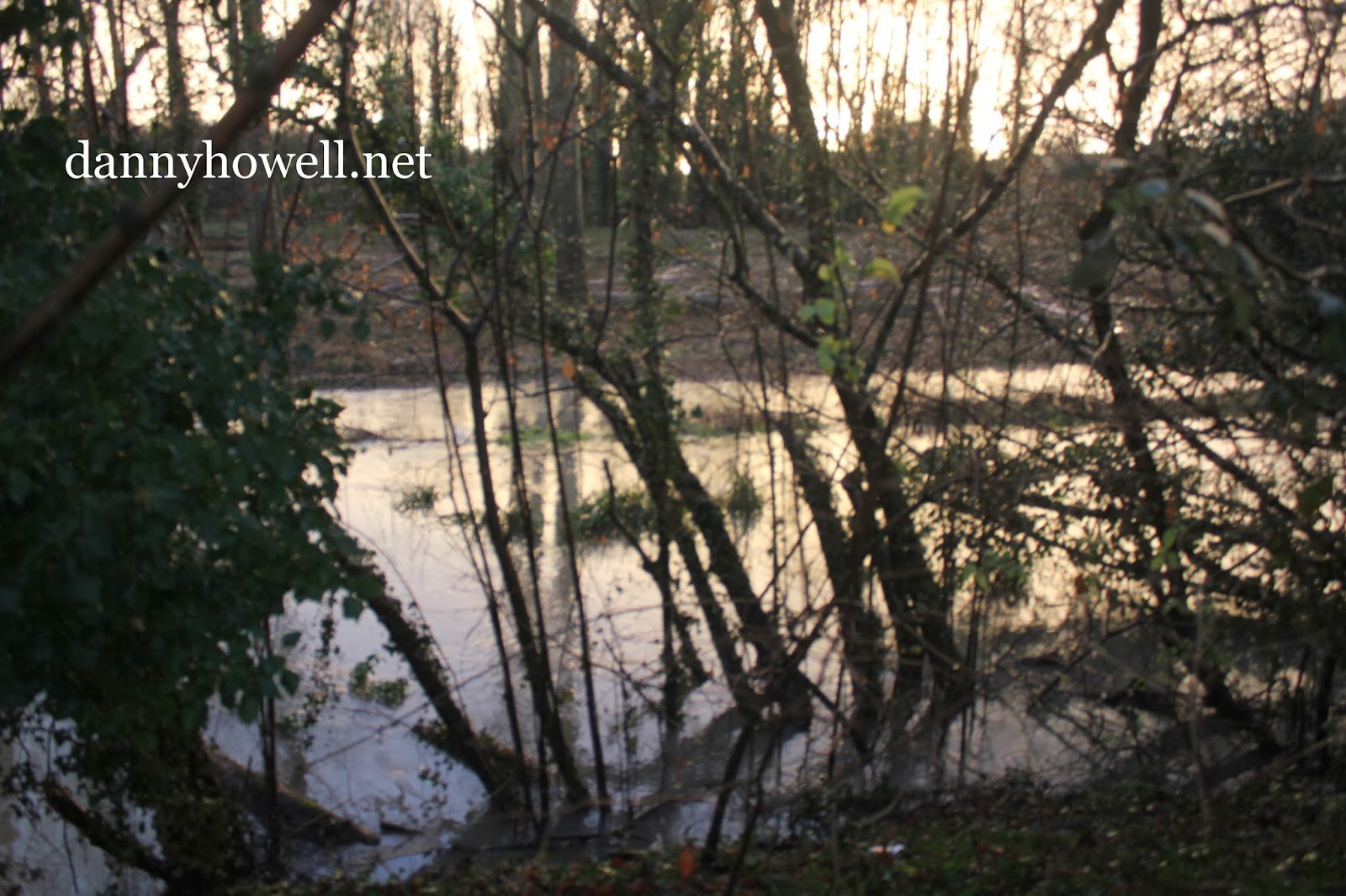
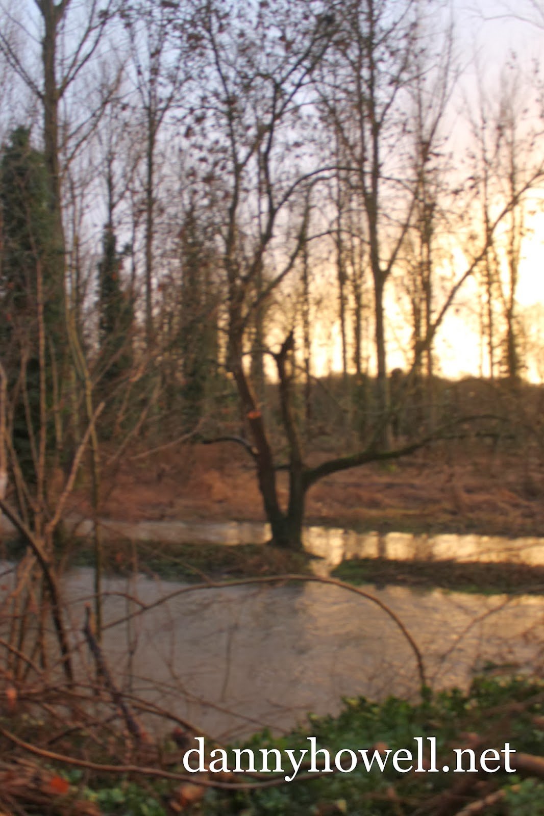
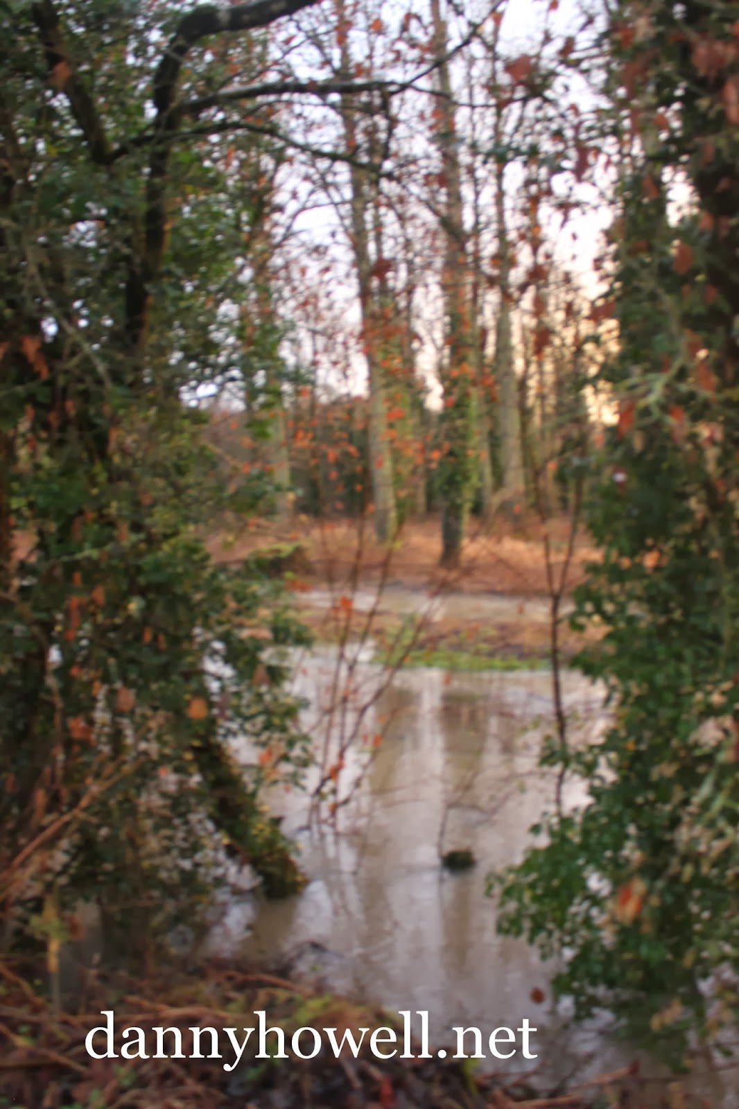
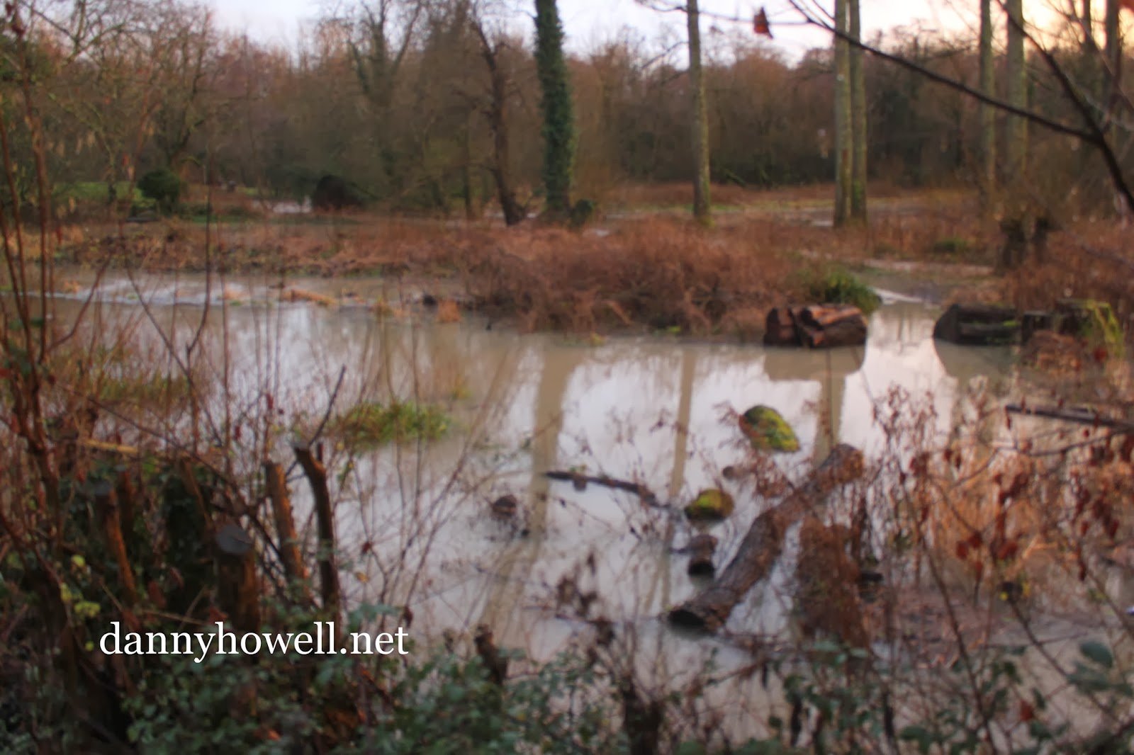
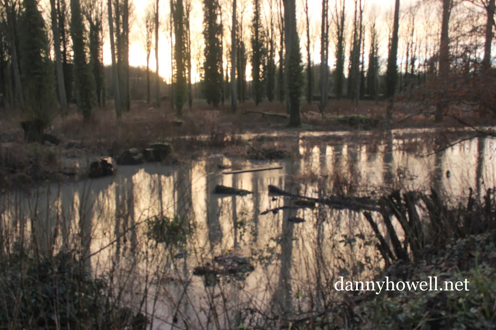
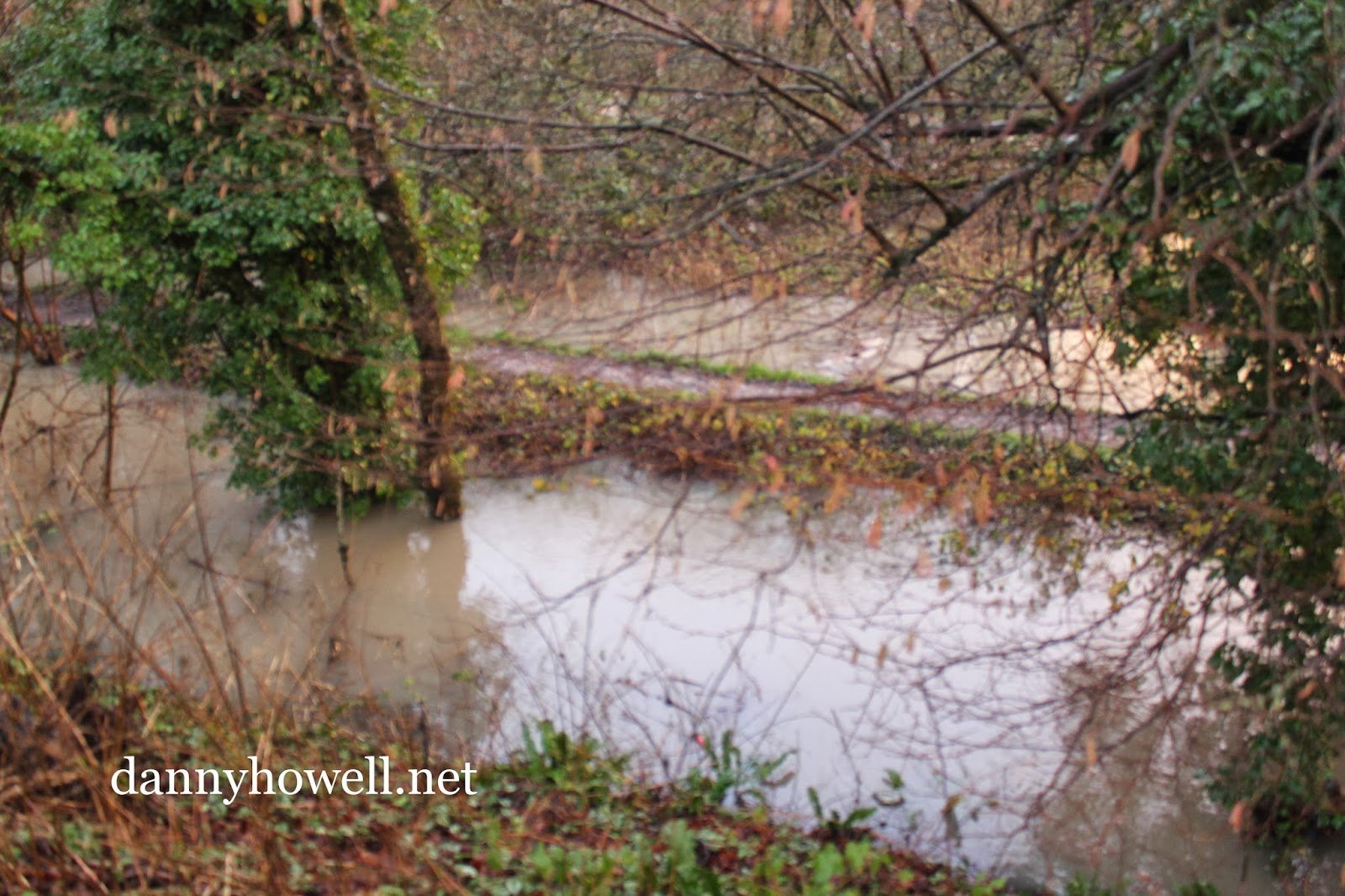
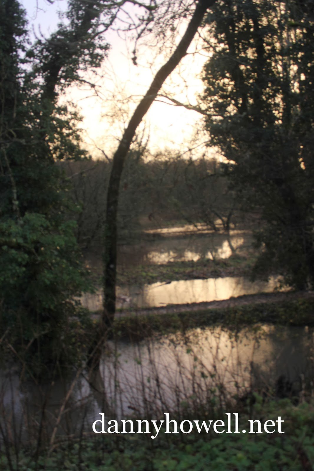
Saturday 4th January 2014
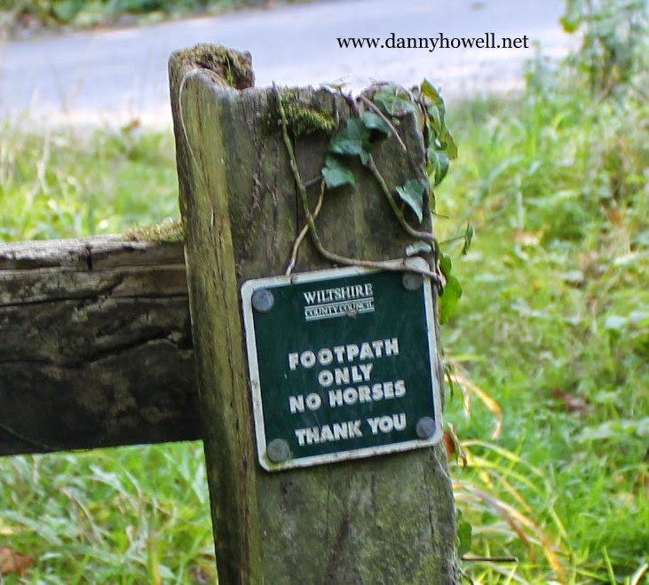
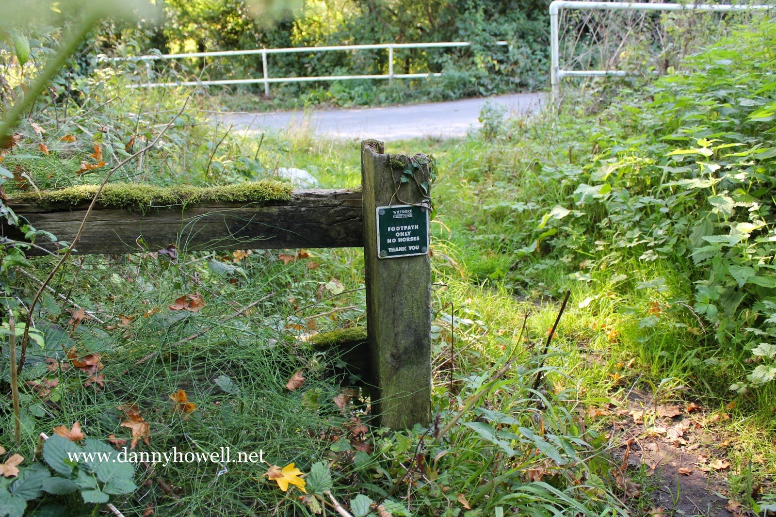
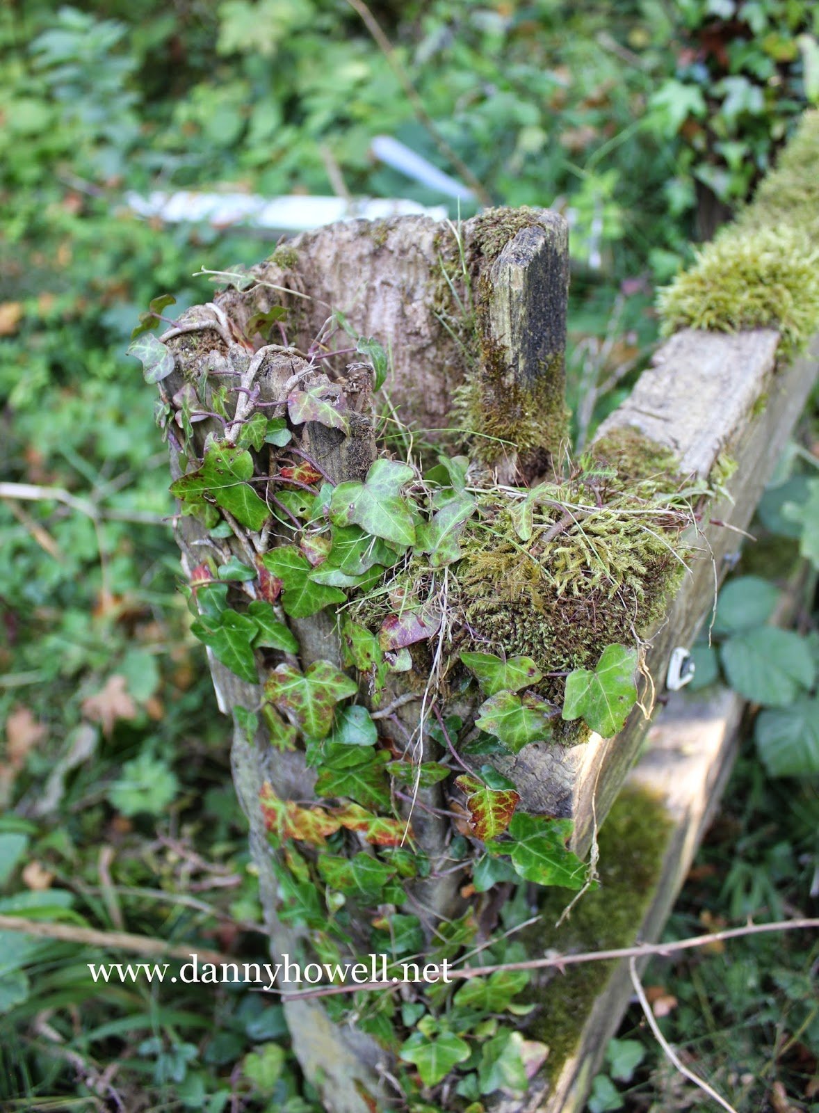
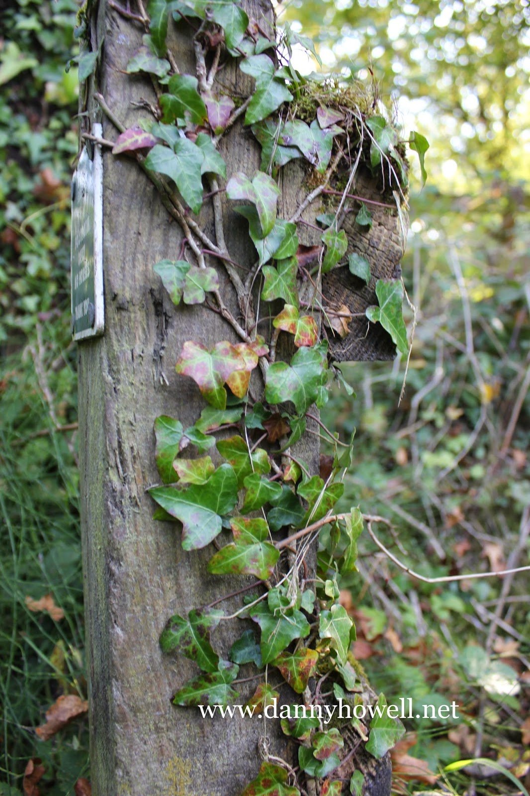
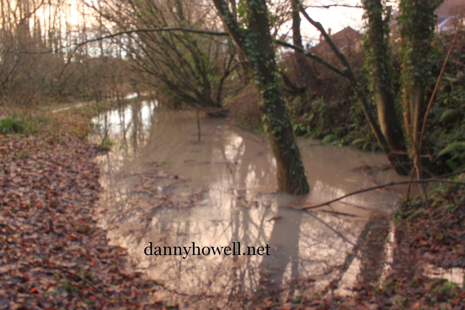
What is now a public footpath connecting the western end of Smallbrook Lane with Calveswater (adjacent the little car park for the Smallbrook Meadows Nature Reserve), Warminster, was prior to 1920 a cart track giving access from the west to Smallbrook Mill (now demolished). That cart track was called Goosey Lane, a name derived from its often waterlogged state in the winter. The name has long been forgotten by just about everyone except historians and map-lovers, but today, Goosey Lane, lived up to its old name, as it disappeared under the flood waters of the River Were. The following photographs, taken by Danny Howell, mostly from Willow Crescent, higher up and on the north side of the path, show Goosey Lane and its surrounds under water, because of heavy rainfall.