Dead Man’s Well Path, Warminster, 2025

Monday 2nd June 2025

Item 21 on the Agenda for a meeting of the Town Development Committee of Warminster Town Council, held at the Civic Centre, Warminster, on the evening of Monday 2nd June 2025, was: “Rights Of Way Volunteers. To note the update from the Rights of Way Volunteers.”

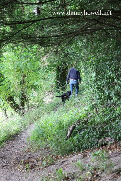
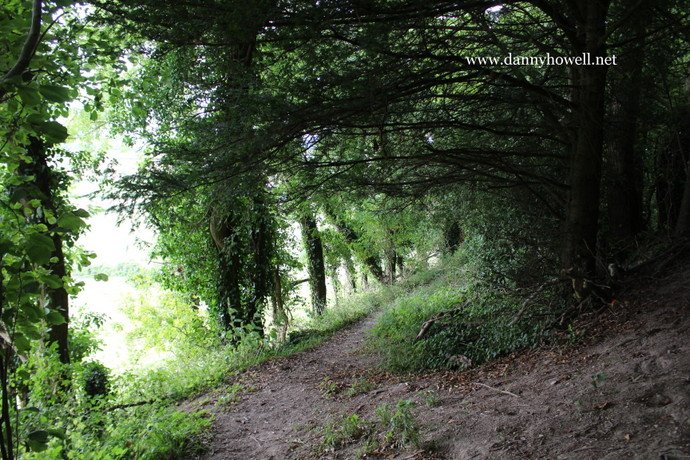
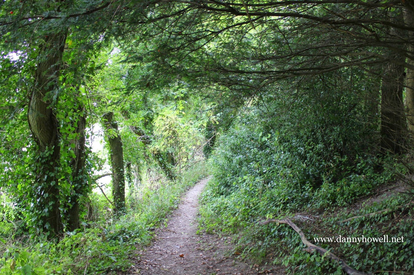
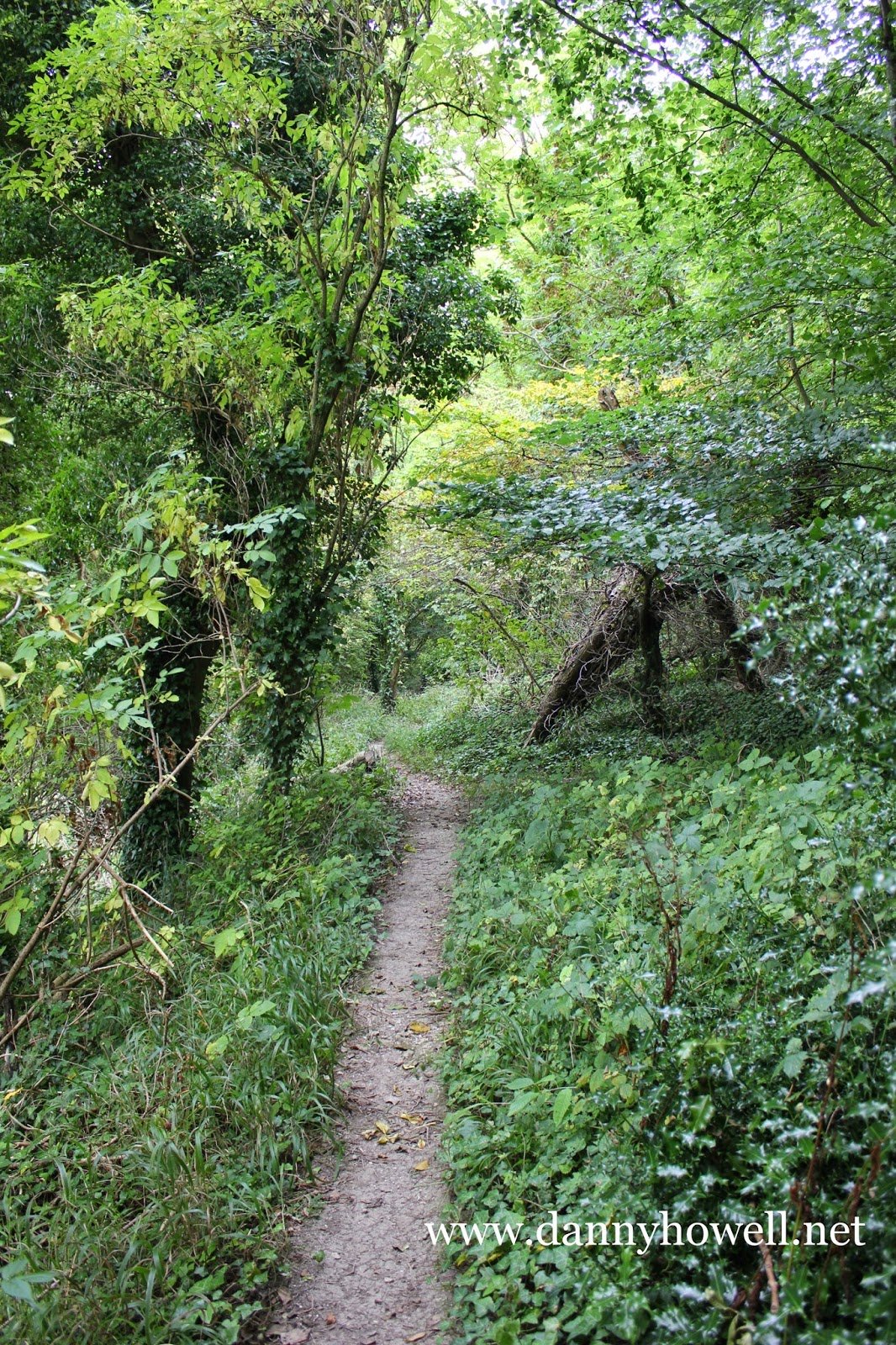
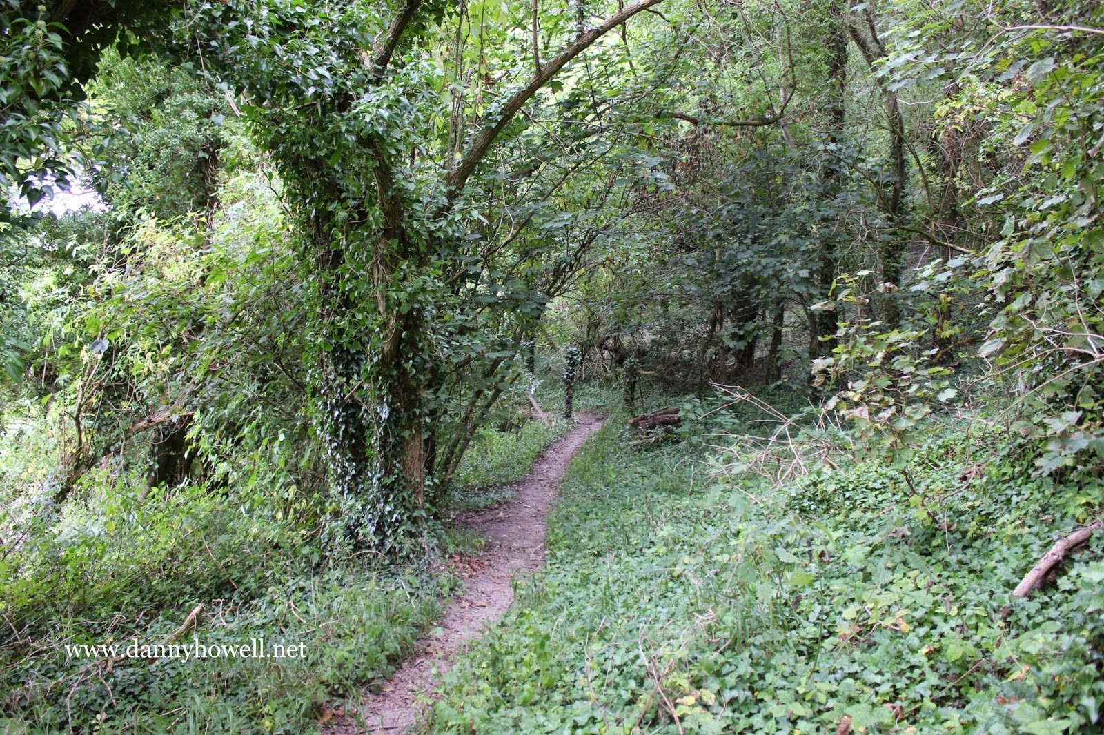
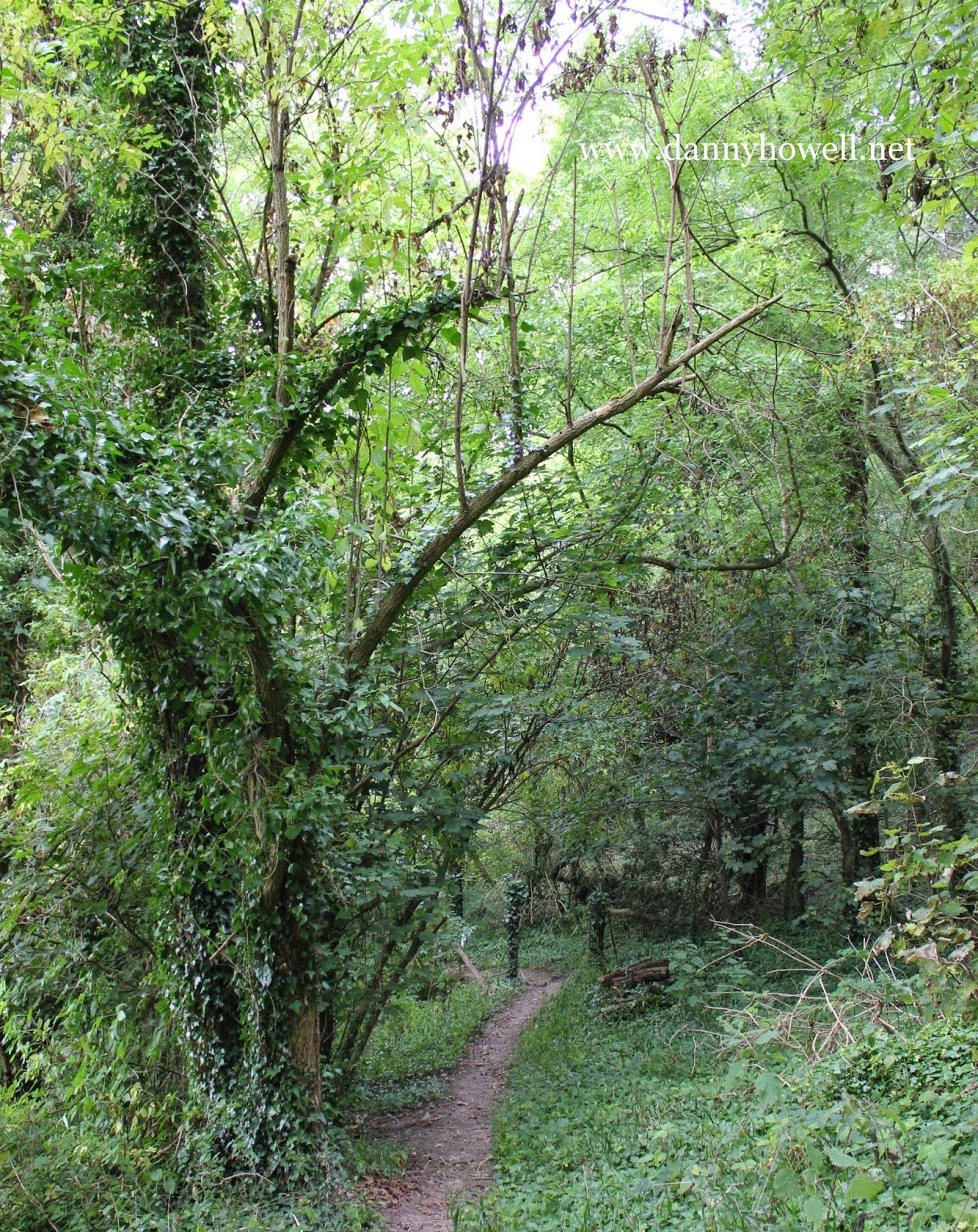
The Rights Of Way Volunteers presented a Warminster Rights Of Way Maintenance Analysis, which included the following information for Dead Well Path:

Ser. 24
Parish number: WARM 27.
Name: Dead Man’s Well Path.
Status: Footpath.
Length (m): 731.
Surface: Earth.
Remarks: From WARM 26 to Colloway Drive inside the tree line. A twisting path with a steep drop over the edge. Mowed at least in part by Nigel Linge.

The Eastern End Of Dead Man’s Well Path, Warminster

Wednesday 10th August 2016

 The eastern end of Dead Man’s Well Path
(Footpath No.27 on the definitive rights
of way map produced by Wiltshire Council)
on Arn Hill, Warminster.
It passes Dead Man’s Well
before the path ends at Colloway Drove.

 Photographs taken by Danny Howell
on Wednesday 10th August 2016.

Dead Man’s Well Path, Warminster

Friday 12th September 2014

Dead Man’s Well Path,
on the lower part of the western side
of Arn Hill, Warminster.

Dead Man’s Well Path 
has been designated ‘Footpath No.27’
on the definitive rights of way map
produced by Wiltshire Council.

The five photographs featured on this
website post were all taken along the
eastern stretch of
Dead Man’s Well Path.

 The route of Dead Man’s Well Path
forks left (west) off the Nun’s Path
(Footpath No.26) on Arn Hill 
and takes the walker to Colloway Clump
and the Colloway Drove (Footpath No.28).

The path takes it name from Dead Man’s Well
which is located near the south-west
corner of Arn Hill Down. The path
passes by the now long-disused well.

 Photographs taken by Danny Howell
on Friday 12th September 2014.