A Strategic Issue Which Impacts All Sites At Warminster Is That Of Phosphates Pollution Entering The River Wylye


July 2023

From Wiltshire Council’s Planning for Warminster â€“ a guide (published in July 2023) to how the Local Plan Review (‘the Plan’), which will replace the Wiltshire Core Strategy, will affect the town over the coming years.

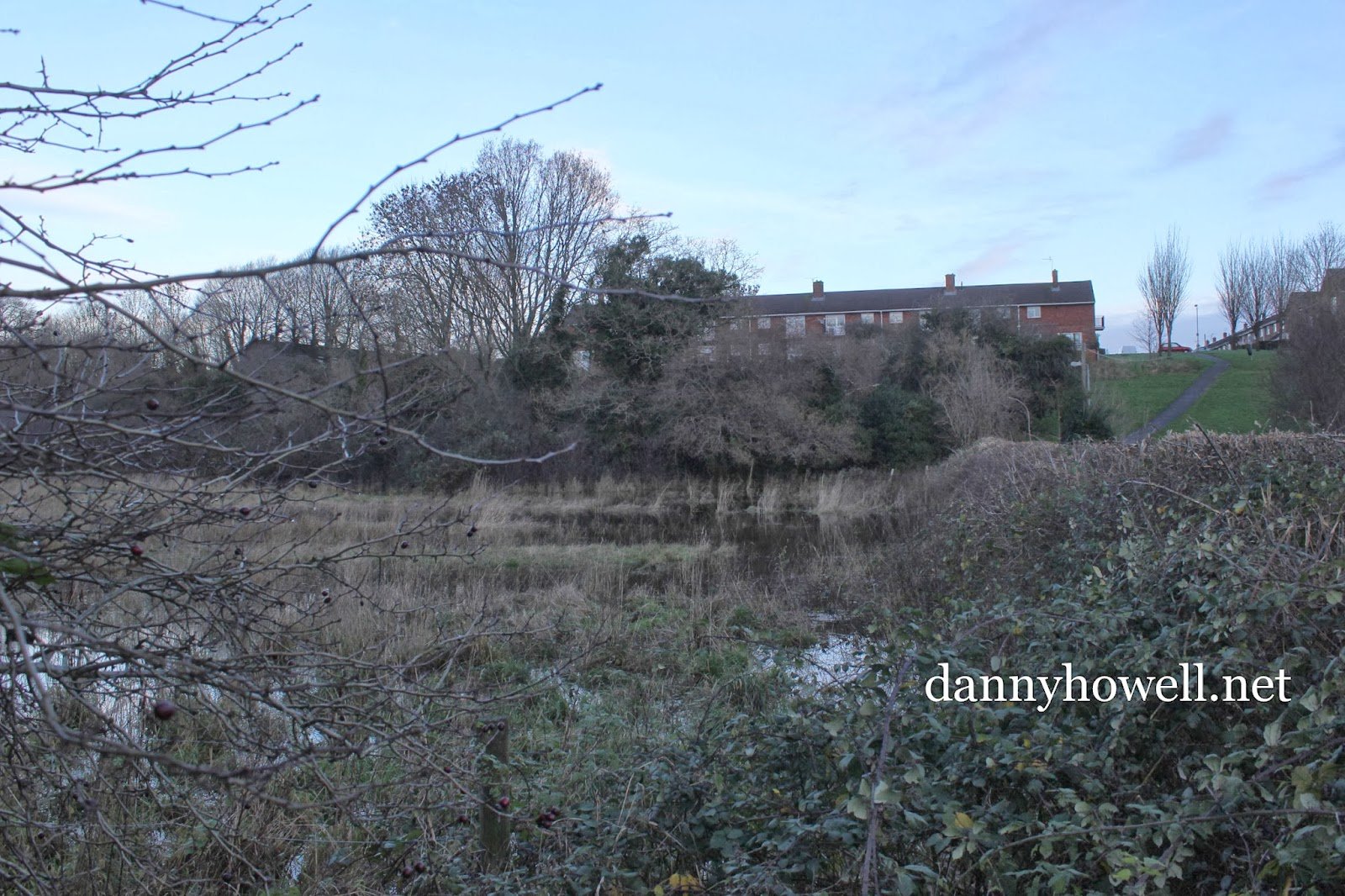
A strategic issue which impacts all sites at Warminster is that of phosphates pollution entering the River Wylye, which forms part of the internationally designated River Avon System SAC. Being located close to the headwaters of the River Wylye, there are limited sites which can provide for mitigation of phosphates entering the watercourse, which represents a barrier to further housing development at this time. It may be possible for development
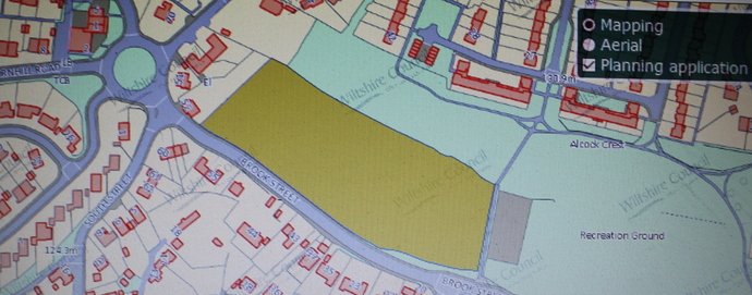
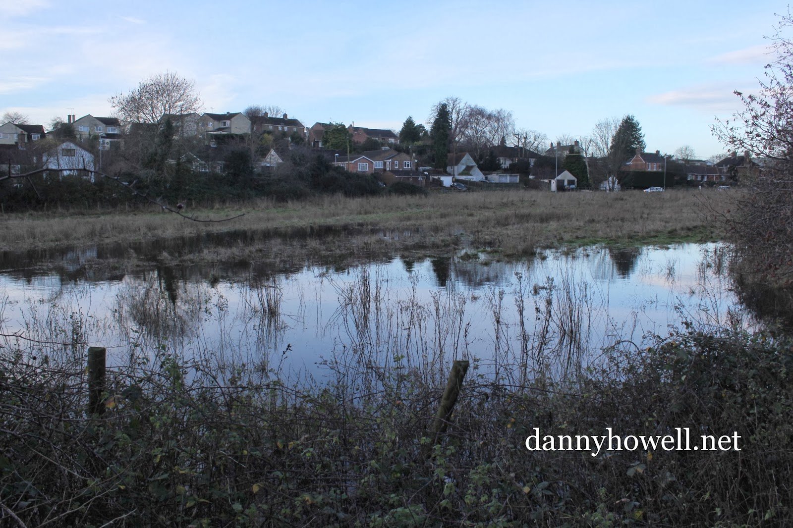
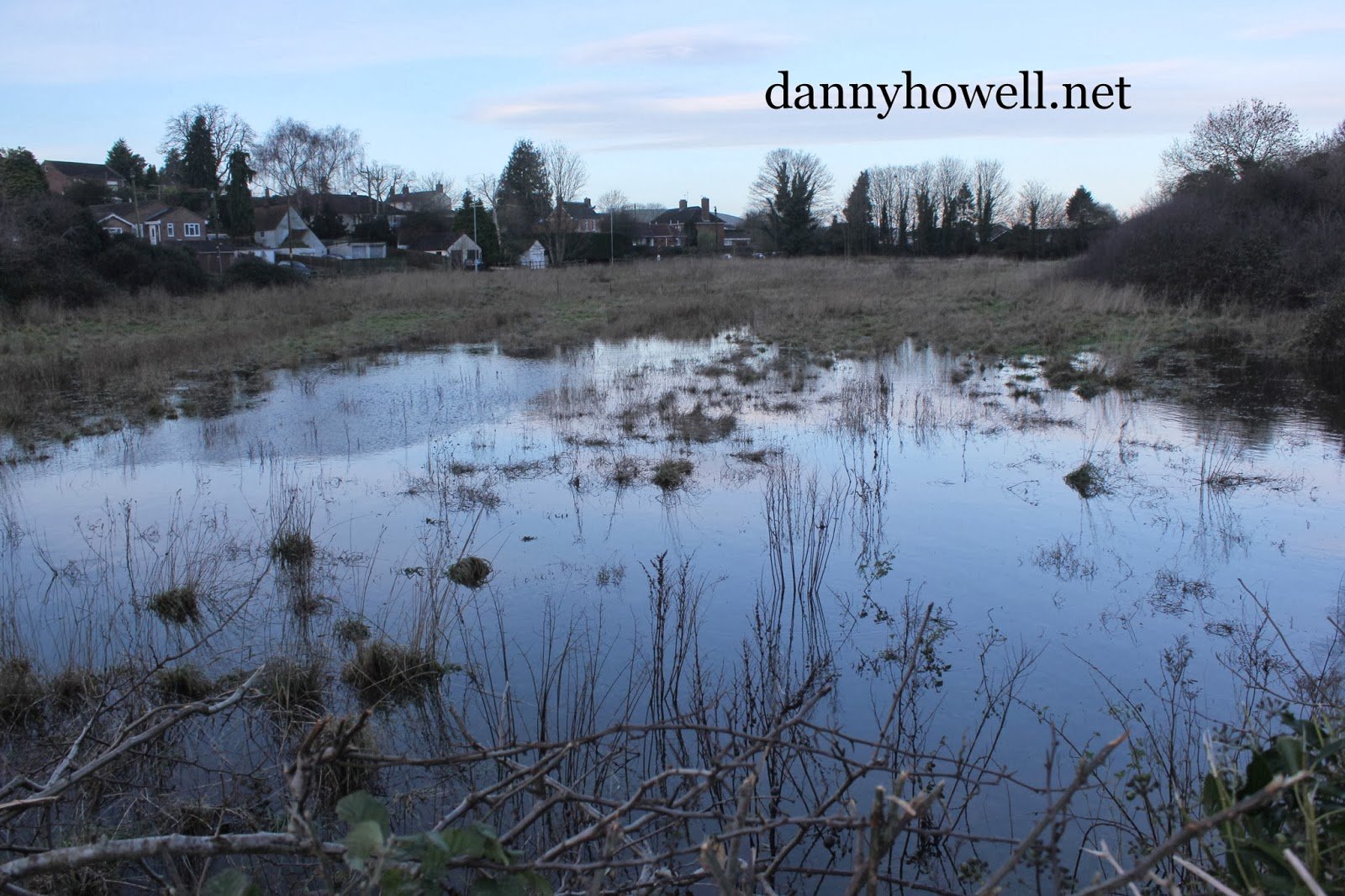
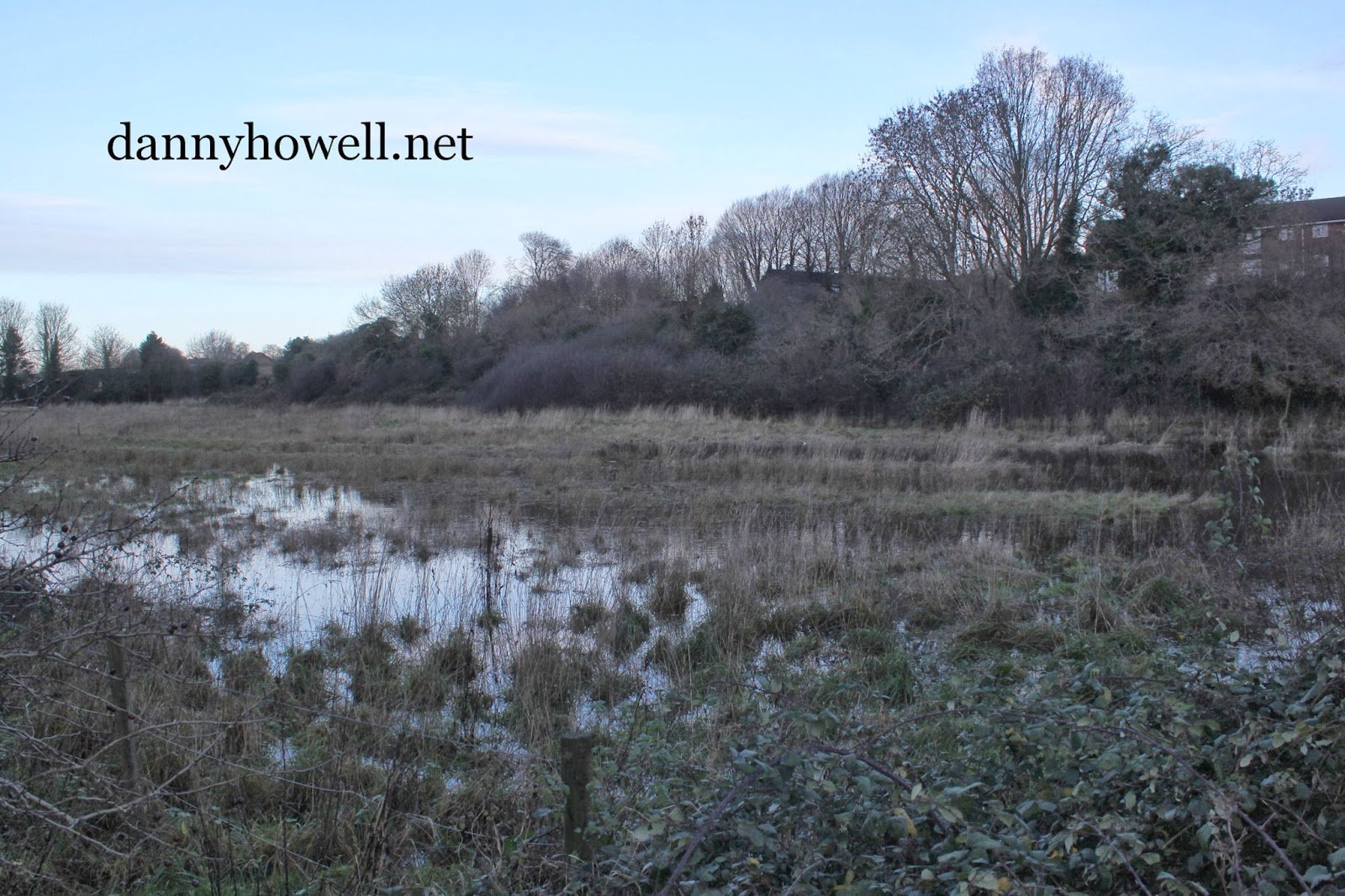
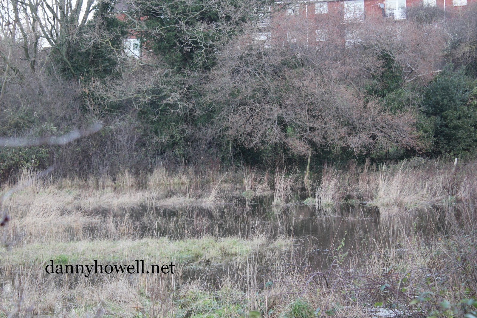
proposals to demonstrate bespoke solutions to the issue of phosphates pollution entering the watercourse, but there is insufficient certainty that this will be the case for the allocation of further sites through the Local Plan. The Local Plan does propose the allocation of a parcel of land on Land at Brook Street for the delivery of wetland to enable phosphate mitigation, to
assist in offsetting the nutrient impacts of planned development at Warminster. This land is to be safeguarded from alternative uses, in order to enable implementation of a mitigation strategy for the town.

Outline Planning Application Submitted For Nine 2-Bedroom Dwellings On Paddock Land West Of The Playground At Brook Street, Warminster

Thursday 6th September 2018

 Map on the Wiltshire Council Planning site showing the land west of the playground, Brook Street, Warminster.

An outline planning application has been submitted to Wiltshire Council for the erection of nine 2-bedroom dwellings with associated parking, plus hard and soft landscaping, on land west of the playground at Brook Street, Warminster, BA12 8DW. (18/07940/OUT).

The applicant is Mr Nigel Weir of Charter House Planning and the agent is Dan Roycroft of the Atlas Planning Group Ltd., Bodenham House Barn, Bodenham, Salisbury, SP5 4EN.

The dwellings will be of red brick, with tiled roofs, and the number of parking spaces will be 18.

Comments on this application can be made to Wiltshire Council until Friday 28th September 2018. The target date for a decision is Friday 12th October 2018.

The land has been known to flood. Earlier this year, in May, local people noticed an excavator in the paddock. When asked by a passer-by if the work was for housing development, one of the workmen replied: “We are only levelling out the rough areas of the land, so that the field can be re-seeded.”

 An excavator at work in the field at Brook Street, Warminster, in May 2018. Photograph taken by Danny Howell.

The land, which is described as “paddock land” in the application (submitted 17th August 2018), measures 1.32 hectares, and is owned by Caroline Cockcroft of Trem Llyn, Old Llanfair Road, Harlech, Gwynedd, LL46 2SS.

A previous application by Caroline Cockcroft, on the same site, for 28 sustainable and affordable market and social dwellings, recycling store building, access road and car parking plus flood alleviation measures, submitted in June 2011, was refused in 2013 (following an appeal by the applicant). (W/11/01746/OUT).

An earlier application, for residential development of the land, submitted by Bass Holdings Ltd., was refused in May 1989. (W/89/00223/OUT).

To see plans and documents on the latest application, click on:

https://unidoc.wiltshire.gov.uk/UniDoc/Document/Search/DSA,891317

//planning.wiltshire.gov.uk/Northgate/PlanningExplorer/Generic/StdDetails.aspx?PT=Planning%20Applications%20On-Line&TYPE=PL/PlanningPK.xml&PARAM0=891317&XSLT=/Northgate/PlanningExplorer/SiteFiles/Skins/Wiltshire/xslt/PL/PLDetails.xslt&FT=Planning%20Application%20Details&PUBLIC=&XMLSIDE=/Northgate/PlanningExplorer/SiteFiles/Skins/Wiltshire/Menus/PL.xml&DAURI=PLANNING

The Field On The North Side Of Brook Street, Warminster, Is Being Prepared For Re-Seeding

Tuesday 8th May 2018

An excavator at work in the field on the north side of Brook Street, Warminster. A workman said that the work was nothing to do with development but that the field was being prepared for re-seeding. The excavator could be seen levelling out some of the former water-meadow channels.

 Photographs taken by Danny Howell on Tuesday 8th May 2018.

Sue Storey Wants To Know Who The People Are In Her “Junk Shop” Warminster Photograph

Tuesday 10th January 2017

Sue Storey writes ~

“Hi Mr Howell, I found this old photo many years ago in an old frame I bought in a junk shop. I couldn’t bring myself to throw it away. It says Warminster on the mount and a bit of a name, shown, which could be the photographer.”

“I’ve shown it on a genealogy site on Facebook recently, to great interest, and your name came up on one of the suggestions when someone said it looked as if it had been taken at a brick works. I’d love to trace the family. Have you any ideas?”

 
Danny Howell replies ~

“Hello Sue Storey, Thank you for letting me see the photograph. Very interesting. I would say that the clothes the people are wearing dates it between c1900 – c1910. The style of the photo is very much in keeping with that of Samuel Burgess (born 1864, died 1932). I have over 100 photos by him of family groups (nearly all unnamed) in and around Warminster. Sam Burgess took many photos of family groups outside where they lived. Yours is most similar. I note that the name Burgess is indeed on the back of the photo in the second pic you sent me. You can read about Sam Burgess on my website. Click on this link: http://www.dannyhowell.net/1970/08/sam-burgess-18641932.html

Sam Burgess had a shed for photography in the back garden of his home at 3, 4 & 5 Brook Street, Warminster Common. He and his wife had a grocery shop at 3, 4 and 5 Brook Street as well. The bulk of Sam Burgess’ photos were taken between 1900 and 1910 and nearly all were taken at Warminster Common, Warminster itself, Crockerton and Corsley.

Of course, it is going to be very difficult, nigh on impossible to know who the people are in your photo. Likewise the location is unknown. There is nothing to suggest it is at a brick works as has been said to you. There is nothing in the photo to help us much. There is a  rubble stone wall in the background (the end of a building) but rubble stone was a common building material in the Warminster area.

I hope this information helps you. Cheers, and thanks again for letting me see the photo.”

Brook Street, Warminster, To Be Closed From Tuesday 15th March 2016 For A Maximum Of Five Days

Friday 11th March 2016

Brook Street, Warminster, will be closed (for road works) from Tuesday 15th March 2016 for a maximum of five days. 

Wiltshire Council
Section 14(1) of the Road Traffic Regulation Act 1984
Urgent Closure of Brook Street, Warminster.

THE WILTSHIRE COUNCIL HEREBY GIVE NOTICE that on 15th March 2016, the following length of road shall be closed to all traffic in the interests of public safety to enable Wiltshire Council to carry out carriageway repairs and associated works.
UC Brook Street, Warminster. Between its junctions with South Street and King Street.

Alternative route:
Via Pound Street – West Parade – Sambourne Road – Deverill Road and vice versa.

The closure will be clearly indicated by traffic signs throughout the works period.

This closure notice comes into effect on 15th March 2016, for a maximum of 5 days; however it is anticipated the work will take 1 day to complete.

For further information regarding these works please contact Atkins on 01225 730360 or 01225 777234.
Sustainable Transport Group, County Hall, Bythesea Road, Trowbridge BA14 8JN.

Sodden And Flooded At Brook Street ~ Another Place Not For Building On In Warminster

Tuesday 24th December 2013

The watermeadow on the north side of Brook Street, Warminster, sodden and flooded, yet this is another of the waterlogged sites in Warminster that developers would like to build homes on.

Photographs taken by Danny Howell on Tuesday 24th December 2013 (Christmas Eve).

Torrential rain yesterday afternoon and last night shows the mire this land becomes in extreme weather conditions.

Water water everywhere. Photographic proof this is definitely not a suitable site for residential development.

This watermeadow (with the Fore Street Playing Field next to it) forms the flood plain of the Cannimore Stream prior to the stream entering the Lower Marsh area.