Blog

A Plea To Dog Walkers

Wednesday 25th February 2026

A message from Botany Farm, Warminster:

We own, and have done so for a while now, Botany Farm.

This is a plea for all dog walkers – we have a bridle path and a footpath, opposite sides of the fields to the rear of the farm. These fields are working fields for hay and haylage growing, used for competition horses and cattle. They ARE NOT exercise areas for you to throw a ball for your dog or for you to allow your dog to pee and poop in. This contaminates the hay and in turn we not only lose money but customers as well.

The Countryside Code stipulates that dogs must be kept under “effective control” at all times to prevent them from worrying livestock, disturbing wildlife, or ruining crops.

While on a public footpath, you must keep your dog under close control and on a lead if you cannot guarantee it will return immediately on command. We also have mares which are in foal. It is a criminal offence to let your dog be out of control within the compounds of livestock. Please, please adhere to the rules. Action will be taken if you fail to do so. Please also close the gates behind you.

We are currently fencing off these paths in places, at my expense, so beware of machinery, and do not be abusive to the workers who are doing the job. Thank you.

Chalk And Cheese

Tuesday 24th February 2026

I paid £3 for a book that is at least 125 years old, at the British Red Cross charity shop, Three Horseshoes Walk, Warminster, this morning.

Titled Our Own Country, Descriptive, Historical, Pictorial, it is one of a six-volume set of books published by Cassell, Petter, Galpin & Co., during the 1880s and 1890s. The writers of the illustrated articles in these books are not credited.

The volume I have acquired begins with an article about Salisbury Plain and Stonehenge. The first sentence of this article reads: “It is not unfitting that a book in which it is proposed to describe the most interesting and important sites of Great Britain should, in its opening pages, deal with Salisbury Plain.”

Here is an extract from the article, referring to the landscape of Salisbury Plain:

A century ago there was little touch of cultivation about Salisbury Plain. Sheep in the summer, and flock of bustards in the winter, were, in Drayton’s words, the “burgesses of the heath;” and a journey across it, even in fine weather, was not undertaken without some risk of losing the way.*

This condition of things has entirely changed. Good and broadly-marked roads traverse the plain in all directions, whilst corn-fields and tilled land have greatly encroached on it, stealing upwards from the surrounding valleys. But the general outline of Salisbury Plain is still sufficiently marked. It is the southern division of the two great divisions of the chalk in Wiltshire.

The northern division forms what is known as the Marlborough Downs, and its escarpments are far bolder than those of Salisbury Plain, from which it is divided by the Vale of Pewsey, which extends across the centre of the county, and is scooped out of the upper-greensand.

The southern chalk district extends from Salisbury in a line bearing north-east, by Amesbury and Sidbury to Easton Hill, where there is a wide view of the Pewsey valley, with the opposite heights of Marlborough, scarred by the Wansdyke. Thence the chalk ranges westward, with a little inclination to the south, as far as Westbury and Warminster; and so returns, in a line bearing south-east, by Heytesbury to Salisbury. All along this border the bolder heights are marked by intrenchments – Battlesbury, Scratchbury, Chisenbury – which overlook the richer country, and served as watch-towers for the ancient people of the plain.

In shape, this plain is an irregular triangle, whilst the length of each side may be roughly estimated at about twenty miles. Of its general character we shall better judge in passing over it toward Stonehenge. The chalk mass of the plain is pierced by the Bourne brook, by the Wily [Wylye], the Nadder, and the southern Avon, all of which meet in the neighbourhood of Salisbury. These river-valleys, in their quiet beauty, their hamlets nestled among trees, their venerable mansions, their broad meadows, through which the stream flows onward between tufts of purple loose-strife and great masses of sword-flag, contrast pleasantly with the open heights of the downs.

It is held, however, that the influence of the chalk is felt throughout Southern Wiltshire, and that the sharp division of the county is between the chalk district generally and that north of the Marlborough Downs, where the land for the most part lies on Oxford clay. Wiltshire is thus divided between “chalk” and “cheese” – for the northern district is a great dairy ground.

*Thus Mr. Pepys and his party, journeying from Salisbury toward Somersetshire, lost their way on the plain, and were obliged to spend the night in a strange town [Chitterne].

PCSO Moore On Foot Patrol In Westbury

Tuesday 24th February 2026

From the Facebook page of Westbury Police:

Another day, another opportunity to get out and about in the community.

PCSO Moore’s first foot patrol of the shift today (24/02/26) involved a stroll around Westbury Town, along the High Street and through the Market Place.

A quick stop in at All Saints Church and then along the Bratton Road and through Bitham Park, chatting to residents and shoppers alike.

This is a big part of the role of a PCSO, so if you see one of the team when they’re out and about, come and say hello!

Westbury Police

PC Walsh Out On Patrol

Tuesday 24th February 2026

From the Facebook page of Westbury Police:

PC 70948 Walsh was out on patrol on Monday night (23/02/26) visiting several places across the patch.

First was a stop to Smallbrook in Warminster to check the road closure for Toad Watch and was pleased to report that the closure was being adhered to during the visit.

Following that, a stop off was made to Morrisons and The Civic Centre to carry out a targeted patrol due to recent ASB concerns.

Carrying on her journey, she visited Tesco Express in Leigh Park Westbury and spoke to staff who reported that there hadn’t been any major issues recently and came across a wonderful, crafted crotchet figure!

If you ever see officers out and about, please say hi and we are always happy to stop and chat.

Westbury Police

www.facebook.com/WestburyPolice

A Pile Of Sticks Or A Home For Beavers?

Saturday 21st February 2026

From the Facebook page of the Wiltshire Wildlife Trust:

Just a pile of sticks and branches? Or how about a home for beavers?

When out on the Wylye on the Longleat estate, our Water team discovered this rather impressive beaver lodge!

Beavers’ lodging and dam building brings a number of benefits, from flood mitigation to improved water quality to habitat restoration.

They’ve certainly been busy! Find out more about these incredible creatures here: https://www.longleat.co.uk/news/beavers-at-work

Codford St. Mary Mentioned In Upstairs Downstairs

Friday 20th February 2026

They’ve been repeating the television series Upstairs Downstairs on television. The series was made in the 1970s and portrays the lives of the Bellamy family and their servants.

One of the episodes I saw recently was The Beastly Hun (Series 4, Episode 3). Written by Jeremy Paul, it is set in May 1915, and in London there is much anti-German feeling and talk of spies.

Edward Barnes, the footman, has enlisted and is away serving in the army.

In one scene, his wife Daisy (played by Jacqueline Tong) goes to a local bakery to buy bread from Albert Schoenfeld (played by Gertan Klauber).

As Daisy goes to leave the shop, Mr. Schoenfeld asks her: “How is Edward getting on?” Daisy, having reached the door of the shop, replies: “Oh, alright. I get nice cheerful letters.” Mr. Schoenfield says: “From the Front, eh?” Daisy answers: “No, Codford St. Mary, his camp on Salisbury Plain.” Mr. Schoenfeld remarks: “Tell him to stay there.” Daisy responds: “I will. Bye!”

Did You Know That Development In One Part Of Warminster Can Cause Severe Flooding Elsewhere In The Town (Possibly Near You?)

Friday 20th February 2026

From the Facebook page of EBBRAG:

Photo: Flooding at Boreham.

Did you know that development in one part of Warminster can cause severe flooding issues elsewhere in the town (possibly near you?)

Developers are only required to consider potential flooding issues at the site they are developing. Because of the geography of Warminster, the additional water generated by extra homes actually all drains towards and raises the phosphate levels of our River Wylye, a unique, internationally recognised chalk stream and this additional water also causes significant flooding issues along the way.

This isn’t at all surprising when you consider that National Statistics estimate that all these new homes would generate in the region of over 700,000 extra litres of waste water per day.

We are only required to add 90 new homes to Warminster in the next 10 years+, why would we risk our local environment by piling in so many more new large scale developments? We need to remove site selection from the draft Neighbourhood Plan now!

Warminster needs YOU to find a voice.

As a resident of Warminster, you will already be aware of the huge West Warminster Urban Extension/Jubilee Gardens where 1000 new homes are currently being built, with another 500 due by 2042. Did you also know that a further approximately 700+ houses are at the planning stage?

  • Cley Hill View, 227 homes already approved and being advertised.
  • Ashley Coombe, 77 homes; planning permission applied for.
  • Westbury Road, 205 homes; rejected once in 2025, outline planning applied for again.
  • Home Farm, 135 homes; planning application expected imminently (the Neighbourhood Plan suggests 90 but the developer Bellway Homes would like 135).
  • Grovelands, 68 homes; building already started.

Are these homes ALL really needed?

Are they being planned in a responsible and sustainable way?

They are all eating up green areas, rather than using brown field sites.

What impact will these developments have on the lives of people already living in our town?

Despite what the Town Council would have us believe, a Neighbourhood Plan does not offer Warminster protection against these speculative development bids.

The whole premise of naming a potential site in the Neighbourhood Plan is to offer legal protection for the rest of Warminster for up to five years. Consider this example – Melksham Parish Council had an adopted Neighbourhood Plan, fully supported by local residents which excluded a site Snarlton Farm from designated building. On appeal, the developer has now gone to The Secretary of State for Housing, taking the decision right out of local hands.

And consider this – by the time the current draft Neighbourhood Plan is finalised, it is likely that all of the developments listed above will already have gone through the planning process and have been approved, not just the one they have named.

What can you do?

  • Register on the EBBRAG website. Our contact form is here: https://www.ebbrag.com/contact/
  • Make it known to our Town Council that you do not support any more large scale developments, in the absence of improved infrastructure and local services. You can email the council here: admin@warminster-tc.gov

How?

Are You A Dog Walker, Hiker, Runner, Horse Rider, Cyclist Or Just Someone Who Enjoys Warminster’s Stunning Natural Landscape And Associated Wildlife?

Thursday 19th February 2026

From the Facebook page of EBBRAG:

Are you a dog walker, hiker, runner, horse rider, cyclist or just someone who enjoys Warminster’s stunning natural landscape and associated wildlife?

This photo was taken by the late Steve Climpson, who was passionate about protecting this landscape. It is the view from the public footpath adjacent the potential Home Farm development site. The view looks to Battlesbury Hill. The draft Neighbourhood Plan does not preserve the view from Battlesbury to Boreham and Bishopstrow, nor does it protect the Home Farm fields from development.

Developers are supposed to improve biodiversity and commit to providing community open spaces as part of their obligation to sustainable development, set out by Government legislation. In reality, they rarely do this. In effect, in their greed for money, natural landscapes are destroyed forever and many developers don’t even deliver the mitigations they agree to when planning permission is granted.

You can read more in our article on protecting the landscape: Red Kites And Rubble Stone – EBBRAG: https://www.ebbrag.com/boreham-history-the-unique-landscape-setting/

And for background on what Bellway, the potential developer of the Home Farm site, might be like: Bellway Homes for Warminster or would that be Hellway if it goes ahead? EBBRAG: https://www.ebbrag.com/bellway-homes-for-warminster-or-would-that-be-hellway-if-it-goes-ahead/

The other large scale developers sniffing around sites in Warminster are likely to be similar. We need to take out site selection from the draft Warminster Neighbourhood plan.

Warminster needs YOU to find a voice.

As a resident of Warminster, you will already be aware of the huge West Urban Extension/Jubilee Gardens where 1000 new homes are currently being built, with another 500 due by 2042. Did you also know that a further approximately 700+ houses are at the planning stage?

  • Cley Hill View, 227 homes already approved and being advertised.
  • Ashley Coombe, 77 homes; planning permission applied for.
  • Westbury Road, 205 homes; rejected once in 2025, outline planning applied for again.
  • Home Farm, 135 homes; planning application expected imminently (the Neighbourhood Plan suggests 90 but the developer Bellway Homes would like 135).
  • Grovelands, 68 homes; building already started.


Are these homes ALL really needed?

Are they being planned in a responsible and sustainable way? They are all eating up green areas, rather than using brown field sites.

What impact will these developments have on the lives of people already living in our town?

Despite what the Town Council would have us believe, a Neighbourhood Plan does not offer Warminster protection against these speculative development bids.

The whole premise of naming a potential site in the Neighbourhood Plan is to offer legal protection for the rest of Warminster for up to five years. Consider this example – Melksham Parish Council had an adopted Neighbourhood Plan, fully supported by local residents which excluded a site Snarlton Farm from designated building. On appeal, the developer has now gone to The Secretary of State for Housing, taking the decision right out of local hands.

And consider this – by the time the current draft Neighbourhood Plan is finalised, it is likely that all of the developments listed above will already have gone through the planning process and have been approved, not just the one they have named.

What can you do?

  • Register on the EBBRAG website. Our contact form is here: https://www.ebbrag.com/contact/
  • Make it known to our Town Council that you do not support any more large scale developments, in the absence of improved infrastructure and local services. You can email the council here: admin@warminster-tc.gov.uk

How?

Traffic Congestion In Warminster Is Getting Worse – Is Traffic Testing Your Patience?

Wednesday 18th February 2026

From the Facebook page of EBBRAG:

Traffic congestion in Warminster is getting worse – is traffic testing your patience?

According to National Statistics, if all the current planned developments go ahead, it will result in at least a further 1500 cars using the road network in our town. With more congestion at peak times this will increase air pollution.

According to these National Statistics, 34% of new households tend to have two or more cars and 44% one car. Only 22% of households have no car.

There is no justifiable reason for us to be flooding Warminster with so many large scale developments when we need fewer than 10 new houses a year to satisfy Wiltshire Council quotas. We need to remove site selection from the draft Neighbourhood Plan.

Warminster needs YOU to find a voice.

As a resident of Warminster, you will already be aware of the huge West Warminster Urban Extension/Jubilee Gardens where 1000 new homes are currently being built, with another 500 due by 2042. Did you also know that a further approximately 700+ houses are at the planning stage?

  • Cley Hill View, 227 homes already approved and being advertised.
  • Ashley Coombe, 77 homes; planning permission applied for.
  • Westbury Road, 205 homes; rejected once in 2025, outline planning applied for again.
  • Home Farm, 135 homes; planning application expected imminently (the Neighbourhood Plan suggests 90 but the developer Bellway Homes would like 135).
  • Grovelands, 68 homes; building already started.

Are these homes ALL really needed?

Are they being planned in a responsible and sustainable way?

They are all eating up green areas, rather than using brown field sites.

What impact will these developments have on the lives of people already living in our town?

Despite what the Town Council would have us believe, a Neighbourhood Plan does not offer Warminster protection against these speculative development bids.

The whole premise of naming a potential site in the Neighbourhood Plan is to offer legal protection for the rest of Warminster for up to five years. Consider this example – Melksham Parish Council had an adopted Neighbourhood Plan, fully supported by local residents which excluded a site Snarlton Farm from designated building. On appeal, the developer has now gone to The Secretary of State for Housing, taking the decision right out of local hands.

And consider this – by the time the current draft Neighbourhood Plan is finalised, it is likely that all of the developments listed above will already have gone through the planning process and have been approved, not just the one they have named.

What can you do?

  • Register on the EBBRAG website. Our contact form is here:  https://www.ebbrag.com/contact/
  • Make it known to our Town Council that you do not support any more large scale developments, in the absence of improved infrastructure and local services. You can email the council here: admin@warminster-tc.gov

How?

Warminster Town Council Gives 10 Objections To 77 Homes On Land Next To Ashley Coombe

Wednesday 18th February 2026

Press release from Warminster Town Council:

Town councillors have unanimously objected to a planning application for homes on land off Ashley Coombe in line with strong arguments from local residents at the Planning Advisory Committee on Monday 16th February.

The planning team heard from passionate residents who opposed outline planning application for the erection of up to 77 homes, public open space, landscaping and sustainable urban drainage system, with vehicular access off Ashley Coombe.

Cllr Phil Keeble explained: “The committee unanimously objected to the Ashley Combe application on numerous points planning reasons. The site was rejected by the Neighbourhood Plan process. It is exactly the sort of development we are seeking to avoid.

“We can’t stop developers putting forward sites hoping they will get planning permission, but if we allocate a site for 90 houses in the Neighbourhood Plan, we can get 5 years protection from such applications where the balance is tilted back in favour of the community. The Planning Advisory Committee takes its role seriously.”

“I hope the developer listens to the committee and the public and withdraws its planning application.”

The proposal concentrates all housing within a single zone served by a single access point. This design will funnel traffic into one location, significantly increasing vehicle movements and congestion in an already constrained area.

The access roads are narrow, winding, and include blind bends. The proposed junction with Deverill Road is located on the crest of a hill, creating poor visibility and a heightened risk of collisions.

The development will inevitably increase traffic onto the A36, a road that has experienced multiple serious collisions near Warminster in recent years.

The site is located at a significant distance from town amenities. There is no clear provision for safe cycle routes, and public transport availability is questionable, resulting in extra reliance on private vehicles.

2. The proposal puts housing within the buffer zone around the sewage work. The odour is likely to be a nuisance and the presence of swarms of flies will have a public health impact.

The log of sniff tests are woefully inadequate and contain no tests during the 5 hottest months of the year. The environment agency has received 182 complaints in the past 3 years.

Odour and safety impacts linked to the Malaby Gas Biodigester have not been assessed.

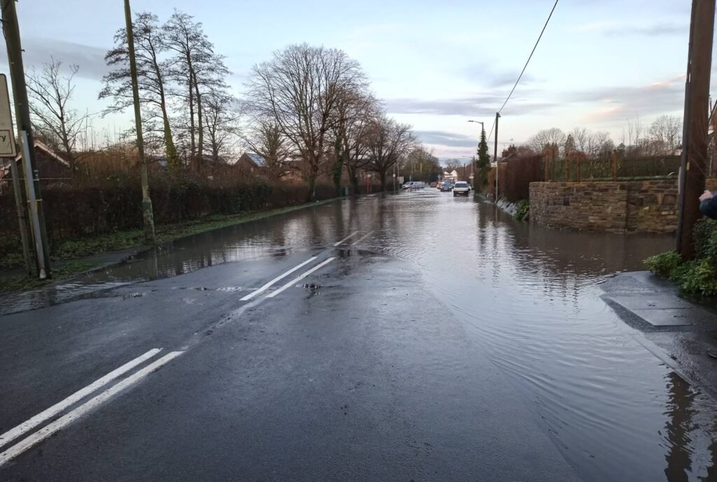
3. The site is close to the River Wylye, an SSSI and SAC. Run-off and pollution risks threaten this European-protected chalk stream. Run-off from roads and roofs of any new development on this site will enter the stream currently in Flood Zone 2.

Wessex Water is aware that Warminster already has ongoing issues. The site also overlies an important aquifer, posing contamination risks from clearance work, building and drainage from future dwellings. Buying offsite credits does not address the harm that would be done locally.

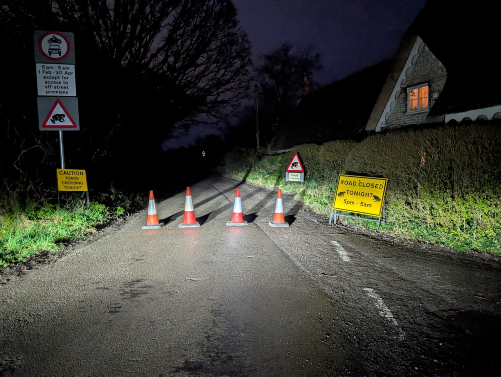
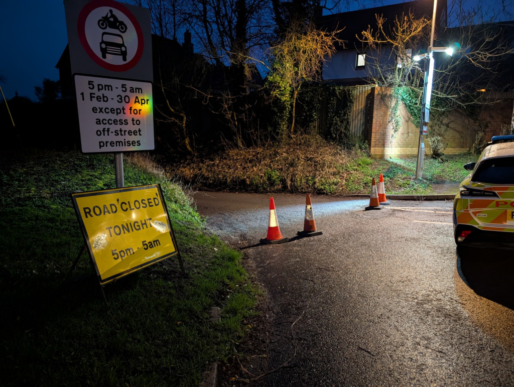
4. The site supports protected species such as newts, kites, hedgehogs, deer, swifts, toads, woodpeckers and pollinators. A badger sett also exists on the proposed site. At least four species of bat have been recorded in the designated area. There are no reliable plans for biodiversity net gains. The development would negatively impact on the dark skies area

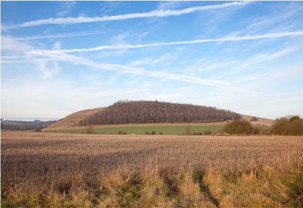
5. Wiltshire Council Archaeology Service have acknowledged that archaeological findings have been identified on the site. Impacts have not been adequately assessed. Test trenches should be dug before any layout is considered and any planning application is put forward and make any outline planning application fraught with risk of harm.

6. Two and three-storey dwellings will overlook existing bungalows. The design is essentially suburban

7. It has been excluded from the Draft Warminster Neighbourhood Plan that is currently undergoing Regulation 14 consultation.

8. There is no provision for public art and the proposed public open space is of low quality and poor layout.

9. Is such that there is a risk of flooding, particularly from surface water.

10. With all matters except access reserved, we are concerned that the Planning Authority is being asked to accept the principle of development without sufficient certainty over how these impacts would be addressed in practice. While outline permission may be suitable for simple and uncontroversial sites, the opposite should apply in what is a complex site which has already been rejected for inclusion in the merging Neighbourhood Plan.

The objection will now be submitted to the planning authority at Wiltshire Council.

The comments from Warminster Town Council are only advisory, any decision on whether to grant planning permission and any associated conditions will be made by Wiltshire Council.

For more information contact Warminster Town Council, Tel: 01985 214847 or email: admin@warminster-tc.gov.uk

error: Content is protected !!